Related Research Articles
Newtown may refer to:

Monknewtown, historically called Rathenskin, is a townland 3 km east of Slane in County Meath, Ireland. It stands on the right bank of the Mattock River, which feeds several historic watermills nearby and which forms approximately the townland's eastern boundary with Keerhan and Sheepgrange townlands in County Louth. Neighbouring townlands to the south are Balfeddock, Knowth, and Crewbane, to the west Cashel, Mooretown, and Knockmooney. The northern boundary of Monknewtown with Kellystown is formed by a tributary of the Mattock River, while the southern boundary is formed by the N51 road. Other than the latter, only minor roads traverse the townland, among them L5606 from west to east. The townland is in a civil parish of the same name.

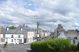
Mountcharles is a village and townland in the south of County Donegal, Ireland. It lies 6 km from Donegal Town on the Killybegs road (N56). It is situated in the civil parish of Inver and the historic barony of Banagh. The village's name is usually pronounced locally as 'Mount-char-liss'.

Drumbeg is a small village, townland and civil parish on the south bank of the River Lagan in County Down, Northern Ireland. The village is covered by the Lisburn City Council area and forms part of the suburban fringe of Belfast.

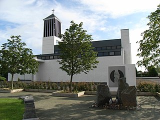
Tullylish is a small village, townland and civil parish in County Down, Northern Ireland. It sits on the River Bann, along the main road between the towns of Banbridge and Portadown. In the 2001 census it had a population of 105 people. It lies within the civil parish of Tullylish and Banbridge District.
Slane may refer to:

Yellow Furze is a small village in County Meath, Ireland. It is located 5 km southwest of Slane, on the boundary between the townlands of Dollardstown and Seneschalstown.
Aughareamlagh is a townland of 800 acres in County Antrim, Northern Ireland. It is situated approximately 2.6 miles (4.2 km) southwest of Carnlough, in the civil parish of Tickmacrevan and the historic barony of Glenarm Lower. Aughareamlagh was known for its bauxite mining.

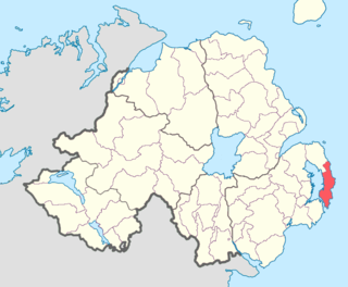
Ards Upper is a barony in County Down, Northern Ireland. It lies on the southern half of the Ards Peninsula in the east of the county, with the Irish Sea to its east and Strangford Lough to its west. It is bordered by two other baronies: Ards Lower to the north; and Lecale Lower just across the mouth of Strangford Lough to the south.

Tullynakill is a civil parish and townland in County Down, Northern Ireland. It is situated in the historic barony of Castlereagh Lower.
Cushinstown is a townland which, together with Roadmain and Curraghtown, is in the parish of Duleek, County Meath, Ireland. This entity is not, at any point geographically attached to the main part of the parish, so it might be said that these townlands are an "off-shore island of Duleek Parish". To confuse things further, the part of Cushinstown townland which extends from the stream at Schoolhouse towards "The Snail Box" is in Curraha parish. However, broadly speaking, the locality known as Cushinstown embraces those townlands which form the catchment area for the local school. Cushinstown is in a civil parish of the same name.
Dysart is a civil parish in County Westmeath, Ireland. It is located about 8.5 kilometres (5 mi) south‑west of Mullingar.
Lugnagullagh is a townland in County Westmeath, Ireland. It is located about 635 kilometres (395 mi) north–west of Mullingar.
Ballyboy is a townland in County Westmeath, Ireland. It is located about 5.96 kilometres (4 mi) north–west of Mullingar.
Johnstown is a townland in County Westmeath, Ireland. It is located about 8.3 kilometres (5 mi) north‑west of Mullingar.

Walshestown North is a townland in County Westmeath, Ireland. It is located about 4.64 kilometres (3 mi) west–north–west of Mullingar.
Slane More is a townland in County Westmeath, Ireland. It is located about 6.19 kilometres (4 mi) west–north–west of Mullingar.
Slane Beg is a townland in County Westmeath, Ireland. It is located about 7.43 kilometres (5 mi) north–west of Mullingar.