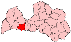
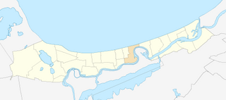
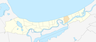
| Sloka | ||
|---|---|---|
| neighbourhood | ||
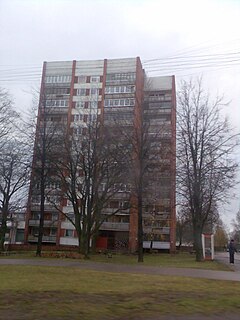
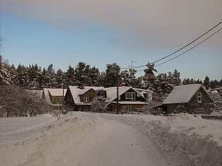
Sloka's church | ||
| ||
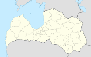
 Location in Jūrmala | ||
| Country | ||
| City | Jūrmala | |
| First mentioned | 1255 | |
| Town rights | 1785 | |
| City rights | 1878 | |
| Included in Jūrmalā | 1959 | |
| Area | ||
| • Total | 4.8 km2 (1.9 sq mi) | |
| Elevation | 3 m (10 ft) | |
| Population (2008) [1] | ||
| • Total | 6,013 | |
| • Density | 1,252.7/km2 (3,244/sq mi) | |

Sloka is a residential area and neighbourhood of the city Jūrmala, Latvia.

A residential area is a land used in which housing predominates, as opposed to industrial and commercial areas. Housing may vary significantly between, and through, residential areas. These include single-family housing, multi-family residential, or mobile homes. Zoning for residential use may permit some services or work opportunities or may totally exclude business and industry. It may permit high density land use or only permit low density uses. Residential zoning usually includes a smaller FAR than business, commercial or industrial/manufacturing zoning. The area may be large or small.

A neighbourhood, or neighborhood, is a geographically localised community within a larger city, town, suburb or rural area. Neighbourhoods are often social communities with considerable face-to-face interaction among members. Researchers have not agreed on an exact definition, but the following may serve as a starting point: "Neighbourhood is generally defined spatially as a specific geographic area and functionally as a set of social networks. Neighbourhoods, then, are the spatial units in which face-to-face social interactions occur—the personal settings and situations where residents seek to realise common values, socialise youth, and maintain effective social control."
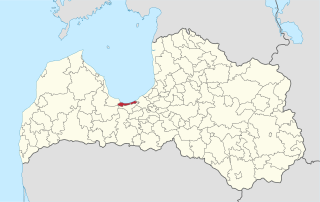
Jūrmala is a city in Latvia, about 25 kilometres west of Riga. Jūrmala is a resort town stretching 32 km and sandwiched between the Gulf of Riga and the Lielupe River. It has a 33 km stretch of white-sand beach, and a population of 56,646, making it the fifth largest city in Latvia.