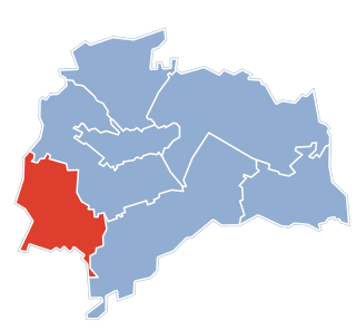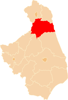
Krojanty is a village in the administrative district of Gmina Chojnice, within Chojnice County, Pomeranian Voivodeship, in northern Poland. It lies near the Tuchola Forest, approximately 7 kilometres (4 mi) north-east of Chojnice and 97 km (60 mi) south-west of the regional capital Gdańsk. The village has a population of 461.

Opoczka is a village in the administrative district of Gmina Świdnica, within Świdnica County, Lower Silesian Voivodeship, in south-western Poland. Prior to 1945 it was in Germany.
Gmina Konopiska is a rural gmina in Częstochowa County, Silesian Voivodeship, in southern Poland. Its seat is the village of Konopiska, which lies approximately 12 kilometres (7 mi) south-west of Częstochowa and 53 km (33 mi) north of the regional capital Katowice.

Hillington railway station was a station in Hillington, Norfolk on the now closed Midland and Great Northern Joint Railway line between King's Lynn and Melton Constable. It closed in 1959 along with the rest of the line.

Łochowice is a village in the administrative district of Gmina Białe Błota, within Bydgoszcz County, Kuyavian-Pomeranian Voivodeship, in north-central Poland. It lies 9 kilometres (6 mi) north-west of Białe Błota and 14 km (9 mi) west of Bydgoszcz.
Izvoru is a commune in Argeș County, in southern central Romania. It is composed of a single village, Izvoru.
Węgliska is a village in the administrative district of Gmina Modliborzyce, within Janów Lubelski County, Lublin Voivodeship, in eastern Poland.

Budziski is a village in the administrative district of Gmina Sztabin, within Augustów County, Podlaskie Voivodeship, in north-eastern Poland. It lies approximately 8 kilometres (5 mi) north-west of Sztabin, 15 km (9 mi) south of Augustów, and 69 km (43 mi) north of the regional capital Białystok.

Baraxum is a village in the Khachmaz Rayon of Azerbaijan. The village forms part of the municipality of Uzunoba.
Reijmerstok is a village in the municipality Gulpen-Wittem in the Dutch province of Limburg. It lies southwest of Gulpen and counts about 600 inhabitants. In the village several half timbered houses can be found. There also is a viaduct, which was part of the tramline between the Dutch city of Maastricht and the German city of Aachen that was in use from 1925 until 1938.
Marianka is a village in the administrative district of Gmina Mszczonów, within Żyrardów County, Masovian Voivodeship, in east-central Poland.

Luborcza is a village in the administrative district of Gmina Koniecpol, within Częstochowa County, Silesian Voivodeship, in southern Poland. It lies approximately 6 kilometres (4 mi) west of Koniecpol, 35 km (22 mi) east of Częstochowa, and 75 km (47 mi) north-east of the regional capital Katowice.

Konopiska is a village in Częstochowa County, Silesian Voivodeship, in southern Poland. It is the seat of the gmina called Gmina Konopiska. It lies approximately 12 kilometres (7 mi) south-west of Częstochowa and 53 km (33 mi) north of the regional capital Katowice.

Przyborów is a village in the administrative district of Gmina Nowa Sól, within Nowa Sól County, Lubusz Voivodeship, in western Poland. It lies approximately 4 kilometres (2 mi) east of Nowa Sól and 24 km (15 mi) south-east of Zielona Góra.
Zatoka Leśna is a village in the administrative district of Gmina Miłomłyn, within Ostróda County, Warmian-Masurian Voivodeship, in northern Poland.

Gozdno is a village in the administrative district of Gmina Resko, within Łobez County, West Pomeranian Voivodeship, in north-western Poland. It lies approximately 6 kilometres (4 mi) east of Resko, 21 km (13 mi) north-west of Łobez, and 74 km (46 mi) north-east of the regional capital Szczecin.

Słowikowo is a settlement in the administrative district of Gmina Resko, within Łobez County, West Pomeranian Voivodeship, in north-western Poland. It lies approximately 1 kilometre (1 mi) west of Resko, 24 km (15 mi) north-west of Łobez, and 69 km (43 mi) north-east of the regional capital Szczecin.
Chabówko is a village in the administrative district of Gmina Bielice, within Pyrzyce County, West Pomeranian Voivodeship, in north-western Poland.

Brnjica is a village in the municipality of Pale, Bosnia and Herzegovina.
Balla Balla River is a river in the Pilbara region of Western Australia.


