
Beaufort is a city in and the county seat of Beaufort County, South Carolina, United States. Chartered in 1711, it is the second-oldest city in South Carolina, behind Charleston, which was established in 1670. A city rich in history, culture, southern hospitality, and a seaside charm, Beaufort is affectionally known as the "Queen of the Carolina Sea Islands". The city's population was 13,607 at the 2020 census. It is part of the Hilton Head Island–Bluffton metropolitan area.
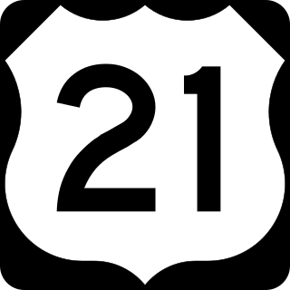
U.S. Route 21 or U.S. Highway 21 (US 21) is a major north–south United States Numbered Highway in the Southeastern United States that travels 394 miles (634 km). The southern terminus is in Hunting Island State Park, South Carolina, 14.4 miles (23.2 km) south of the junction with US 21 Business and South Carolina Highway 802 (SC 802) in Beaufort. The northern terminus is in Wytheville, Virginia at an interchange with Interstate 81 (I-81) and US 52. Despite the "1" indicating that it is a major north-south highway, U.S. 21 only travels through three states, and is no longer a cross-country route as it has been replaced with Interstate 77 in both Ohio and West Virginia. It also has the second-shortest length of all of the major north-south routes, just behind U.S. 91. The route travels through the states of South Carolina, North Carolina, and Virginia. It also connects through major Southeastern cities such as Columbia, South Carolina and Charlotte, North Carolina. The northern portion of the road travels parallel to I-77 in northern South Carolina and North Carolina. The road also has three interchanges with I-26 in Lexington and Calhoun counties in South Carolina.

U.S. Route 601 (US 601) is a north–south United States highway that runs for 316.3 miles (509.0 km) from U.S. Route 321, near Tarboro, South Carolina, to U.S. Route 52, in Mount Airy, North Carolina. In North Carolina, it is one of the main north-south corridors connecting the cities of Salisbury, Mocksville, and Mount Airy.
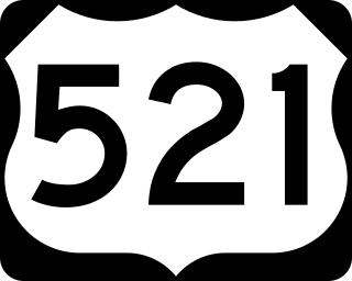
U.S. Route 521 (US 521) is a north–south United States Highway that traverses 177.3 miles (285.3 km), from Georgetown, South Carolina, to Charlotte, North Carolina. Though numbered as an auxiliary route of US 21, it does not actually intersect its parent or any of its sibling routes, though it is in the same general part of the country as other routes from its family. Historically, it once connected to US 21 in Pineville, North Carolina, but various changes have left it terminating a few miles short of the current US 21.
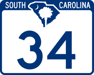
South Carolina Highway 34 (SC 34) is a 185.930-mile (299.225 km) primary state highway in the U.S. state of South Carolina. As one of the longer state highways, it traverses the state east-west from Greenwood to Dillon, connecting the cities of Newberry, Winnsboro, Camden, Bishopville and Darlington.
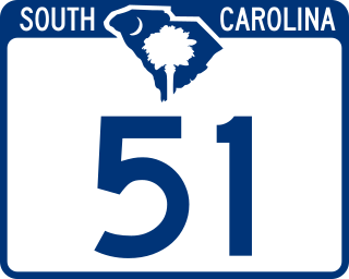
South Carolina Highway 51 (SC 51) is a primary state highway in the U.S. state of South Carolina. It is unique for having two segments, which are separated by over one hundred miles (160 km) from each other. The first segment, traveling north–south, connects the cities of Georgetown and Florence, via the towns of Hemingway, Johnsonville, and Pamplico. The second segment, near Fort Mill, is a reciprocated continuation of North Carolina Highway 51 (NC 51) from the North Carolina state line to U.S. Route 21 (US 21).

U.S. Route 70 (US 70) is a part of the United States Numbered Highway System that runs from Globe, Arizona, to the Crystal Coast of the US state of North Carolina. In North Carolina, it is a major 488-mile-long (785 km) east–west highway that runs from the Tennessee border to the Atlantic Ocean. From the Tennessee state line near Paint Rock to Asheville it follows the historic Dixie Highway, running concurrently with US 25. The highway connects several major cities including Asheville, High Point, Greensboro, Durham, Raleigh, Goldsboro, and New Bern. From Beaufort on east, US 70 shares part of the Outer Banks Scenic Byway, a National Scenic Byway, before ending in the community of Atlantic, located along Core Sound.

U.S. Route 25 (US 25) is a 140.600-mile (226.274 km) U.S. Highway that travels from Brunswick, Georgia to the Kentucky–Ohio state line, where Covington, Kentucky meets Cincinnati, Ohio at the Ohio River. In the U.S. state of South Carolina, it travels south to north in the western part of the state, serving the northern part of the Augusta metropolitan area, Greenwood, and Greenville on its path from North Augusta to North Carolina in the Saluda Mountains, near Travelers Rest.

U.S. Route 278 (US 278) is a 146.130-mile (235.173 km) east–west United States highway that traverses through the South Carolina Lowcountry, from North Augusta to Hilton Head Island.

South Carolina Highway 170 (SC 170) is a 49.010-mile (78.874 km) state highway, connecting northern Beaufort County with southern portions of Beaufort and Jasper counties. Due to increased population growth in both areas, the majority of the road is four lanes wide, with certain areas retaining the original two-lane configuration.

U.S. Highway 17 (US 17) is a 221.454-mile (356.396 km) north–south United States Numbered Highway in the U.S. state of South Carolina located near the Atlantic Ocean. The highway enters the state from Georgia at the Savannah River and serves Hardeeville, Charleston, Georgetown, and Myrtle Beach, before entering North Carolina near Calabash.
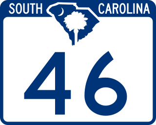
South Carolina Highway 46 (SC 46) is a 17.330-mile-long (27.890 km) state highway in Jasper and Beaufort counties in the Lowcountry region of South Carolina. It connects the rapidly growing communities of Hardeeville and Bluffton and serves as a parallel route to U.S. Route 278 (US 278).

South Carolina Highway 802 (SC 802), is a 6.690-mile (10.767 km) state highway located entirely within Beaufort County, South Carolina. Also known locally as Sams Point Road, SC 802 serves as the principal arterial for Lady's Island and provides the only access to Coosaw Island.

South Carolina Highway 28 (SC 28) is a 131.220-mile (211.178 km) primary state highway in the U.S. state of South Carolina. It consists of two segments of highway signed as east–west but physically traveling north–south from the Georgia state line near Mountain Rest to Beech Island. It is part of a continuous highway separated by a 17.5-mile (28.2 km) stretch through Augusta, Georgia.
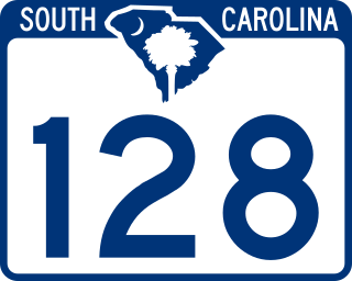
South Carolina Highway 128 (SC 128), is a 2.110-mile (3.396 km) state highway located entirely within Beaufort County, South Carolina. Also known locally as Savannah Highway, SC 128 serves as a principal arterial for the unincorporated Shell Point as well as providing a southern route serving Port Royal, Marine Corps Recruit Depot Parris Island, and the Sea Islands east of Beaufort.
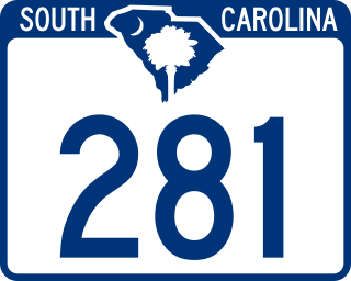
South Carolina Highway 281 (SC 281) is a 3.190-mile (5.134 km) state highway located entirely within Beaufort County, in the southern part of the U.S. state of South Carolina. Known locally as Ribaut Road, SC 281 serves as an arterial connecting Beaufort and Port Royal.

South Carolina Highway 16 (SC 16) is a 9.6-mile-long (15.4 km) primary state highway in the U.S. state of South Carolina that exists mostly within Columbia in Richland County. Its routing is in a backward C-shape.
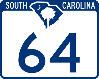
South Carolina Highway 64 (SC 64) is a 73.730-mile (118.657 km) primary state highway in the U.S. state of South Carolina. It serves the cities of Barnwell and Walterboro while also providing a direct route to Charleston, via U.S. Route 17 (US 17).
Several special routes of U.S. Route 21 exist. In order from south to north they are as follows.

South Carolina Highway 62 (SC 62) was a state highway that existed in the central part of Charleston County.
