
Chumbivilcas(3D-map) is a province in the Andes in South Peru. The Inca called it "Chumpiwillka". The seat of the province is Santo Tomás. Officially Chumbivilcas was founded on June 21, 1825.

Huaytapallana or Lasuntay is the highest peak in the Huaytapallana mountain range in the Andes of Peru. Its summit reaches about 5,557 m (18,232 ft) above sea level. The mountain is situated in the Junín Region, Huancayo Province, in the districts of Huancayo and Pariahuanca.
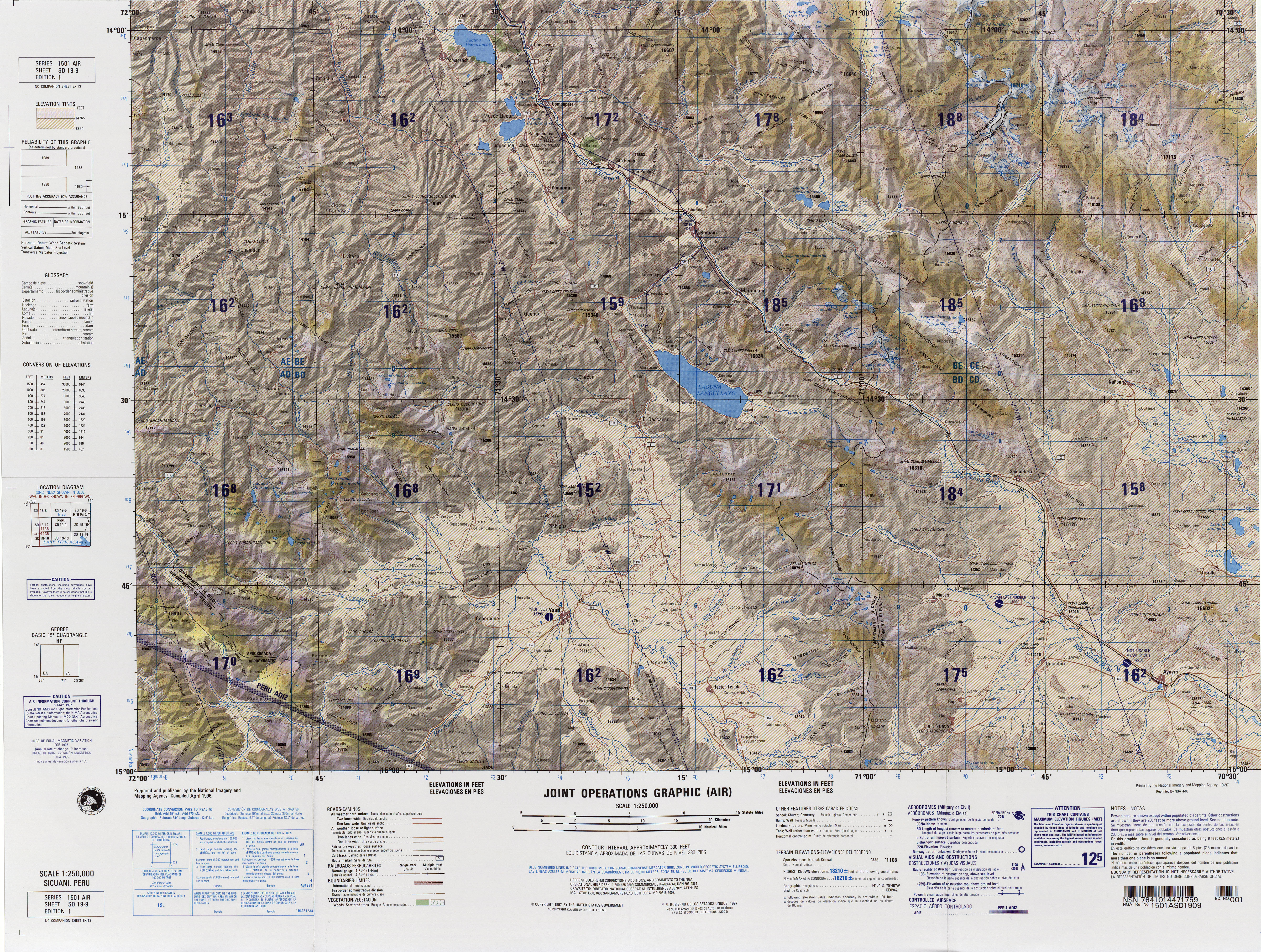
Warmiqucha is a lake in Peru located in the Cusco Region, Chumbivilcas Province, Velille District. It is situated at a height of about 4,596 metres (15,079 ft), about 1.02 km long and 0.55 km at its widest point. Warmiqucha lies northeast of the larger lakes named Urququcha and Khirkiqucha.
Qañawimayu which upstream is called Cayacti and downstream successively is named Jaraucata, Qullpa(Collpa), Yawina(Yavina) and Santo Tomás River is a river in Peru. It is located in the Apurímac Region, Cotabambas Province, and in the Cusco Region, Chumbivilcas Province and Paruro Province. It belongs to the Apurímac watershed.
Anka Wachana is a mountain in the Andes of Peru. Its summit reaches about 4,640.9 m (15,226 ft) above sea level. Anka Wachana is situated in the Cusco Region, Chumbivilcas Province, Velille District.
Hatun Urqu is a mountain in the Cusco Region in Peru, about 4,400 metres (14,436 ft) high. It is situated in the Chumbivilcas Province, Velille District, south-east of Velille.
Minasniyuq is a mountain in the Wansu mountain range in the Andes of Peru, about 5,200 metres (17,060 ft) high. It is situated in the Arequipa Region, La Unión Province, Puyca District, and in the Cusco Region, Chumbivilcas Province, Santo Tomás District. It lies northwest of the mountain Qullpa K'uchu.
Qullpa is a mountain in the Wansu mountain range in the Andes of Peru, about 5,100 metres (16,732 ft) high. It is situated in the Arequipa Region, La Unión Province, Puyca District, and in the Cusco Region, Chumbivilcas Province, Santo Tomás District. It lies northwest of the mountains Qullpa K'uchu and Minasniyuq.
Igma is a 5,291-metre-high (17,359 ft) mountain in the Huanzo mountain range in the Andes of Peru. It is situated in the Apurímac Region, Antabamba Province, Oropesa District, and in the Cusco Region, Chumbivilcas Province, Santo Tomás District. Igma lies north of the mountain Chancohuana, northeast of Huayunca and southeast of Atuncollpa.
Uturunku is a mountain in the Wansu mountain range in the Andes of Peru, about 5,000 metres (16,404 ft) high. It is situated in the Cusco Region, Chumbivilcas Province, Santo Tomás District. Uturunku is surrounded by the mountains Chankuwaña, Wamanripa and Waytani in the northwest, east and southwest.
Waytapallana is a mountain in the Andes of Peru, about 4,800 m (15,748 ft) high. It is situated in the Junín Region, Huancayo Province, Pariahuanca District. Waytapallana lies on the left bank of the Lampa River, east of the Waytapallana mountain range. The village of Aychana lies at its feet.
Jatun Huaychahui also known as Huaychahui, is a 5,445-metre-high (17,864 ft) mountain in the Andes of Peru. It is the highest mountain in the Huanzo mountain range. Jatun Huaychahui is located in the Arequipa Region, on the border of the Condesuyos Province, Cayarani District, and the La Unión Province, Puyca District, and in the Cusco Region, Chumbivilcas Province, Santo Tomás District. It lies southwest of Huiscatongo.
Kinra is a mountain in the Wansu mountain range in the Andes of Peru, about 5,000 metres (16,404 ft) high. It is situated in the Cusco Region, Chumbivilcas Province, Santo Tomás District. Kinra lies south of the river Qañawimayu and north of Ch'iyara Ch'iyara.
Yuraq Kancha is a mountain in the Wansu mountain range in the Andes of Peru, about 5,000 metres (16,404 ft) high. It is situated in the Cusco Region, Chumbivilcas Province, Santo Tomás District. Yuraq Kancha lies north of Minasniyuq and Qullpa K'uchu. The river Qañawimayu originates near the mountain.
Waña is a mountain in the Wansu mountain range in the Andes of Peru, about 5,400 metres (17,717 ft) high. It is situated in the Cusco Region, Chumbivilcas Province, Santo Tomás District. Waña lies northwest of Wamanripa, northeast of Chankuwaña, east of Wayunka and southeast of Ikma.
Sullu Sullu is a mountain in the Wansu mountain range in the Andes of Peru, about 5,100 metres (16,732 ft) high. It is situated in the Cusco Region, Chumbivilcas Province, Santo Tomás District. Sullu Sullu lies south of Sara Sara and northeast of Ikma.
Ancasi is a mountain in the Huanzo mountain range in the Andes of Peru, about 5,000 metres (16,404 ft) high. It is situated in the Arequipa Region, La Unión Province, Puyca District. It lies southwest of Jatun Huaychahui. Chuañuma is east of Ancasi.
Puka Puka is a mountain in the Wansu mountain range in the Andes of Peru which reaches a height of approximately 5,100 metres (16,732 ft). It is located in the Cusco Region, Chumbivilcas Province, Santo Tomás District. Puka Puka lies southeast of Wiska Tunqu.
Kuntur Salla is a 5,003-metre-high (16,414 ft) mountain in the Andes of Peru. It is located in the Arequipa Region, Condesuyos Province, Cayarani District.
Siq'i Urqu is a mountain in the Andes of Peru which reaches a height of approximately 4,850 m (15,910 ft). It is located in the Cusco Region, Chumbivilcas Province, Santo Tomás District, and in the Espinar Province, Coporaque District.


