Related Research Articles

Mato Grosso is one of the states of Brazil, the third largest by area, located in the Central-West region. The state has 1.66% of the Brazilian population and is responsible for 1.9% of the Brazilian GDP.

Mato Grosso do Sul is one of the Midwestern states of Brazil. Neighboring Brazilian states are Mato Grosso, Goiás, Minas Gerais, São Paulo and Paraná. It also borders the countries of Paraguay, to the southwest, and Bolivia, to the west. The economy of the state is largely based on agriculture and cattle-raising. Crossed in the south by the Tropic of Capricorn, Mato Grosso do Sul generally has a warm, sometimes hot, and humid climate, and is crossed by numerous tributaries of the Paraná River. The state has 1.3% of the Brazilian population and is responsible for 1.5% of the Brazilian GDP.

Cáceres is a municipality in the Brazilian state of Mato Grosso. It covers an area of 24,000km2 and as of 2020 had an estimated population of 94,861.

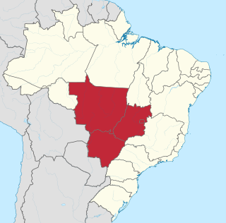
The Central-West or Center-West Region of Brazil is composed of the states of Goiás, Mato Grosso and Mato Grosso do Sul; along with Distrito Federal, where Brazil's national capital, Brasília, is situated. The region comprises 18.86% of the national territory.

Aporé is a municipality in southwest Goiás state, Brazil. The municipality is a large producer of cattle. Aporé belongs to the Southwest Goiás Microregion.
Coronel Sapucaia is a municipality located in the Brazilian state of Mato Grosso do Sul. Its population was 15,352 (2020) and its area is 1,024 km².

Naviraí is a municipality located in the Brazilian state of Mato Grosso do Sul. Its population was 55,689 (2020) and its area is 3,194 km2.
The Aporé River is a river forming the border between Goiás and Mato Grosso do Sul states in central Brazil. It is a tributary of the Paranaíba River, which it enters in the reservoir created by Ilha Solteira Dam on the Paraná River.

The Jauru River is a river in Mato Grosso, a state in western Brazil. It is a tributary of the Paraguay River.

The Aquidauana River is a river of Mato Grosso do Sul state in southwestern Brazil. It is a tributary of the Miranda River, itself a part of the Paraguay River basin.

The Iguatemi River is a river of Mato Grosso do Sul state in southwestern Brazil.

The Miranda River is a river of Mato Grosso do Sul state in southwestern Brazil. It is a tributary of the Paraguay River. The river flows north and south, and forms the border between Brazil and Paraguay.

The Rio Negro is a river of Mato Grosso do Sul state in southwestern Brazil.

The Sucuriú River is a river of Mato Grosso do Sul state in southwestern Brazil. It is a tributary of the Paraná River, which it joins just upriver of Eng Souza Dias (Jupiá) Dam.

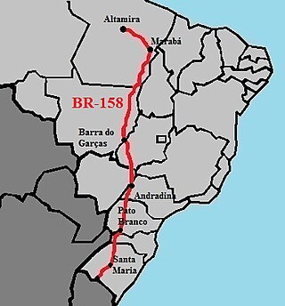
BR-158 is a federal highway of Brazil. One of the longest highways in the country, the 3,955.0-kilometre (2,457.5 mi) road connects Altamira, Pará, to Santana do Livramento on the Uruguayan border where it joins Route 5 (Uruguay).

Events in the year 1981 in Brazil.

Miss Mato Grosso do Sul is a Brazilian Beauty pageant which selects the representative for the State of Mato Grosso do Sul at the Miss Brazil contest. The pageant was created in 1979 and has been held every year since with the exception of 1990-1991, 1993, and 2020. The pageant is held annually with representation of several municipalities. Since 2021, the State director of Miss Mato Grosso do Sul is, Muryllo Lorensoni.
References
- Brazilian Ministry of Transport
- Rand McNally, The New International Atlas, 1993.
Coordinates: 19°40′S55°49′W / 19.667°S 55.817°W