
U.S. Route 79 is a United States highway in the Southern United States. The route is officially considered and labeled as a north–south highway, but its path is actually more of a diagonal northeast–southwest highway. The highway's northern/eastern terminus is in Russellville, Kentucky, at an intersection with U.S. Route 68 and KY 80. Its southern/western terminus is in Round Rock, Texas, at an interchange with Interstate 35, ten miles (16 km) north of Austin. US 79, US 68, and Interstate 24/US 62 are the primary east–west access points for the Land Between the Lakes recreation area straddling the Kentucky/Tennessee border.

U.S. Route 72 (US 72) is an east–west United States highway that travels for 317.811 miles (511.467 km) from southwestern Tennessee, throughout North Mississippi, North Alabama, and southeastern Tennessee. The highway's western terminus is in Memphis, Tennessee and its eastern terminus is in Chattanooga. It is the only U.S. Highway to begin and end in the same state, yet pass through other states in between. Prior to the U.S. Highway system signage being posted in 1926, the entire route was part of the Lee Highway.
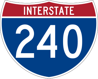
Interstate 240 (I-240) is a 19.27-mile-long (31.01 km) auxiliary Interstate Highway in the US state of Tennessee that forms a bypass around the southern and eastern neighborhoods of Memphis. Combined, I-240 and its parent, I-40, form a contiguous beltway around most of Memphis. I-240 runs from I-40 in Midtown Memphis to I-40 and Sam Cooper Boulevard in East Memphis. Throughout its length, it provides access to I-55, multiple U.S. and state routes, and the Memphis International Airport. The segment between the western terminus and I-55 is a north–south route, and the segment between I-55 and the eastern terminus runs east to west. Throughout its length, I-240 is designated as the Dr. Martin Luther King Jr. Expressway, the W.B. Fowler Sr. Expressway, and the Avron B. Fogelman Expressway.

State Route 385 (SR 385) is the designation for two non-contiguous segments of east–west controlled-access highway in the Memphis metropolitan area in Shelby County, Tennessee, separated by a section of Interstate 269 (I-269). The northern section, designated as Paul W. Barret Parkway runs between U.S. Route 51 in Millington and I-40 in Arlington, both of which are suburbs of Memphis. The southern segment, known as Bill Morris Parkway, runs between I-240 in southeastern Memphis, and I-269 in Collierville, and also serves the city of Germantown. The northern segment, combined with I-269, serves as a partial outer beltway around Memphis, and the southern segment serves as a spur route between the city and its southeastern suburbs, and is notable for its almost-exclusive use of single-point urban interchanges (SPUIs).

U.S. Route 51 (US 51), mostly overlapped by the unsigned State Route 3 (SR 3), is a north–south state highway in the U.S. state of Tennessee, that is 135.9 miles (218.71 km) long, completely within West Tennessee. It begins in Shelby County and ends in Obion County. The SR 3 designation is seen largely on mileposts.

Interstate 55 (I-55) in Tennessee lies entirely within the city of Memphis, located in Shelby County. The highway enters the city from Southaven in Desoto County, Mississippi, and passes through the Whitehaven area of the city, bypassing Memphis International Airport to the west.
Wolfchase is a neighborhood located adjacent to the Bartlett city limits in northeastern Memphis, Tennessee, United States, and is a part of the Memphis metropolitan area. Its name is derived from its proximity to the Wolf River.

State Route 14 is a south–north route from the Mississippi border in Memphis, Tennessee to an intersection with State Route 54 in Tipton County.
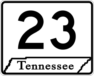
State Route 23 is an east–west major arterial urban highway running from Bellevue Boulevard near downtown Memphis to Interstate 240 near Shelby Farms in Shelby County, Tennessee.
Wolfchase Galleria is a regional shopping mall in northeast Memphis, Tennessee, United States. The mall is managed by Simon Property Group. It is located across the street from the Bartlett city limits at the intersection of Germantown Parkway and Interstate 40. Wolfchase Galleria features 117 stores and a food court. The anchor stores are Macy's, JCPenney, Dillard's, and Malco Theatres. There is 1 vacant anchor store that was once Sears.

State Route 57 is an east–west highway that runs from Memphis to the Mississippi state line near Pickwick Dam and Pickwick Landing State Park. Except for in Shelby County and western Fayette County, SR 57 is a two lane road generally with a 55 mph (89 km/h) speed limit. The majority of the road follows the path of the Memphis and Charleston Railroad.
U.S. Route 79 in Tennessee enters the state from Arkansas via the Memphis & Arkansas Bridge in Memphis, and runs northeast through western and the northwestern portions of middle Tennessee, and leaving the state into Kentucky northeast of Clarksville. Along the route, US 79 is accompanied with several concurrencies, including hidden designations, throughout its alignment in Tennessee.
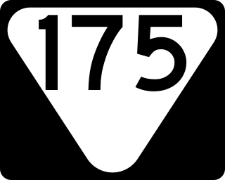
State Route 175 is a Tennessee designated state route, running for a total of approximately 26.3 miles (42.3 km) through southern Shelby County, Tennessee.

The Memphis Parkway System is a system of parkways that formed the original outer beltway around Memphis, Tennessee. They consist of South Parkway, East Parkway, and North Parkway. Designed by George Kessler, the Parkway System connects Martin Luther King Jr. Riverside Park with Overton Park. The system was put on the National Register of Historic Places on July 3, 1989.

State Route 59 is a state highway in Tennessee. It runs from the Mississippi River to just north of Somerville passing through Tipton and Fayette counties. Excluding the portion where it is concurrent with US 51 in Covington, which is 4-lane highway, it is a two-lane rural highway throughout its length and carries a 55 miles per hour (89 km/h) speed limit except when it passes through towns, in which case this speed limit can be significantly less.

State Route 204 is a state highway in Shelby County, Tennessee, United States, that connects Memphis and Millington.

State Route 205 is a state highway in Shelby County, Tennessee.
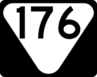
State Route 176 is a north–south state highway located entirely within Memphis, Tennessee.

State Route 196 is a state highway located within Fayette County, Tennessee. It runs from Piperton north to Gallaway. The entire route is a two-lane rural highway.

State Route 277, also known as Airways Boulevard and East Parkway, is a major north–south urban state highway in Memphis, Shelby County, Tennessee.

