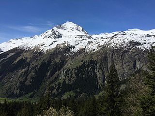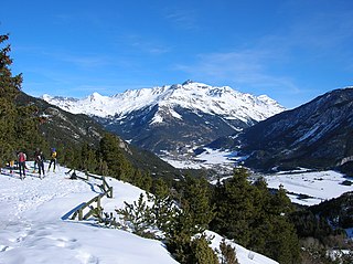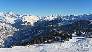
Le Môle is a mountain of the Chablais Alps in the Haute-Savoie department of France which dominates the area around the town of Bonneville. The communes of Ayze, La Tour, Saint-Jean-de-Tholome, Marignier, Saint-Jeoire-en-Faucigny, Viuz-en-Sallaz, Peillonnex, and Faucigny encircle it. It rises to 1,863 metres and affords an excellent 360-degree view of the surrounding region.

Aiguille de Péclet is a mountain of Savoie, France. It lies in the Massif de la Vanoise in the Graian Alps east of the resort of Val Thorens, on the edge of the Vanoise National Park.

Dent Parrachée is a mountain of Savoie, France. It lies in the Massif de la Vanoise range. It has an elevation of 3,697 metres above sea level.

Grand Arc is a mountain of Savoie, France. It lies in the Massif de la Vanoise range. It has an elevation of 2,484 metres above sea level.

Grand Roc Noir is a mountain of Savoie, France. It lies in the Massif de la Vanoise range. It has an elevation of 3,582 metres above sea level.

The Pointe Percée is the highest mountain in the Aravis range of the French Prealps in Haute-Savoie. It rises to 2753 meters and has 1643 m of prominence, and is thus is classified as an ultra prominent peak. Its first documented climb was by M. L. Maquelin of Geneva in 1865, though it was likely climbed much earlier.

Roignais is a mountain of Savoie, France. It lies in the Beaufortain Massif range. It has an elevation of 2,995 metres above sea level.

Pointe de Charbonnel is a mountain of Savoie, France. It lies in the Graian Alps range. It has an elevation of 3,752 metres above sea level.

Arcalod is a mountain of Savoie, France. It lies in the Bauges range of the French Prealps and has an elevation of 2,217 metres (7,274 ft) above sea level.

Pécloz is a mountain of Savoie, France. It lies in the Bauges range of the French Prealps and has an elevation of 2,197 metres above sea level.

Dent de Cons is a mountain of Savoie and Haute-Savoie, France. It lies in the Bauges range of the French Prealps and has an elevation of 2,062 metres.

Aiguille du Belvédère is a mountain of Haute-Savoie, France. It lies in the Aiguilles Rouges range of the French Prealps and has an altitude of 2,965 metres (9,728 ft) above sea level.

Étale is a mountain of Savoie and Haute-Savoie, France. It lies in the Aravis Range of the French Prealps and has an elevation of 2,484 metres above sea level.

Pic de Jallouvre is a mountain of Haute-Savoie, France. It is the highest mountain in the Bornes Massif range of the French Prealps and its highest point, the Pointe Blanche, has an elevation of 2438 metres.

Mont de Grange is a mountain of the Chablais Alps in Haute-Savoie, France.

Mont Orchez is a mountain in the Chablais Alps in Haute-Savoie, France.

The Tournette is a mountain in the Bornes Massif in Haute-Savoie, France. It is the highest of the mountains surrounding Lake Annecy and has a prominence of 1,514m, qualifying it as an Ultra.

Aiguille de la Grande Sassière is a mountain in the Graian Alps, on the boundary between the Aosta Valley and the French department of Savoie.

Mont Colombier is a mountain of the Bauges Massif in the French Prealps in Savoie, France.

Grand Galibier is a mountain of the Cottian Alps in Savoie, France.


