
Yellow Medicine County is a county in the State of Minnesota. Its eastern border is formed by the Minnesota River. As of the 2020 census, the population was 9,528. Its county seat is Granite Falls.

Le Sueur County is a county located in the south central portion of the U.S. state of Minnesota. As of the 2020 census, the population was 28,674. Its county seat is Le Center.

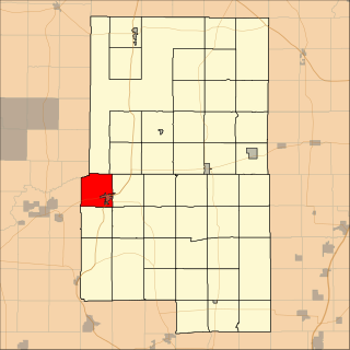
Faribault County is a county in the U.S. state of Minnesota. As of the 2020 census, the population was 13,921. Its county seat is Blue Earth.
Aitkin Township is a township in Aitkin County, Minnesota, United States. The population was 856 as of the 2010 census.

Farm Island Township is a township in Aitkin County, Minnesota, United States. The population was 1,099 as of the 2010 census.
Hazelton Township is a township in Aitkin County, Minnesota, United States. The population was 844 as of the 2010 census.
White Pine Township is a township in Aitkin County, Minnesota, United States. The population was 34 as of the 2010 census.
Brimson is an unincorporated community in Ault Township, Saint Louis County, Minnesota, United States.

Eagle Mountain is the highest natural point in Minnesota, United States, at 2,301 feet (701 m). It is in northern Cook County, it is in the Boundary Waters Canoe Area Wilderness and Superior National Forest in the Misquah Hills, northwest of Grand Marais. It is a Minnesota State Historic Site.
Bachelor Lake is a lake in Brown County, Minnesota in the northeastern part of Stark township. Covering 79.80 acres, it is an officially protected water of the State of Minnesota. The lake is within the Cottonwood River Major Watershed. The lake’s elevation is 1,004 feet (306 m), and it is zoned as a shoreland area which is regulated as a shoreland management water.

The Chippewa River is a 153-mile-long (246 km) tributary of the Minnesota River in western and southwestern Minnesota in the United States. Via the Minnesota River, it is part of the watershed of the Mississippi River.
Markham is an unincorporated community in Colvin Township, Saint Louis County, Minnesota, United States.
Saginaw is an unincorporated area in Saint Louis County, Minnesota, United States. Although unincorporated, Saginaw has a post office with the ZIP code 55779.
Fairbanks is an unincorporated community in Fairbanks Township, Saint Louis County, Minnesota, United States; located within the Superior National Forest.
Central Lakes is an unincorporated community in Saint Louis County, Minnesota, United States.
Nett Lake is an unincorporated community and census-designated place (CDP) in Nett Lake Territory, Saint Louis County, Minnesota, United States; located on the shore of Nett Lake. As of the 2010 census, its population was 284.
Island Lake is an unincorporated community in Beltrami County, in the U.S. state of Minnesota.
Wall Lake is an unincorporated community in Otter Tail County, in the U.S. state of Minnesota.
