Related Research Articles

Woodland is a village in Belmont Township, Iroquois County, Illinois, United States. The population was 324 as of the 2010 census.
Hopkins Township is a civil township of Allegan County in the U.S. state of Michigan. The population was 2,601 at the 2010 census. The township is named after Stephen Hopkins, a signer of the Declaration of Independence.

Berger is a city in northwest Franklin County, Missouri, United States, located south of the Missouri River. The population was 221 at the 2010 census.

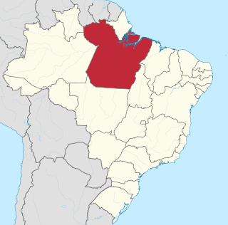
Pará is a state of Brazil, located in northern Brazil and traversed by the lower Amazon River. It borders the Brazilian states of Amapá, Maranhão, Tocantins, Mato Grosso, Amazonas and Roraima. To the northwest are the borders of Guyana and Suriname, to the northeast of Pará is the Atlantic Ocean. The capital and largest city is Belém, which is located at the Marajó bay, near the estuary of the Amazon river. The state, which is home to 4.1% of the Brazilian population, is responsible for just 2.2% of the Brazilian GDP.

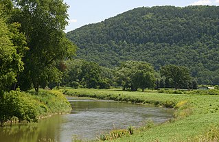
The Canisteo River is a 61.0-mile-long (98.2 km) tributary of the Tioga River in western New York in the United States. It drains a dissected plateau, a portion of the northern Allegheny Plateau southwest of the Finger Lakes region, in the far northwestern reaches of the watershed of the Susquehanna River.
The Hoppner River flows northward from Wollaston Peninsula into Dolphin and Union Strait at the juncture with the Amundsen Gulf in Nunavut, Canada. Long-tailed duck frequent the area.
The Coraci River is a river of Pará state in north-central Brazil.
Centro do Guilherme is a municipality in the state of Maranhão in the Northeast region of Brazil the poorest city in Brazil.

Bragança, Pará is a municipality in the state of Pará in the Northern region of Brazil.

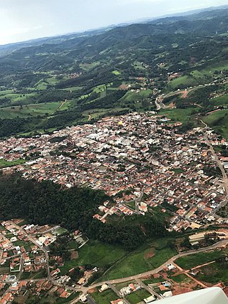
Divisa Nova is a municipality in the state of Minas Gerais in the Southeast region of Brazil.
Caldas is a municipality in the state of Minas Gerais in the Southeast region of Brazil.

Congonhal is a municipality in the state of Minas Gerais in the Southeast region of Brazil.

Juruaia is a municipality in the state of Minas Gerais in the Southeast region of Brazil.

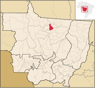
Colíder is a municipality in the state of Mato Grosso in the Central-West Region of Brazil. The Colíder Dam is being constructed about 40 km (25 mi) southeast of it on the Teles Pires River.

Guesalaga Peninsula is a small, L-shaped, low-lying shingle covered peninsula on the east side of Discovery Bay, Greenwich Island in the South Shetland Islands, Antarctica forming the northwest coast of Iquique Cove and the north side of its entrance. The feature is projecting 700 m (766 yd) southwestwards and 300 m (328 yd) wide, with the narrow shingle Reyes Spit extending 400 m (437 yd) southwestwards from its west extremity Reyes Point into Discovery Bay. The Chilean Antarctic base Arturo Prat is situated on the peninsula.
Bryman, is a populated place in the central Mojave Desert, within San Bernardino County, California. It lies along the Mojave River in the northern Victor Valley, at an elevation of 2,526 feet . It is on the historic U.S. Route 66, 5 miles north of Oro Grande, and south of Helendale.

Kom Glacier is the 10 km long and 8 km wide glacier on the west side of Hemimont Plateau, Fallières Coast in Graham Land, Antarctica. It is situated south of Forbes Glacier and north of Swithinbank Glacier, drains westwards between Mercury Ridge and Zhefarovich Crag, and flows into Square Bay next north of Swithinbank Glacier.
Grindstone Creek is a stream in Clinton, DeKalb and Daviess counties in the U.S. state of Missouri. It is a tributary of the Grand River.
Eastview is an extinct town in northeastern Taney County, in the Ozarks of southwest Missouri. The location is along a ridge occupied by Farm Road 147 which is a portion of the scenic Glade Top Trail within the Mark Twain National Forest.
Susanna is an unincorporated community in northeastern Webster County, in the Ozarks of southwest Missouri.
References
Coordinates: 2°43′50″S46°40′29″W / 2.73056°S 46.67472°W