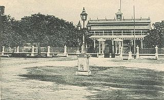
Karaikal is a town of the Indian Union Territory of Puducherry. Karaikal was sold to the French by the Rajah of Thanjavur and became a French Colony in 1739. The French held control, with occasional interruptions from the British, until 1954, when it was de facto incorporated into the Republic of India, along with Mahé, Yanaon, and Pondichéry.
Keezhaiyur is a revenue village in the Karaikal taluk of Karaikal District. It is situated at a distance of about 6 kilometres south-east of Karaikal town and 2 kilometres east of Tirumalarajanpattinam commune.
Polagam is a revenue village in the Karaikal taluk of Karaikal District. It is situated at a distance of about 8 kilometres south-west of Karaikal town and 2 kilometres south of Tirumalarajanpattinam commune.
Konnakavaly is a revenue village in the Karaikal taluk of Karaikal District. It is situated to the north of Kottucheri town.
Thiruvettakudy is a revenue village in the Karaikal taluk of Karaikal District. It is situated to the north of Kottucheri town.
Kilianur is a revenue village in the Thirunallar taluk of Karaikal District. It is situated to the north-west of Karaikal town.
Melakasakudy is a revenue village in the Karaikal taluk of Puducherry District. It is situated to the west of Karaikal town.
Melasuprayapuram is a revenue village in the Thirunallar taluk of Karaikal District. It is situated to the west of Karaikal town.
Pettai is a panchayat village and revenue village in Pondicherry Union Territory, India. Administratively, Pettai is under the Thirunallar Taluk of Karaikal District, Pondicherry Union Territory. Pettai is situated on the banks of the Arasalar River, to the west of Karaikal town and south of Thirunallar.
Elyankudi is a revenue village in the Thirunallar taluk of Karaikal District in India. It is situated to the north-west of Thirunallar.
Sorakudy is a revenue village in the Thirunallar taluk of Karaikal District. It is situated to the south of Nedungadu and north-west of Thirunallar.
Sellur is a revenue village in the Thirunallar taluk of Karaikal District. It is situated to the west of Thirunallar.
Thennankudy is a revenue village in the Thirunallar taluk of Karaikal District. It is situated to the west of Thirunallar.
Pandaravadisethur is a revenue village in the Thirunallar taluk of Karaikal District. It is situated to the north-west of Thirunallar.
Ambagarathur is a revenue city in the Thirunallar taluk of Karaikal District in the Indian union territory of Puducherry. It is situated to the west of Thirunallar. Ambagarathur is 8.3 km distance from its Tensil Main Town Thirunallar. Ambagarathur is 12.9 km distance from its District Headquarters Karaikal. And 108 km distance from its State Main City Pondicherry. The place is famous for BhadraKali amman Temple.
Nallambal is a revenue village in the Thirunallar taluk of Karaikal District, India. It is situated to the north-west of Thirunallar.
Karaikal taluk is a taluk of Karaikal District of Puducherry, India. It consists of one municipality, Karaikal and the following revenue villages:

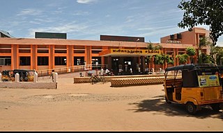
Mayiladuthurai Junction is a junction railway station serving the town of Mayiladuthurai in Mayiladuthurai District of Tamil Nadu, India.
Vanjore is a village in T. R. Pattinam taluk, Karaikal district, Puducherry Union territory. This is divided into three sub villages for revenue purposes namely Keezhavanjore, Melavanjore and Keezhavanjore Kuppam.


