
Bay City is a city in and the county seat of Bay County, Michigan, United States. The population was 32,661 as of the 2020 census. The city is located just upriver from Saginaw Bay on the Saginaw River. It is the principal city of the Bay City metropolitan area, which is coterminous with Bay County as part of the larger Greater Tri-Cities region of Central Michigan. Several historic bridges cross the Saginaw River in Bay City, including Liberty Bridge, Veterans Memorial Bridge, Independence Bridge, and Lafayette Avenue Bridge.
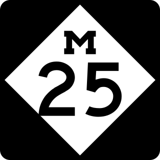
M-25 is a state trunkline highway in the US state of Michigan. The route follows an arc-like shape closely along the Lake Huron shore of the Thumb in the eastern Lower Peninsula between Port Huron and Bay City. It serves the lakeshore resorts along Lake Huron and Saginaw Bay and generally lies within sight of the lake and the bay. All is surface road and generally scenic, except for the freeway segment near the junction with Interstate 75 (I-75) and connection into the US Highway 10 (US 10) freeway.
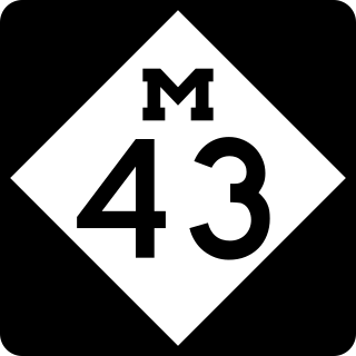
M-43 is a state trunkline highway in the southwestern and central parts of the US state of Michigan. The highway runs from South Haven to Webberville along an indirect path through both rural areas and larger cities. The trunkline follows five overall segments: a southeasterly track from South Haven to Oshtemo Township, a northerly path to Plainwell, a southeasterly route to Richland, a northeasterly course to the Hastings area and an easterly route through the Lansing area.

US Highway 16 (US 16), also called Grand River Avenue for much of its length in the state, was one of the principal roads prior to the post-World War II construction of freeways in the state of Michigan. Before the creation of the United States Numbered Highway System in 1926, the highway had been designated as a state highway numbered M-16. The modern route of Grand River Avenue cuts across the Lower Peninsula in a northwest–southeast fashion from near Grand Rapids to Detroit. Before the late 1950s and early 1960s, US 16 followed other roads between Muskegon and Grand Rapids, and then Grand River Avenue through Lansing to Detroit. In the years immediately preceding the creation of the Interstate Highway System, US 16 was shifted from older roads to newer freeways. Later, it was co-designated as an Interstate. When the gap in the freeway was filled in around Lansing, the US 16 designation was decommissioned in the state. The freeway was solely designated Interstate 96 (I-96) east of Grand Rapids and I-196 west of that city.

M-13 is a 73.339-mile (118.028 km) north–south state trunkline highway that runs through the Saginaw Bay region of the US state of Michigan. It runs from Interstate 69 (I-69) south of Lennon to US Highway 23 (US 23) near Standish. The southern section of the trunkline runs along a pair of county lines in a rural area dominated by farm fields. The highway directly connects the downtown areas of both Saginaw and Bay City. North of the latter city, the Lake Huron Circle Tour follows M-13 along the Saginaw Bay.

Interstate 675 (I-675) is an auxiliary Interstate Highway in the US state of Michigan. The freeway is a 7.7-mile-long (12.4 km) loop route through downtown Saginaw, as I-75 passes on the east side of the city. I-675 is also a state trunkline highway that provided a bypass of the former drawbridge carrying I-75 and US Highway 23 (US 23) across the Saginaw River. Construction of I-675 started in 1969 and the freeway opened in 1971. Since then, sections near downtown were reconstructed between 2009 and 2011 to update one of the freeway's interchanges and rebuild the bridge over the Saginaw River.
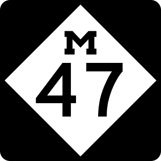
M-47 is a north–south state trunkline highway in the US state of Michigan. It runs near Saginaw and Midland in the Tri-Cities area of the Lower Peninsula. The highway runs through suburban and agricultural areas to connect the two cities with the airport in the area. The northernmost section of M-47 runs along a freeway to the terminus at US Highway 10 (US 10). M-47 runs for 14.328 miles (23.059 km), all of which has been listed as a part of the National Highway System.
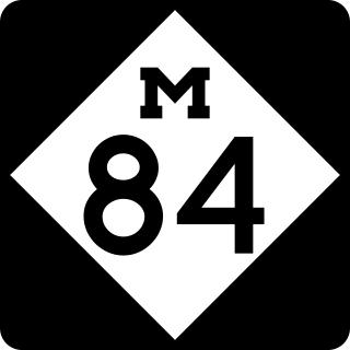
M-84 is a north–south state trunkline highway in the Lower Peninsula of the US state of Michigan. The highway starts on the west side of Saginaw at an intersection with M-58 and runs north through residential and commercial areas. There are two colleges or universities near the trunkline as it connects Saginaw with Bay City, providing an alternative to the freeway that carries Interstate 75/US Highway 23 (I-75/US 23). The northern terminus is at a pair of intersections with M-25 on the east side of the Saginaw River in Bay City.

Interstate 75 (I-75) is a part of the Interstate Highway System that runs north–south from Miami, Florida, to Sault Ste. Marie in the Upper Peninsula of the US state of Michigan. I-75 enters the state from Ohio in the south, north of Toledo, and runs generally northward through Detroit, Pontiac and Bay City, crosses the Mackinac Bridge, and ends at the Canadian border in Sault Ste. Marie. The freeway runs for approximately 396 miles (637 km) on both of Michigan's major peninsulas. The landscapes traversed by I-75 include Southern Michigan farmland, northern forests, suburban bedroom communities, and the urban core of Detroit. The freeway also uses three of the state's monumental bridges to cross major bodies of water. There are four auxiliary Interstates in the state related to I-75, as well as nine current or former business routes, with either Business Loop I-75 or Business Spur I-75 designations.

M-81 is an east–west state trunkline highway in the Lower Peninsula of the US state of Michigan. The trunkline travels from the city of Saginaw at the junction with M-13 to the junction with M-53 east of Cass City over the county line in Greenleaf Township in northwestern Sanilac County in The Thumb area of the state. Outside of the cities and villages along its route, M-81 passes through mostly rural farm country. Near Saginaw it intersects the freeway that carries both Interstate 75 (I-75) and US Highway 23 (US 23) in an industrial area.

US Highway 23 (US 23) is a north–south United States Numbered Highway that runs from Jacksonville, Florida, to Mackinaw City, Michigan. In the US state of Michigan, it is a major, 362-mile-long (583 km), north–south state trunkline highway that runs through the Lower Peninsula. The trunkline is a freeway from the Michigan–Ohio state line near Lambertville to the city of Standish, and it follows the Lake Huron shoreline from there to its northern terminus. Serving the cities of Ann Arbor and Flint, US 23 acts as a freeway bypass of the Metro Detroit area. Overall, the highway runs through rural areas of the state dominated by farm fields or woodlands; some segments are urban in character in the Ann Arbor, Flint and Tri-Cities areas. The section from Flint north to Standish also carries Interstate 75 (I-75) along a concurrency that includes a segment that carries almost 70,000 vehicles on a daily basis.

There are three business routes of US Highway 10 (US 10) in the state of Michigan. They serve as connections from the main highway into Reed City, Clare, and Midland. Additionally, there were another two business routes that connected US 10 to the downtowns of Flint and Pontiac. All these business routes are, or were, former sections of US 10 that were marked Business US Highway 10 after the main highway was realigned to bypass the downtowns of the cities.
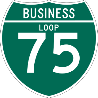
There have been nine business routes for Interstate 75 in the US state of Michigan. Numbered either Business Loop Interstate 75 or Business Spur Interstate 75 depending if they are a full business loop or a business spur, these highways are former routings of I-75's predecessor highways in the state. They were designated as I-75 was completed through the various areas of Michigan. The business loop in Pontiac runs through that city's downtown along a section of Woodward Avenue and a segment of roadway formerly used by M-24. The former Saginaw business loop was once a part of US Highway 23 (US 23), as was most of the original Bay City business loop. The roadways that make up the business loops in West Branch and Roscommon were previously part of M-76, I-75's predecessor through that part of the state. In Northern Michigan, the Grayling and Gaylord BL I-75s were part of US 27, and the two business routes in St. Ignace and Sault Ste. Marie in the Upper Peninsula of Michigan were part of US 2. A tenth business route, a loop through Indian River has been proposed. Each of the business loops connects to I-75 on both ends and runs through their respective cities' downtown areas. The two business spurs only connect to I-75 on one end and run into the appropriate downtown.

US Highway 41 (US 41) is a part of the United States Numbered Highway System that runs from Miami, Florida, to the Upper Peninsula of the US state of Michigan. In Michigan, it is a state trunkline highway that enters the state via the Interstate Bridge between Marinette, Wisconsin, and Menominee, Michigan. The 278.769 miles (448.635 km) of US 41 that lie within Michigan serve as a major conduit. Most of the highway is listed on the National Highway System. Various sections are rural two-lane highway, urbanized four-lane divided expressway and the Copper Country Trail National Scenic Byway. The northernmost community along the highway is Copper Harbor at the tip of the Keweenaw Peninsula. The trunkline ends at a cul-de-sac east of Fort Wilkins State Park after serving the Central Upper Peninsula and Copper Country regions of Michigan.

US Highway 2 (US 2) is a component of the United States Numbered Highway System that connects Everett, Washington, to the Upper Peninsula (UP) of the US state of Michigan, with a separate segment that runs from Rouses Point, New York, to Houlton, Maine. In Michigan, the highway runs through the UP in two segments as a part of the state trunkline highway system, entering the state at Ironwood and ending at St. Ignace; in between, US 2 briefly traverses the state of Wisconsin. As one of the major transportation arteries in the UP, US 2 is a major conduit for traffic through the state and neighboring northern Midwest states. Two sections of the roadway are included as part of the Great Lakes Circle Tours, and other segments are listed as state-designated Pure Michigan Byways. There are several memorial highway designations and historic bridges along US 2 that date to the 1910s and 1920s. The highway runs through rural sections of the UP, passing through two national and two state forests in the process.

Business US Highway 287-P is a 38.613-mile-long (62.142 km) business loop of US Highway 287 in the state of Texas that serves as main street for Mansfield, downtown Fort Worth and Saginaw. The highway is known as Main Street while in Mansfield, Mansfield Highway while in southern Fort Worth, Kennedale Parkway in Kennedale, Riverside Drive and Rosedale Street in central Fort Worth, Commerce Street in downtown Fort Worth, Main Street in northern Fort Worth, and Saginaw Boulevard in Saginaw. The highway was originally designated on January 14, 1991, to replace a portion of Loop 496, and the old route of US 287 and US 81. The route was then rerouted several times during the 1990s. Bus. US 287-P is located almost entirely in Tarrant County, and is mostly located in Fort Worth. The highway is, as of 2010, the longest business route of US 287, while located in Texas. Bus. US 287-P is one of the few highways to be designated as a north–south highway.

The Bay City Fireworks Festival is an American Independence Day festival held each year around the 4th of July on the Saginaw River near Veterans Memorial Bridge in Bay City, Michigan.

Veterans Memorial Park is the central park of Bay County, Michigan. The park, approximately 97 acres (39 ha), is located along the west bank of the Saginaw River in Bay City, Michigan, United States. Across the river is another city park, Wenonah Park.

Wenonah Park is the central park of Bay County, Michigan. The park, approximately 6.1 acres (2.5 ha), is located along the east bank of the Saginaw River in Bay City, Michigan, United States and centered on an amphitheatre. Across the river is another city park, Veterans Memorial Park.
There have been five different business routes of US Highway 23 in the state of Michigan. These business routes were designated along former sections of US Highway 23 (US 23) to provide signed access from the main highway to the downtowns of cities bypassed by new routings of US 23. Two are still extant, connecting through downtown Ann Arbor and Rogers City. Three others have been decommissioned. The former Business US 23 in Fenton was split in half during the 1970s and later completely turned back to local control in 2006. The former business loops through Saginaw and Bay City were renumbered as business loops of Interstate 75 in the 1960s.


