Wadi Asimah | |
|---|---|
 Wadi Asimah | |
| Coordinates: 25°25′17″N56°5′48″E / 25.42139°N 56.09667°E | |
| Country | United Arab Emirates |
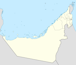
| Emirate | Ras Al Khaimah |
| Elevation | 401 m (1,318 ft) |
Wadi Asimah is a seasonal watercourse in the Hajar Mountains of Ras Al Khaimah in the United Arab Emirates. It runs broadly westward from the village of Asimah to join the Wadi Fara, its confluence forming the locus between Wadi Fara and Wadi Sidr.
Contents
A popular location for day trippers and offroading, Wadi Asimah is notable for its lush greenery and agriculture. [1] It is the site of the 'Sultan's Gardens', an area of abundant oleander, grasses, palm groves and pools that often (and unusually) harbours water year-round, as well as providing a nesting ground for heron. [2] In winter, the mountainous wadi will receive heavy rainfall, leading to flash floods, and has even seen hail on occasion. [3]
The villages of Asimah and Mawrid and the course of the Wadi Asimah were traditionally settled by members of the Mazari tribe. [4]


