
The Viceroyalty of Peru, officially known as the Kingdom of Peru, was a Spanish imperial provincial administrative district, created in 1542, that originally contained modern-day Peru and most of the Spanish Empire in South America, governed from the capital of Lima. Peru was one of the two Spanish viceroyalties in the Americas from the sixteenth to the eighteenth centuries.

Trujillo is a city in coastal northwestern Peru and the capital of the Department of La Libertad. It is the third most populous city and center of the third most populous metropolitan area of Peru. It is located on the banks of the Moche River, near its mouth at the Pacific Ocean, in the Moche Valley. This was a site of the great prehistoric Moche and Chimu cultures before the Inca conquest and subsequent expansion.

Intramuros, is the 0.67-square-kilometer (0.26 sq mi) historic walled area within the city of Manila, the capital of the Philippines. It is administered by the Intramuros Administration with the help of the city government of Manila.
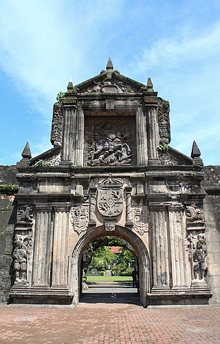
Fort Santiago, built in 1571, is a citadel built by Spanish navigator and governor Miguel López de Legazpi for the newly established city of Manila in the Philippines. The defense fortress is located in Intramuros, the walled city of Manila.

The Walls of Lima were a fortification consisting mainly of walls and bastions whose purpose was to defend the city of Lima from exterior attacks. It was built between 1684 and 1687, during the Viceroy Melchor de Navarra y Rocafull 's government.
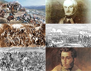
The Ecuadorian War of Independence, part of the Spanish American wars of independence of the early 19th century, was fought from 1820 to 1822 between Spain and several South American armies over control of the Royal Audience of Quito, a Spanish colonial jurisdiction which later became the modern Republic of Ecuador. The war ended with the defeat of the Spanish forces at the Battle of Pichincha on May 24, 1822, which brought about the independence of all the lands of the Real Audiencia of Quito.
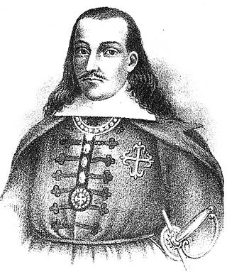
Don Melchor de Navarra y Rocafull, jure uxorisDuke of Palata, Prince of Massalubrense was a Spanish politician. From November 20, 1681 to August 15, 1689 he was viceroy of Peru.

Ciudad Colonial is the historic central neighborhood of the Dominican Republic's capital Santo Domingo. It is the oldest continuously inhabited European-established settlement in the Americas. The area has been declared a World Heritage Site by UNESCO. It is also known as Zona Colonial or more colloquially as "La Zona".

The history of Lima, the capital of Peru, began with its foundation by Francisco Pizarro on January 18, 1535. The city was established on the valley of the Rímac River in an area populated by the Ichma polity. It became the capital of the Viceroyalty of Peru and site of a Real Audiencia in 1543. In the 17th century, the city prospered as the center of an extensive trade network despite damage from earthquakes and the threat of pirates. However, prosperity came to an end in the 18th century due to an economic downturn and the Bourbon Reforms.
The Jirón de la Unión, or Union Street, is a pedestrian street located in the Historic Centre of Lima, part of the capital of Peru. For many decades it was the most important boulevards of the city, often described as the most aristocratic, where many of the most affluent citizens of the city and most powerful men around the world would meet. Subsequently, with the deterioration of the center of Lima, the Jirón de la Unión lost its aristocratic character and became completely commercialized.

Virgin of La Puerta is a Marian devotion of the Catholic Church in Peru whose image has its principal place of worship in a sanctuary built on the site where once stood the gateway to Otuzco, in a high andean area located about 75 km northeast of Trujillo city, in La Libertad region.
The Historic Centre of Trujillo is the main urban area and the most important center of development and unfolding in the Peruvian city of Trujillo located in La Libertad Region. The whole process of its original urban fabric is in elliptical shape surrounded by España Avenue that was built in the wake of the Wall of Trujillo. It houses the seat of city government and other important entities in the locality. In the center of this historic urban area is the Plaza de Armas of Trujillo that was the scene of the Spanish founded of the city in 1534 and the proclamation of the independence of Trujillo on December 29, 1820.

España Avenue is one of the main vias in the Peruvian city of Trujillo located on the north coast of Peru. This avenue was built in an elliptical shape in the footsteps of the ancient wall of Trujillo and it surrounds the Historic Centre of Trujillo. This avenue hosts shopping centers and several companies. Having elliptical shape your journey begins and ends at the same point, if the tour starts in the west, on Larco Avenue, to scroll through any of the lanes of the avenue will end the tour at the same starting point.

The Foundation of Trujillo is an example of Spanish colonial expansion that took place in the area known today as the Valley of Moche in northern Peru. The exact date of Trujillo's foundation is still in dispute; according to historian Napoleón Cieza Burga it is November 1534.
Mallplaza Trujillo is a shopping mall in Trujillo city, Peru. It was opened on November 30, 2007. It is Located in Mansiche avenue near the old locality of San Salvador de Mansiche at northwest the Historic Centre of Trujillo. This mall is the largest in the city and one of the largest in the country. In this shopping center in November 2012 was held the second Gastronomic Fair in Trujillo called Sabe a Peru.

The Plazuela El Recreo is a traditional square located in the Peruvian city of Trujillo in La Libertad Region in northern Peru. Situated at the 8th block of the Pizarro street in the Historic Centre of Trujillo in this square are held cultural shows and in March 2012 was the scenery of Trujillo Book Festival. The square has high ficus around. This square has been declared Monumental Heritage of the Nation by the National Institute of Culture of Peru.
Paseo Pizarro is pedestrian walk located on the main street of Trujillo city, in Peru. Pizarro street in blocks 5,6,7 and 8 becomes exclusively a pedestrian and joins the Plaza de Armas with the Plazuela El Recreo, along its four blocks are numerous landmarks like the Palace Iturregui, the Emancipation House, etc. and businesses such as supermarkets, souvenir shops, cafes and bars, etc.

The fortifications of Mdina are a series of defensive walls which surround the former capital city of Mdina, Malta. The city was founded as Maleth by the Phoenicians in around the 8th century BC, and it later became part of the Roman Empire under the name Melite. The ancient city was surrounded by walls, but very few remains of these have survived.

The City Wall of San Juan is a city wall that surrounds the western end of the Islet of San Juan, site of the historic Old San Juan district in San Juan, Puerto Rico. This defensive wall system was built between the 16th and 20th centuries to protect the city and the Bay of San Juan, a highly strategic point in the Caribbean. These walls, along with the defensive fortresses in Old San Juan, form part of the UNESCO World Heritage Site-designated San Juan National Historic Site as they are characteristic examples of the historic methods of construction used in military architecture which adapted European designs and techniques to the special conditions of the Caribbean port cities.

The bastioned system of the Spanish city of Badajoz consists of a military fortification formed by a set of defensive walls, city gates, bridges, forts, towers, bastions, hornworks, moats, tunnels and ravelins, among other defensive elements, built between the 17th and 18th centuries, following the defensive construction theories popularized by the French military engineer Sébastien Le Prestre, better known as the Marquis de Vauban, as an extension of a previous defensive enclosure that protected this border town.

