
Avon was a non-metropolitan and ceremonial county in the west of England that existed between 1974 and 1996. The county was named after the River Avon, which flows through the area. It was formed from the county boroughs of Bristol and Bath, together with parts of the administrative counties of Gloucestershire and Somerset.

North Somerset is a unitary authority in the ceremonial county of Somerset, England. The council is based in Weston-super-Mare, the area's largest town. The district also contains the towns of Clevedon, Nailsea and Portishead, along with a number of villages and surrounding rural areas. Some southern parts of the district fall within the Mendip Hills, a designated Area of Outstanding Natural Beauty.

Northavon was a district in the English county of Avon from 1974 to 1996.

Kingswood was, from 1974 to 1996, a non-metropolitan district of the county of Avon, England.

Bathampton is a village and civil parish 2 miles (3 km) east of Bath, England on the south bank of the River Avon. The parish has a population of 1,603.

North East Somerset was a constituency represented in the House of Commons of the UK Parliament from 2010 to 2024. For the whole of its existence its Member of Parliament (MP) was Jacob Rees-Mogg of the Conservative Party.
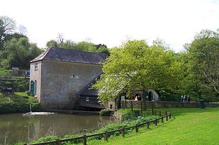
Kelston is a small village and civil parish in Somerset, 4 miles (6.4 km) north west of Bath, and 8 miles (12.9 km) east of Bristol, on the A431 road. It is situated just north of the River Avon, close to the Kelston and Saltford locks. The parish has a population of 248.
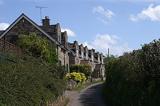
Claverton is a small village and civil parish about 2 miles (3 km) east of Bath at the southern end of the Cotswolds Area of Outstanding Natural Beauty, in Somerset, England. The parish has a population of 115.
West Harptree is a small village and civil parish in the Chew Valley, Somerset within the unitary district of Bath and North East Somerset. The parish has a population of 439.

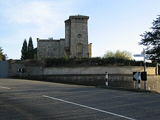
Bath and North East Somerset Council is the local authority for Bath and North East Somerset, a local government district in the ceremonial county of Somerset, England. The council is a unitary authority, being a district council which also performs the functions of a county council. Since 2017 the council has been a member of the West of England Combined Authority.
Compton Dando is a small village and civil parish on the River Chew in the affluent Chew Valley in England. It is in the Bath and North East Somerset council area and ceremonial county of Somerset, and lies 7 miles (11.3 km) from Bristol, 8 miles (12.9 km) from Bath, and 3 miles (4.8 km) from Keynsham.

Publow is a small village and civil parish in Bath and North East Somerset, England. It lies beside the River Chew in the Chew Valley. It is 7 miles from Bristol, 9 miles from Bath, and 4 miles from Keynsham. The principal settlement in the parish is Pensford. The parish also includes the village of Belluton and part of the village of Woollard. At the 2011 census it had a population of 1,119.
Stowey-Sutton is a civil parish in the Bath and North East Somerset District of Somerset, England within the Chew Valley. The parish contains the villages of Stowey and Bishop Sutton having a population of 1,361.

South Stoke or Southstoke is a small village and civil parish in north east Somerset, England. It is 2 miles (3 km) south of the city of Bath, on the River Avon and the route of the disused Somerset Coal Canal.

Dunkerton is a small village in the civil parish of Dunkerton and Tunley, 4 miles (6.4 km) north east of Radstock, and 5 miles (8.0 km) south west of Bath, in the Bath and North East Somerset unitary authority, Somerset, England. The parish has a population of 502.

Shoscombe is a small village and civil parish in the valley of the Wellow Brook in north-east Somerset, about 7 miles (11 km) south of Bath, England. The parish has a population of 443.

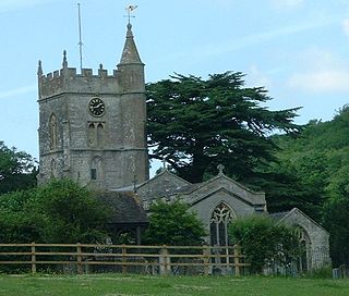
Corston is a small village and civil parish close to the River Avon and situated on the A39 road in the Bath and North East Somerset unitary authority, Somerset, England. The parish has a population of 494.

North Stoke is a village within the civil parish of Kelston in the Bath and North East Somerset (BANES) unitary authority within the historic county of Somerset, England, and close to the border with South Gloucestershire. The parish has a population of 72.
Clutton was a rural district in Somerset, England, from 1894 to 1974.

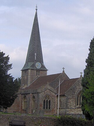
Bath City Council was a non-metropolitan district in Avon, England, that administered the city of Bath, Somerset, from 1974 until 1996. The district council replaced the pre-1974 county borough council.
