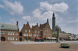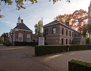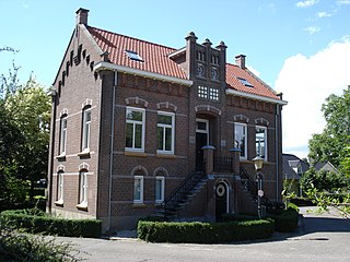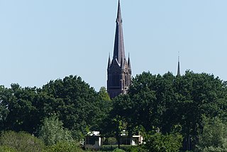
Waalwijk is a municipality and a city in the southern Netherlands. It had a population of 48,815 in 2021 and is located near the A59 and N261 motorways. The villages of Capelle, Vrijhoeve-Capelle, Sprang and Waspik together with the city of Waalwijk form the municipality of Waalwijk. The city has an old town center, which has recently been modernized.

Kortenhoef is a village in North Holland, Netherlands with a population of about 6,780. It is an important part of the municipality of Wijdemeren, and lies about 5 km northwest of Hilversum. Kortenhoef was a separate municipality until 1966, when it was merged with 's-Graveland retaining the latter name; it merged with Loosdrecht and Nederhorst den Berg to form the new municipality of Wijdemeren in 2002.

Haamstede is a village in the Dutch province of Zeeland. It is a part of the municipality of Schouwen-Duiveland. The village is known for Haamstede Castle.

Renesse is a village in the Dutch province of Zeeland. It is a part of the municipality of Schouwen-Duiveland, and lies about 28 km west of Hellevoetsluis.

Havelte is a village in the Northeastern Netherlands. It is located in the municipality of Westerveld, Drenthe, about 60 km (37.2 mi) south-southwest of Groningen and 120 km (74.5 mi) northeast of Amsterdam. As of 1 January 2021, it had a population of 3,825.

Dussen is a village in the Dutch province of North Brabant. It is a part of the municipality of Altena, and is located about 12 km south of Gorinchem. Dussen Castle is located near the village.

Helvoirt is a village and part of the municipality of Vught, Netherlands.

Stedum is a village in the Dutch province of Groningen. It is located in the municipality of Eemsdelta, about 15 km (9 mi) northeast of the city of Groningen.

Capelle is a village in the Dutch province of North Brabant. It is located about 6 km west of Waalwijk.

's Gravenmoer is a village in the Dutch province of North Brabant. It is located in the municipality of Dongen, about 3 km north of the town of Dongen. The village has a population of about 2190 inhabitants, including the farmlands to the north of the village.

Halsteren is a town in the Dutch province of North Brabant. It is located in the municipality of Bergen op Zoom, about 1 km north of that city. Halsteren has an old church from the 14th century and a new church, built in 1919. A little village called Polder was located between Halsteren and Tholen in the Middle Ages.

Lithoijen is a village in the Dutch province of North Brabant. It is located in the municipality of Oss, about 5 km northwest of the city of Oss.

Made is a town in the Dutch province of North Brabant. It is located in the municipality of Drimmelen, about 10 km northeast of Breda.

Meeuwen is a village in southern Netherlands. It is located in Altena, North Brabant, about 8 km northwest of Waalwijk.

Nieuw-Vossemeer is a village in the Dutch province of North Brabant. It is located in the municipality of Steenbergen, about 10 km northeast of Bergen op Zoom.

Nistelrode is a village in the Dutch province of North Brabant. It is located in the municipality of Bernheze, about 8 km south of Oss.

Sprang is a village in the Dutch province of North Brabant. It is located in the municipality of Waalwijk, about 12 km north of Tilburg.

Standdaarbuiten is a village in the Dutch province of North Brabant located in the municipality of Moerdijk, about 9 km northeast of Roosendaal.

Vrijhoeve-Capelle is a village in the Dutch province of North Brabant. It is located in the municipality of Waalwijk, about 10 km north of Tilburg.

Ulvenhout is a village in the Dutch province of North Brabant. It is located in the municipality of Breda. The village was divided by the A58 motorway. The southern part belongs to the municipality of Alphen-Chaam and is called Ulvenhout AC.


