
Hoy is an island in Orkney, Scotland, measuring 143 square kilometres (55 sq mi) – the second largest in the archipelago, after Mainland. A natural causeway, the Ayre, links the island to the smaller South Walls; the two islands are treated as one entity by the UK census.

The Mainland, also known as Hrossey and Pomona, is the main island of Orkney, Scotland. Both of Orkney's burghs, Kirkwall and Stromness, lie on the island, which is also the heart of Orkney's ferry and air connections.

Sanday is one of the inhabited islands of Orkney that lies off the north coast of mainland Scotland. With an area of 50.43 km2 (19.5 sq mi), it is the third largest of the Orkney Islands. The main centres of population are Lady Village and Kettletoft. Sanday can be reached by Orkney Ferries or by plane from Kirkwall on the Orkney Mainland. On Sanday, an on-demand public minibus service allows connecting to the ferry.
South Ronaldsay is one of the Orkney Islands off the north coast of Scotland. It is linked to the Orkney Mainland by the Churchill Barriers, running via Burray, Glimps Holm and Lamb Holm.

Graemsay is an island in the western approaches to Scapa Flow, in the Orkney Islands of Scotland. The island has two lighthouses. Graemsay lies within the parish of Stromness.

Finstown is a village in the parish of Firth on Mainland, Orkney, Scotland. It is the fourth-largest settlement in the Orkney Islands.

Glimps Holm or Glims Holm is a small uninhabited islet in Orkney, Scotland.

The Burn of Ayreland is a northwesterly flowing coastal stream on Mainland Orkney, Scotland, that discharges to the Clestrain Sound about two miles south of Stenness. Draining chiefly agricultural lands elevated mosses and moorland. This stream has a notable lack of turbidity and a pH level of approximately 8. Armouring of the stream bottom consists of pebbles, cobbles and occasional boulders.
Stines Moss is an elevated bog in the southwest upland area of the Orkney Mainland, Scotland.
Clestrain Sound is a strait between Mainland Orkney and the Isle of Graemsay within the Orkney Islands, Scotland.

Mor Stein is a neolithic standing stone in the southeastern part of the island of Shapinsay, Orkney Islands, Scotland. Shapinsay is one of the two large inner islands of the Orkney group, and it is situated approximately two miles north of the Orkney Mainland. Linton Bay is situated slightly to the northeast of Mor Stein.

Thieves Holm is a small island in Orkney, Scotland.
St Peter's Pool is a bay in the East Mainland of Orkney, Scotland. This bay was the site of significant coastal defences during World War II, when a German invasion was anticipated.
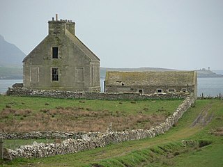
The Mill of Ayreland is an historic watermill driven by water force of the Burn of Ayreland, a northwesterly flowing coastal stream within Mainland Orkney, Scotland, that empties into the Clestrain Sound approximately five kilometres southerly of Stenness.

The A961 is a single-carriageway road on the eastern side of Scapa Flow in the Orkney Islands, connecting the town of Kirkwall on the Orkney Mainland to Burwick at the southern end of South Ronaldsay.
Aikerness Bay is an embayment of Eynhallow Sound on the northwest coast of Mainland Orkney, Scotland. The headlands of Point of Hellia at the east and Grit Ness at the west form the limit points of Aikerness Bay. The beach along the southern boundary of Aikerness Bay is known as the Sands of Evie. At the eastern end of Aikerness Bay is Gurness, an Iron Age broch.
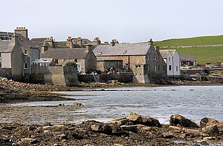
Orphir is a parish and settlement on Mainland, Orkney, Scotland.

Hoy Sound is a body of salt water subject to tidal currents situated south of the town of Stromness in the Orkney archipelago of Scotland.
