Welsum, Olst-Wijhe

Last updated
Welsum
2352 Welsum.JPG
Houdt Braef Stant – the mill in Welsum, built in 1856
2010-NL-P04-Overijssel-positiekaart-gemnamen.jpg
Red pog.svg
Welsum
Location in the province of Overijssel in the Netherlands
Netherlands location map.svg
Red pog.svg
Welsum
Welsum (Netherlands)
Coordinates: 52°20′09″N6°05′28″E / 52.33583°N 6.09111°E / 52.33583; 6.09111 Coordinates: 52°20′09″N6°05′28″E / 52.33583°N 6.09111°E / 52.33583; 6.09111
Country Netherlands
Province Overijssel
Municipality Olst-Wijhe
Area
[1]
  Total8.89 km2 (3.43 sq mi)
Elevation
[2]
5 m (16 ft)
Population
 (2021) [1]
  Total625
  Density70/km2 (180/sq mi)
Time zone UTC+1 (CET)
  Summer (DST) UTC+2 (CEST)
Postal code
8196 [1]
Dialing code 0570

Welsum is a village on the left bank of the river IJssel in the present municipality of Olst-Wijhe in the Dutch province of Overijssel.

Contents

The village is the source of the Welsummer chicken breed. In 2001, a number of farms culled their flocks in connection with the outbreak of foot-and-mouth disease.

The earliest existing written mention of the village (as Wilsum, kerspel Olst) dates from 1295. [3] The tower of the Protestant church was built around 1475. The village's flour mill, Houdt Braef Stant, dates to 1856, with restorations in 1963 (using internal parts from the mill Wippe in Hellendoorn) and 1986. It is currently being used as a dwelling.

Related Research Articles

<span class="mw-page-title-main">Olst-Wijhe</span> Municipality in Overijssel, Netherlands

Olst-Wijhe is a municipality in the province of Overijssel, eastern Netherlands. It borders the Overijssel municipalities of Zwolle to the north, Raalte to the north and east and Deventer to the south; and the Gelderland municipalities of Voorst, Epe and Heerde to the west.

<span class="mw-page-title-main">Cothen</span> Village in Utrecht, Netherlands

Cothen is a village in the Dutch province of Utrecht. It is a part of the municipality of Wijk bij Duurstede, and lies about 10 km (6 mi) southeast of Houten.

<span class="mw-page-title-main">Wijhe</span> Town in Overijssel, Netherlands

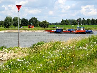
Wijhe is a village in the Dutch province of Overijssel. It is located in the municipality of Olst-Wijhe and is situated about 12 km south of Zwolle on the banks of the river IJssel.

<span class="mw-page-title-main">Olst</span> Town in Overijssel, Netherlands

Olst is a town in the Dutch province of Overijssel, about 8 km north of Deventer. It is located in the municipality of Olst-Wijhe.

<span class="mw-page-title-main">'s-Heer Arendskerke</span> Village in Zeeland, Netherlands

's-Heer Arendskerke is a village in the municipality of Goes in the south-western Netherlands.

<span class="mw-page-title-main">Afferden, Limburg</span> Village in Limburg, Netherlands

Afferden is a village in the Dutch province of Limburg. It is a part of the municipality of Bergen (L.), and lies about 25 km southeast of Nijmegen.

<span class="mw-page-title-main">Boskamp, Overijssel</span> Village in Overijssel, Netherlands

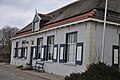
Boskamp is a village in the Dutch province of Overijssel. It is east of Olst in the municipality of Olst-Wijhe.

<span class="mw-page-title-main">Wânswert</span> Village in Friesland, Netherlands

Wânswert is a village in Noardeast-Fryslân in the province of Friesland, the Netherlands. It had a population of approximately 193 in January 2017. Before 2019, the village was part of the Ferwerderadiel municipality.

<span class="mw-page-title-main">Jislum</span> Village in Friesland, Netherlands

Jislum is a village in Noardeast-Fryslân in the province of Friesland, the Netherlands. It had a population of around 65 in January 2017. Before 2019, the village was part of the Ferwerderadiel municipality.

<span class="mw-page-title-main">Raard</span> Village in Friesland, Netherlands

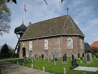
Raard is a village in Noardeast-Fryslân in the province of Friesland, the Netherlands. It had a population of around 223 in January 2017. Before 2019, the village was part of the Dongeradeel municipality.

<span class="mw-page-title-main">Iens</span> Village in Friesland, Netherlands

Iens is a small village in Súdwest-Fryslân in the province Friesland of the Netherlands with a population of around 32 in January 2017.

<span class="mw-page-title-main">Goingarijp</span> Village in Friesland, Netherlands

Goingarijp is a small village in De Fryske Marren municipality in the province of Friesland, the Netherlands. It had a population of around 250 in 2017.

<span class="mw-page-title-main">Doniaga</span> Village in Friesland, Netherlands

Doniaga is a small village in De Fryske Marren municipality in the province Friesland of the Netherlands and has around 100 citizens (2017).

<span class="mw-page-title-main">Schraard</span> Village in Friesland, Netherlands

Schraard is a village in Súdwest-Fryslân in the province of Friesland, the Netherlands. It had a population of around 165 in January 2017.

<span class="mw-page-title-main">Lollum</span> Village in Friesland, Netherlands

Lollum is a village in Súdwest-Fryslân in the province of Friesland, the Netherlands. It had a population of around 360 in January 2017.

<span class="mw-page-title-main">Ferwoude</span> Village in Friesland, Netherlands

Ferwoude is a village in Súdwest-Fryslân municipality in the province of Friesland, the Netherlands. It had a population of around 235 in January 2017.

<span class="mw-page-title-main">Cornwerd</span> Village in Friesland, Netherlands

Cornwerd is a small village in Súdwest-Fryslân municipality in the province of Friesland, the Netherlands. It had a population of around 85 in January 2017.

<span class="mw-page-title-main">Nijland</span> Village in Friesland, Netherlands

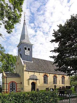
Nijland is a village in Súdwest-Fryslân municipality in the province of Friesland, the Netherlands. It had a population of around 1,000 in January 2017.

<span class="mw-page-title-main">Sint Hubert</span> Village in North Brabant, Netherlands

Sint Hubert is a village in the Dutch province of North Brabant, in the former municipality of Mill en Sint Hubert. Since 2022 it has been part of the municipality of Land van Cuijk.

<span class="mw-page-title-main">Den Andel</span> Village in Groningen, Netherlands

Den Andel is a village in the municipality Het Hogeland which is part of the province Groningen in the Netherlands. It is located about 20 kilometres (12 mi) north of the city of Groningen near the Wadden Sea coast.

References

  1. 1 2 3 "Kerncijfers wijken en buurten 2021". Central Bureau of Statistics. Retrieved 13 April 2022.
  2. "Postcodetool for 8196KA". Actueel Hoogtebestand Nederland (in Dutch). Het Waterschapshuis. Retrieved 13 April 2022.
  3. (in Dutch) Welsum: Historie, Retrieved April 20, 2012.