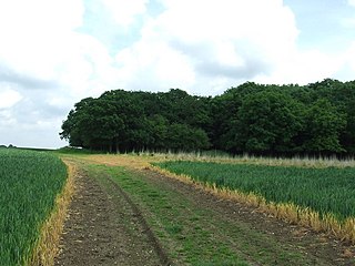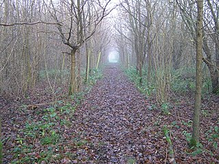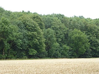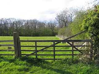
Edwardstone Woods is a 27 hectare biological Site of Special Scientific Interest near Edwardstone in Suffolk, England. It is in four areas, Park Wood with the adjacent High Wood, Cowper's Wood, Stallington Wood and Priory Down.

Bradfield Woods is an 81.4-hectare (201-acre) biological Site of Special Scientific Interest between Bury St Edmunds and Stowmarket in Suffolk. The site is in three separate blocks, the adjoining Felsham Hall and Monkspark Woods, and the much smaller separate Hedge Wood and Chensil Grove. Felsham Hall and Monkspark Woods are designated a 63.3 National Nature Reserve, also called Bradfield Woods, and are managed by the Suffolk Wildlife Trust.

Foxley Wood is a nature reserve in Foxley, Norfolk, England, the largest ancient woodland and coppice in Norfolk. The Norfolk Wildlife Trust, which manages this reserve, bought it in 1998. It is 123 hectares in size. It is a Site of Special Scientific Interest, a Nature Conservation Review site, Grade 2, and a National Nature Reserve.

Honeypot Wood is a 9.5-hectare (23-acre) biological Site of Special Scientific Interest west of Dereham in Norfolk. It is managed by the Norfolk Wildlife Trust

Cavendish Woods is a 53.5-hectare (132-acre) biological Site of Special Scientific Interest north-west of Glemsford in Suffolk.

Fakenham Wood and Sapiston Great Grove is a 200.7-hectare (496-acre) biological Site of Special Scientific Interest north of Sapiston in Suffolk.

Kentwell Woods is a 77.6-hectare (192-acre) biological Site of Special Scientific Interest in fifteen woods in fourteen separate blocks east and north-east of Glemsford in Suffolk.

Middle Wood, Offton is a 23.3-hectare (58-acre) biological Site of Special Scientific Interest north-west of Offton in Suffolk.

Over and Lawn Woods is a 43.3-hectare (107-acre) biological Site of Special Scientific Interest north-west of Haverhill in Suffolk. It is listed by Natural England as a Suffolk site but most of Over Wood is in Cambridgeshire.

Stanton Woods is a 66.1-hectare (163-acre) biological Site of Special Scientific Interest south of Stanton in Suffolk.

Titsal Wood, Shadingfield is a 14.7-hectare (36-acre) biological Site of Special Scientific Interest south-west of Shadingfield in Suffolk.

Trundley and Wadgell's Wood, Great Thurlow is a 79.4-hectare (196-acre) biological Site of Special Scientific Interest east of Great Thurlow in Suffolk.

Bangrove Wood is an 18.6-hectare (46-acre) biological Site of Special Scientific Interest north of Ixworth in Suffolk, England.

Hay Wood, Whepstead is a 10.4-hectare (26-acre) biological Site of Special Scientific Interest west of Whepstead in Suffolk.

Norton Wood is a 24.8-hectare (61-acre) biological Site of Special Scientific Interest south-east of Norton in Suffolk, England.

Thorpe Morieux Woods is a 45.2-hectare (112-acre) biological Site of Special Scientific Interest north of Thorpe Morieux in Suffolk. Part of it is Bull's Wood, a nature reserve managed by the Suffolk Wildlife Trust.

Prior's Coppice is a 27.4-hectare (68-acre) biological Site of Special Scientific Interest south of Oakham in Rutland. It is managed by the Leicestershire and Rutland Wildlife Trust.

Horse Wood, Mileham is a 7.1-hectare (18-acre) biological Site of Special Scientific Interest north-west of Dereham in Norfolk.

Horningtoft Wood is a 8.3-hectare (21-acre) biological Site of Special Scientific Interest south of Fakenham in Norfolk.


