Related Research Articles
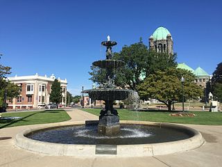
Taunton is a city and county seat of Bristol County, Massachusetts, United States. Taunton is situated on the Taunton River, which winds its way through the city on its way to Mount Hope Bay, 10 miles (16 km) to the south. At the 2020 census, the city had a population of 59,408. Shaunna O'Connell is the mayor of Taunton.
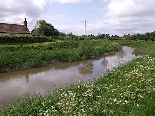
The River Tone is a river in the English county of Somerset. The river is about 33 kilometres (21 mi) long. Its source is at Beverton Pond near Huish Champflower in the Brendon Hills, and is dammed at Clatworthy Reservoir. The reservoir outfall continues through Taunton and Curry and Hay Moors, which are designated as a Site of Special Scientific Interest. Finally, it flows into the River Parrett at Burrowbridge.

Glacial Lake Wisconsin was a prehistoric proglacial lake that existed from approximately 18,000 to 14,000 years ago, at the end of the last ice age, in the central part of present-day Wisconsin in the United States.

The Huron River is a 130-mile-long (210 km) river in southeastern Michigan, rising out of the Huron Swamp in Springfield Township in northern Oakland County and flowing into Lake Erie, as it forms the boundary between present-day Wayne and Monroe counties. Thirteen parks, game areas, and recreation areas are associated with the river, which passes through the cities of Dexter, Ann Arbor, Ypsilanti, Belleville, Flat Rock and Rockwood that were developed along its banks.

The Assonet River is located in Bristol County, Massachusetts. It flows 7.4 miles (11.9 km) in a westerly direction through Freetown and joins the Taunton River near Assonet Neck in Berkley, Massachusetts.
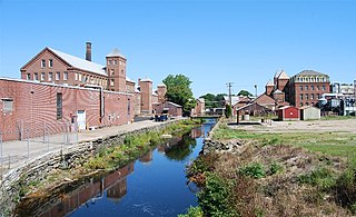
The Mill River is a tributary of the Taunton River that flows 4.0 miles (6.2 km) from Lake Sabbatia, through the center of Taunton, Massachusetts, to the Taunton River.

Lake Sabbatia, sometimes known as Scaddings Pond is a 248-acre (100 ha) great pond in Taunton, Massachusetts, near Watson Pond State Park. The lake is where Mill River begins and the Snake River ends. It is the largest lake in the city of Taunton and the most popularly used. There are several coves and an island within the lake. Parts of its coastline are populated with woods, streets, and residential homes. Lake Sabbatia is used for a variety of recreational activities such as boating, swimming, fishing, and ice fishing. There is a boat ramp off Bay Street into the lake.
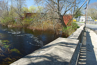
The Nemasket or Namasket River is a small river in southeastern Massachusetts. It flows north 11.2 miles (18.0 km) from Assawompset Pond in Lakeville and through Middleborough where it empties into the Taunton River. The Nemasket's sole tributary is Fall Brook, which drains out from Tispaquin Pond.
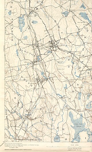
The Satucket River is 5.5-mile-long (8.9 km) river in southeastern Massachusetts within the Taunton River Watershed. It flows generally west from Robbins Pond in East Bridgewater, and into the Matfield River.

The Mill River is a 13.5-mile-long (21.7 km) tributary of the Connecticut River arising in the western hilltowns of Hampshire County, Massachusetts. It is notable for dropping in elevation, along with its West Branch, more than 700 feet (210 m) over 15 miles (24 km).
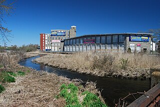
The Quequechan River is a river in Fall River, Massachusetts, that flows in a northwesterly direction from the northwest corner of the South Watuppa Pond through the heart of the city of Fall River and into the end of the Taunton River at Mount Hope Bay at Heritage State Park/Battleship Cove. The word Quequechan means "Falling River" or "Leaping/Falling Waters" in Wampanoag, hence the city's name.

The Quaboag River is a 25.7-mile-long (41.4 km) river in Massachusetts that heads at Quaboag Pond in Brookfield at an elevation of 594 feet (181 m) above sea level. It flows west to the village of Three Rivers, Massachusetts, at an elevation of 290 feet (88 m).
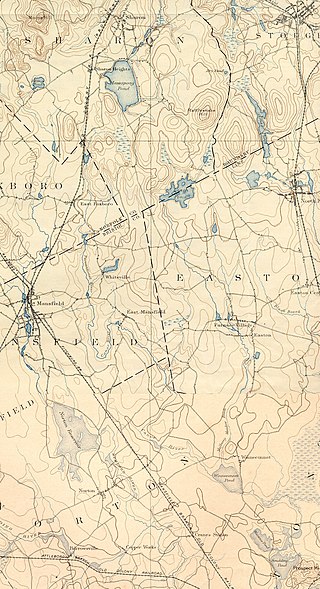
The Canoe River is a river in southeastern Massachusetts. It is 14.4 miles (23.2 km) long and part of the Taunton River Watershed.

The Paskamanset River, also known as the Paskamansett River, is a 13.4-mile-long (21.6 km) river in New Bedford and Dartmouth, Massachusetts. The Paskamanset and Slocums River really form just a single river, but the freshwater portion kept its earlier Native American name, while the salt-water portion is named for early English settlers, the Slocum family.

The Muddy River is a series of brooks and ponds that runs through sections of Boston's Emerald Necklace, including along the south boundary of Brookline, Massachusetts. The river, which is narrower than most waterways designated as rivers in the United States, is a protected public recreation area surrounded by parks and hiking trails, managed by the Massachusetts Department of Conservation and Recreation.

The Whittenton Mills Complex is a historic textile mill site located on Whittenton Street in Taunton, Massachusetts, on the banks of the Mill River. The site has been used for industrial purposes since 1670, when James Leonard built an iron forge on the west bank of the river. The first textile mill was built in 1805 and expanded throughout the 19th century. The complex was added to the National Register of Historic Places in 1984, and now contains various small businesses.

North Taunton is an unofficial neighborhood in the city of Taunton, Massachusetts, United States. It is not a census-designated area, but is considered by local residents as a municipally designated populated region of the city.

The Pachaug River is a 16.0-mile-long (25.7 km) river arising from the Pachaug State Forest at the Connecticut - Rhode Island border and draining into the Quinebaug River. It is crossed by the Ashland Mill Bridge in Griswold, Connecticut, a bridge which is listed on the U.S. National Register of Historic Places.

The Taunton Iron Works was located on the banks of the Forge River in what is now Raynham, Massachusetts. It was the first iron works established in Plymouth Colony, and only the third in New England. Much more successful than earlier works at Saugus, and Braintree, it operated for a remarkable period of two hundred and twenty years, from 1656 to 1876.
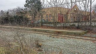
Taunton station was a passenger rail station located south of Oak Street in downtown Taunton, Massachusetts. As Taunton Central station, it served local and Boston-focused routes from 1836 to 1964. A later station at the same site served Amtrak's Cape Codder from 1986 to 1996, and Cape Cod and Hyannis Railroad commuter trains in 1988.
References
- ↑ "CBS News | Taunton Residents Return | October 21, 2005 19:48:10". www.cbsnews.com. Archived from the original on 2006-02-12.
- ↑ Massachusetts Riverways Study 2008 Report