Related Research Articles

The Hornchurch Stadium is an athletics and football stadium located on Bridge Avenue in Upminster in the London Borough of Havering, East London, England. It is home to the Hornchurch F.C. and Havering Mayesbrook Athletics Club.

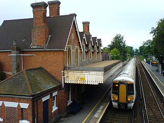
West Malling railway station lies to the east of West Malling, Kent, England, and is close to Kings Hill, Larkfield and Leybourne. It is 34 miles 61 chains (55.9 km) down the line from London Victoria.

Borough Green & Wrotham railway station is located in Borough Green in Kent, England. It is 29 miles 46 chains (47.6 km) down the line from London Victoria. Train services are provided by Southeastern.

Maidstone West railway station is one of three railway stations which serve the town of Maidstone, in Kent, England. It is on the Medway Valley Line, 42 miles 36 chains (68.3 km) from London Charing Cross via Strood and situated between Maidstone Barracks and East Farleigh. The station and all trains serving it are operated by Southeastern.

Maidstone Barracks railway station is one of three railway stations which serve the town of Maidstone in Kent, England. Originally opened as Barracks station, it is named after the nearby Invicta Park Barracks and lies on the Medway Valley Line, 42 miles (68 km) from London Charing Cross via Strood between Aylesford and Maidstone West. The station and all trains serving it are operated by Southeastern.

East Farleigh railway station is on the Medway Valley Line in Kent, England, located to the south-west of Maidstone and close to the village of East Farleigh, on the opposite (south) bank of the River Medway, though the station is actually located in Barming parish. It is 42 miles 75 chains (69.1 km) down the line from London Charing Cross via Paddock Wood. The station and all trains that serve the station are operated by Southeastern.

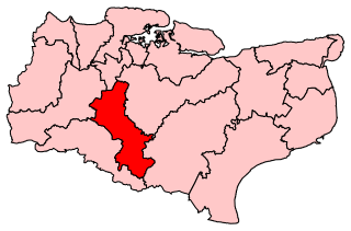
Maidstone and The Weald was a constituency in Kent represented in the House of Commons of the UK Parliament. From the 2010 general election it was represented by Helen Grant of the Conservative Party. She succeeded fellow party member Ann Widdecombe, who had held the seat since it was created for the 1997 general election.

The A26 road is a primary route in the southeast of England, going from Maidstone to Newhaven through the counties of Kent and East Sussex. The road is almost entirely single carriageway with one lane on each side, although parts of the road are three lanes, with the middle lane switching sides for overtaking and right turns.

The Kent Downs line is a railway line between Otford and Ashford International in Kent, England. It adopted its current name in 2020, by the Kent Rail Partnership.
Marley is a hamlet in the civil parish of Harrietsham that, in turn, forms part of the district of Maidstone in the English county of Kent.

Teston Crossing Halt was situated on what is now the Medway Valley Line, south of Maidstone, in Kent, and served Teston and West Farleigh. It opened on 1 September 1909 and closed on 2 November 1959.
Park Wood is a suburb of Maidstone, Kent.

The Loose Stream sometimes called the River Loose or Langley Stream is a tributary of the River Medway notable for the number of watermills that it powered in its short length. It rises in Langley, flows through Boughton Monchelsea, Loose and enters the Medway at Tovil. The river valley is deep sided, and there is much evidence of the paper and wool trades which once flourished here: the stream has been dammed in many places, resulting in many mill ponds.

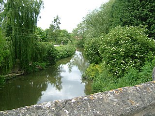
The River Len is a river in Kent, England. It rises at a spring in Bluebell Woods to the southeast of the village centre of Lenham 0.6 miles (0.97 km) from the source of the River Great Stour; both rise on the Greensand Ridge. Its length is c10 miles (16 km). It enters the River Medway at Maidstone.

The Wateringbury stream is a tributary of the River Medway in Kent, England. It rises at Swanton, West Peckham parish, flows south east towards Mereworth and then flows in a generally easterly direction to join the River Medway at Wateringbury. It is some four miles (6 km) long and powered a number of watermills.

The River Beult is a tributary of the River Medway in South East England.
Dębniak is a village in the administrative district of Gmina Ujazd, within Tomaszów Mazowiecki County, Łódź Voivodeship, in central Poland. It lies approximately 5 kilometres (3 mi) south of Ujazd, 8 km (5 mi) north-west of Tomaszów Mazowiecki, and 41 km (25 mi) south-east of the regional capital Łódź.
Tovil station is a closed railway station on the Medway Valley Line. The station opened in 1884 and closed in 1943.
Hahneberg is a hill in Hesse, Germany.
Reyeroord is a neighborhood of Rotterdam, Netherlands. Constructed in the post-war period, it is located in Rotterdam west of A16, north of A15, east of Hordijkerveld. It is part of the IJsselmonde burrough. It has been the site of urban innovation and development. It shares the public park Oeverloos with Hordijkerveld.
References
- The geographic coordinates are from the Ordnance Survey.