The Nikolaiviertel is an old quarter of the German capital of Berlin, founded c. 1200. Together with nearby Cölln, they jointly make up Alt-Berlin, the reconstructed historical heart of the city. Located in the Mitte locality, it is five minutes away from Alexanderplatz.

Weberwiese is a Berlin U-Bahn station located on the U5 line, which currently runs from Berlin Central Station to Hönow. The station is located under Karl-Marx-Allee directly east of Straße der Pariser Kommune. Although the next station on the line is called Frankfurter Tor, the historical city gate Frankfurter Tor actually stood at the location of the Weberwiese station. Several of the stations on this line have been recently redeveloped and are now colour-coded. In 2003, Weberwiese station was renovated and now has a very different appearance, with yellow tiles in contrast to its former white ones.

Wandlitz is a municipality in the district of Barnim, in Brandenburg, Germany. It is situated 25 km north of Berlin, and 15 km east of Oranienburg. The municipality was established in 2004 by merger of the nine villages Basdorf, Klosterfelde, Lanke, Prenden, Schönerlinde, Schönwalde, Stolzenhagen, Wandlitz and Zerpenschleuse.

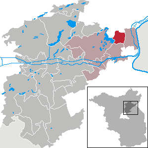
Panketal is a municipality in the district of Barnim, in Brandenburg, Germany. It is situated 15 km northeast of Berlin (centre).
The Greater Berlin Act, officially Law Regarding the Creation of the New Municipality of Berlin, was a law passed by the Prussian state government in 1920, which greatly expanded the size of the Prussian and German capital of Berlin.

Jablunkov Pass is a mountain pass in the Western Beskids at 553 metres (1,814 ft) above sea level. It is located in the municipality of Mosty u Jablunkova in the Czech Republic, near the border with Poland and Slovakia.
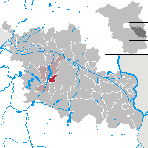
Parsteinsee is a municipality in the district of Barnim in Brandenburg in Germany.

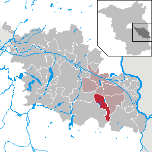
Sydower Fließ is a municipality in the district of Barnim in Brandenburg in Germany.

Oderaue is a municipality in the Oderbruch, district Märkisch-Oderland, in Brandenburg, Germany.
Diensdorf-Radlow is a municipality in the Oder-Spree district, in Brandenburg, Germany.
Grunow-Dammendorf is a municipality in the Oder-Spree district, in Brandenburg, Germany.

Ragow-Merz is a municipality in the Oder-Spree district, in Brandenburg, Germany.

Schlaubetal is a municipality in the Oder-Spree district, in Brandenburg, Germany.

Barnim Nature Park is a nature park and reserve in the state of Brandenburg, and partly in Berlin, Germany. It covers an area of 750 km2. It was established on September 24, 1998.

The Berlin/Brandenburg metropolitan region or capital region is one of eleven metropolitan regions of Germany, consisting of the entire territories of the state of Berlin and the surrounding state of Brandenburg. The region covers an area of 30,545 square kilometres (11,793 sq mi) with a total population of about 6.2 million.
Basdorf is a village to the north of Berlin, in the German federal state of Brandenburg. Until 2003, when it merged into Wandlitz, it was an autonomous municipality.

Molkenmarkt is the oldest square in Berlin. It is located in the Alt-Berlin quarter of the Mitte district, in the historic centre of the city. With approximately 9,200 square metres (11,000 sq yd) in size, it is today a major traffic junction, dominated by the large Altes Stadthaus administrative building on its southeastern side.

The Barnim Panorama, owned by the municipality Wandlitz, was created in September 2013 by combining the Agrarmuseum Wandlitz and the visitor center of the Barnim Nature Park. It has the largest agricultural collection in Brandenburg and offers six themed rooms to give visitors an insight into the 200-year-old history of agriculture in Brandenburg. The museum in the quarter Wandlitz was built in 1955 and could only use provisional arrangements until 2013. Because of the growing demand for more exhibition space and better opportunities to present its collection, the quarter decided to construct a new building across the street from the original museum.