Related Research Articles

Schermer is a former municipality in the Netherlands, in the province of North Holland. The name came from "skir mere", which means "bright lake". Since 2015 it has been a part of Alkmaar.
Hazerswoude is a former municipality in the Dutch province of South Holland. It contained the towns of Hazerswoude-Dorp and Hazerswoude-Rijndijk, and the villages of Groenendijk and Bent.

Sloten is a village in the Dutch province of North Holland. It is a part of the municipality of Amsterdam, and lies about 6 km west of the city centre.

Oterleek is a village in the Dutch province of North Holland. It is a part of the municipality of Alkmaar, and lies about 4 km south of Heerhugowaard.

Schermerhorn is a village in the Dutch province of North Holland. It is a part of the municipality of Alkmaar, and lies about 9 km south of Heerhugowaard.
Kamerik-Houtdijken is a former municipality in the Dutch province of Utrecht. It existed from 1818 to 1857, after which it merged with 's-Gravesloot, Kamerik-Mijzijde, and Teckop, to form the new municipality of Kamerik.
Indijk is a former municipality in the Dutch province of Utrecht. It existed from 1817 to 1821, when it was joined to the municipality of Harmelen.

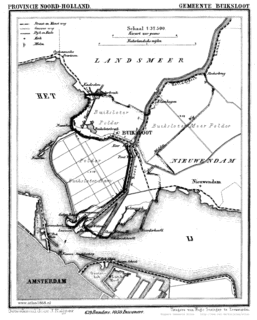
Buiksloot is a former village in the Dutch province of North Holland. It is now a neighbourhood of Amsterdam-Noord.

Schoten is a former village in the Dutch province of North Holland. It was located between Haarlem and Santpoort.
Alphen was a municipality in the Dutch province of South Holland. It consisted of the village of Alphen; now called Alphen aan den Rijn. That village was much smaller than the current town; the municipality only contained the part south of the Oude Rijn.
Broek was a municipality in the Dutch province of South Holland, located west and north of Gouda. A longer name of the municipality, Broek, Bloemendaal, Broekhuizen, Thuil en het Weegje names the polders that are part of the municipality.

Groeneveld is a former municipality in the Dutch province of South Holland. It was located to the west of the city of Delft. The municipality covered the Groeneveldse Polder, northwest of De Lier, and contained no towns or villages; only the hamlet of Lierhand.

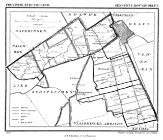
Hof van Delft is a former municipality in the Dutch province of South Holland. It was located to the west of the city of Delft, and covered the villages of Den Hoorn, Abtswoude, and 't Woudt.
Hofwegen is a hamlet in Molenlanden, which is a municipality in the Dutch province of South Holland. It is located on the south bank of the small river Graafstroom. It is now considered to be part of the village of Bleskensgraaf, which lies on the opposite bank.

Hoog en Woud Harnasch is a former municipality in the Dutch province of South Holland. It was located to the west of the city of Delft.

Hogeveen is a hamlet in the Dutch province of South Holland. It is located in the municipality of Alphen aan den Rijn, about 2 km south of Hazerswoude-Dorp.

Lange Ruige Weide is a former municipality in the Dutch province of South Holland. It was located west of the city of Oudewater, and covered the hamlets of Langeweide and Ruigeweide.

Stompwijk is a village in the Dutch province of South Holland. It is located between the cities Leiden and Zoetermeer and is part of the municipality of Leidschendam-Voorburg.

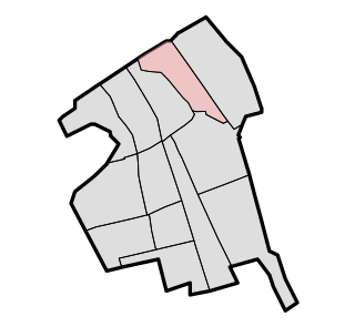
Vrijenban is a neighborhood of Delft in the Netherlands province of South Holland. It is located on the northeast boundary of the historic city center of Delft. Prior to being merged into Delft, Vrijenban used to be a municipality in its own right.

Zevenhuizen is a village in the Dutch province of South Holland. It is located about 12 km northeast of the city of Rotterdam.
References
- ↑ Ad van der Meer and Onno Boonstra, "Repertorium van Nederlandse gemeenten", KNAW, 2006. "KNAW > Publicaties > Detailpagina". Archived from the original on February 20, 2007. Retrieved December 3, 2009.
Coordinates: 52°35′17″N4°49′18″E / 52.58806°N 4.82167°E