
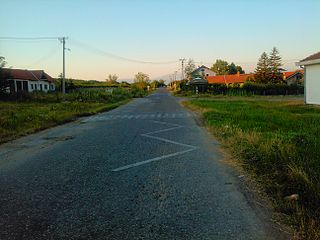
Gornji Neradovac is a village in Serbia situated in the municipality of Vranje, district of Pčinja. In 2002, it had 326 inhabitants.
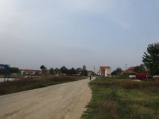
Crni Lug is a Serbian village situated in Vranje, Pčinja District. As of 2002, it has a population of 266.
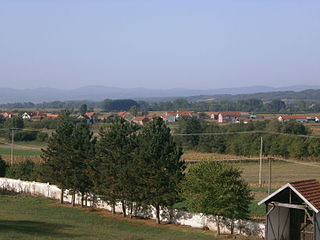
Mijakovce is a village in Vranje municipality, Pčinja District, Serbia. In 2002 the village had a population of 37. In 1991, the population was 73.

Barje is a village in the municipality of Leskovac, Serbia. According to the 2002 census, the village has a population of 372 people.

Brza is a village in the municipality of Leskovac, Serbia. According to the 2002 census, the village has a population of 1211 people.

Bunuški Čifluk is a village in the municipality of Leskovac, Serbia. According to the 2002 census, the village has a population of 505 people.
Donja Bunuša is a village in the municipality of Leskovac, Serbia. According to the 2002 census, the village has a population of 306 people.
Gornja Jajina is a village in the municipality of Leskovac, Serbia. According to the 2002 census, the village has a population of 637 people.
Igrište is a village in the municipality of Leskovac, Serbia. According to the 2002 census, the village has a population of 292 people.
Karađorđevac is a village in the municipality of Leskovac, Serbia. According to the 2002 census, the village has a population of 417 people.
Mrštane is a village in the municipality of Leskovac, Serbia. According to the 2002 census, the village has a population of 1431 people.
Miroševce is a village in the municipality of Leskovac, Serbia. According to the 2002 census, the village has a population of 1053 people.
Ravni Del is a village in the municipality of Leskovac, Serbia. According to the 2002 census, the village has a population of 78 people.
Rudare is a village in the municipality of Leskovac, Serbia. According to the 2002 census, the village has a population of 551 people.
Vlase is a village in the municipality of Leskovac, Serbia. According to the 2002 census, the village has a population of 584 people.
Žabljane is a village in the municipality of Leskovac, Serbia. According to the 2002 census, the village has a population of 724 people.
Zoljevo is a village in the municipality of Leskovac, Serbia. According to the 2002 census, the village has a population of 259 people.
Žeravino or Zheravino is a divided village in easternmost Serbia and westernmost Bulgaria. The Bulgarian half of the village is part of Kyustendil municipality, Kyustendil Province, whereas the Serbian part belongs to Bosilegrad municipality, Pčinja District.
Ranutovac is a village in the municipality of Vranje, Serbia. According to the 2002 Serbia census, the village has a population of 490 people.
Pastuh is a village in Nevestino Municipality, Kyustendil Province, south-western Bulgaria.


