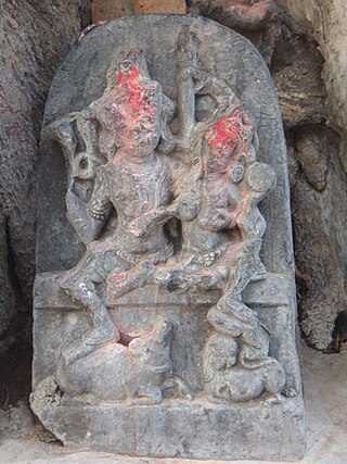
Sisai is one of the biggest villages in Bihar. It comes under Siwan District, India, located about 42 km by road and 52 km by train route north of the Chhapra. It is a typical village of Bihar. From September to April, a blanket is necessary during nights. It is the biggest village in Siwan. It has 51 tola. It comes under Goriyakothi Police Station and Sisai Panchayat. There is a famous middle school which built in 1916. It is bounded by Chhitaouli from north, Bishunpur from South, Angya from East and Pahlegpur from West.
Mullipallam is a panchayat village in Vadipatti Taluka of Madurai district, Tamil Nadu, India, with a total of 2173 families residing.

Tungi (earlier names Tunga, or Tungiya ] is a village in Nalanda district in Bihar, India.
Boraj Tawaran is a village in the Udaipur district of Rajasthan, India. It comes under the Malpur gram panchayat, in Salumber block. The village is located 8 km east of Salumber. It is also known as Boraj Tanwaran or Boraj Tavraan. Salumbar is nearest town to Boraj Tawaran village. Around 1700 CE, a Thakur of the Tanwar clan moved to Salumber during the rule of Rawat Kesari Singh Chundawat. In 1876, his descendant Thakur Tej Singh Tanwar was granted the jagir of the present-day village site to Rawat Jodh Singh Chundawat.
Nayadih is a village among a block of villages in Derhgaon of the Kashichak Block, Nawada District, in Bihar, India. The main villages of Nayadih, Derhgaon and Bishwanathpur together have been referred to as Derhgaon.
Harpur Kalan is a small village of 1269 families located in Majorganj, Sitamarhi, Bihar, India. The Harpur Kalan village has a population of 5510 of which 2990 are males while 2520 are females as per Population Census 2011. In Harpur Kalan village the population of children between the ages of 0-6 is 1027, which makes up 18.64% of the total population. The average sex ratio of Harpur Kalan village is 843, lower than the Bihar state average of 918. The child sex ratio for Harpur Kalan as per census is 824, lower than the Bihar average of 935.
Puduvoyal is a village panchayat located in the Thiruvallur district of Indian state of Tamil Nadu.
Rajepur Nawada is a village in the East Champaran District of Bihar.
Babhangawan is a village in Lakhisarai district, Bihar, India.
Subhanpur village is located in Kashi Chak Tehsil of Nawada district in Bihar, India. It is situated 6 km away from sub-district headquarter Kashi Chak and 40 km away from the district headquarter Nawada. As per 2009 stats, Subhanpur village is itself a gram panchayat. According to 2011 census information the location code or village code of Subhanpur village is 257666.
Nauhatta is a large village in Nauhatta Block in Saharsa District of Bihar state, India. It belongs to Kosi Division. It is located 20 km towards North from District headquarters Saharsa. 165 km from State capital Patna. It comes under Mahisi constituency. The village had a population of 25,347 of which 13,124 were male while 12,223 were females as per Population Census 2011.

Mokar is a Village located in Sasaram tehsil of Rohtas district in Bihar, India. It is situated 5 km away from Sasaram, which is both district & sub-district headquarter of Mokar village. As per 2009 stats, Mokar village is also a gram panchayat.
Akauna is a village located in Masaurhi block, Patna district, Bihar, India.
Akauna is a village located in Goh block, Aurangabad district, Bihar, India. It is located 4 km away from the block's headquarters. It was the home of Thakur Muneshwar Nath Singh, who was the Minister of Bihar.
Akauna is a large village located in Sirdala block, Nawada district, Bihar, India.
Akauna Minhai also known as Akauna Bazar is a small village located in Nawada, Nawada, Bihar, India.
Achuki is a village located in Rafiganj block, Aurangabad district, Bihar, India.
Anjanian is a village in Deo, Bihar, Aurangabad district in the Indian state of Bihar.
Amauna is a village located in the Belain Panchayat of Navinagar block of Aurangabad district of Bihar. It has population of around 300 People. The nearest city from this village is Navinagar around 8 km. The district headquarter Aurangabad is approx 30 km away from this village.
Mota Vadala is a village located in Jamnagar District of Gujarat. The village has 902 families and a population of 4129 of which 2139 are males and 1990 are females as per Indian Population Census 2011.


