
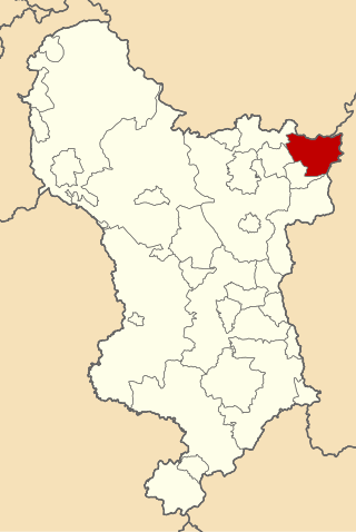
Amber Valley is a local government district and borough in the east of Derbyshire, England, taking its name from the River Amber. It covers a semi-rural zone with four main towns whose economy was based on coal mining and remains to some extent influenced by engineering, distribution and manufacturing, holding for instance the headquarters and production site of Thorntons confectionery.

Tintwistle Rural District was a local government district in north east Cheshire, England from 1894 to 1974.

Worksop was a Rural District in Nottinghamshire, England.
Clowne was a rural district in Derbyshire, England from 1894 to 1974.

Blackwell was a rural district in Derbyshire, England from 1894 to 1974. It was created under the Local Government Act 1894 based on that part of the Mansfield rural sanitary district which was in Derbyshire.

Longendale Urban District was, from 1936 to 1974, a local government district in the administrative county of Cheshire, England. It encompassed parts of Broadbottom, Hattersley, Hollingworth, Matley and Mottram in Longdendale, all of which form part of the non-statutory Longdendale Valley.
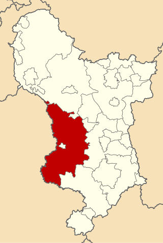
Ashbourne was a Rural District in Derbyshire, England from 1894 to 1974. It was created under the Local Government Act 1894.
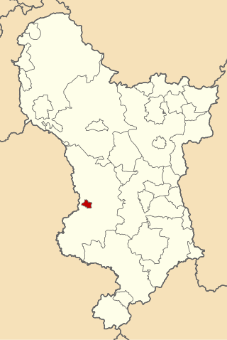
Ashbourne was an Urban District in Derbyshire, England from 1894 to 1974. It was created under the Local Government Act 1894.

Bakewell was an Urban District in Derbyshire, England from 1894 to 1974. It was created under the Local Government Act 1894.

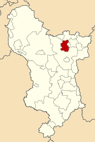
Belper was an Urban District in Derbyshire, England from 1894 to 1974. It was created under the Local Government Act 1894.

Bolsover was an Urban District in Derbyshire, England from 1894 to 1974. It was created under the Local Government Act 1894.

Buxton was an Urban District from 1894 to 1917 and a Municipal Borough from 1917 to 1974 in Derbyshire, England.
Chesterfield was a municipal borough in Derbyshire, England from 1835 to 1974. It was formed under the Municipal Corporations Act 1835 from the Ancient borough of Chesterfield.
Clay Cross was an Urban District in Derbyshire, England from 1894 to 1974. It was created under the Local Government Act 1894.

Dronfield was an Urban District in Derbyshire, England from 1894 to 1974. It was created under the Local Government Act 1894.
Heanor was an Urban District in Derbyshire, England from 1894 to 1974. It was created under the Local Government Act 1894.
Long Eaton was an Urban District in Derbyshire, England from 1894 to 1974. It was created under the Local Government Act 1894.
Matlock was an Urban District in Derbyshire, England from 1894 to 1974. It was created under the Local Government Act 1894.

New Mills was an Urban District in Derbyshire, England from 1894 to 1974. It was created under the Local Government Act 1894. The district was abolished in 1974 under the Local Government Act 1972 and combined with the Buxton and Glossop Municipal Boroughs, the Whaley Bridge Urban District and the Chapel en le Frith and Tintwistle Rural Districts to form the new High Peak district.
Ripley was an Urban District in Derbyshire, England from 1894 to 1974. It was created under the Local Government Act 1894.
