
The Coventry Canal is a navigable narrow canal in the Midlands of England.
Warwickshire is a county in the West Midlands region of England. The county town is Warwick, and the largest town is Nuneaton. The county is famous for being the birthplace of William Shakespeare at Stratford-upon-Avon and Victorian novelist George Eliot,, at Nuneaton. Other significant towns include Rugby, Leamington Spa, Bedworth and Kenilworth. The county offers a mix of historic towns and large rural areas. It is a popular destination for international and domestic tourists to explore both medieval and more recent history.
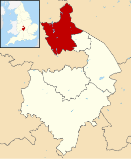
North Warwickshire is a local government district and borough in Warwickshire, England. The main town in the district is Atherstone where the offices of North Warwickshire Borough Council are based. Other significant places include Coleshill, Polesworth, Kingsbury and Hartshill. The district borders Staffordshire to the northwest, Leicestershire to the east and northeast, West Midlands county to the south and southwest, and the Warwickshire district of Nuneaton and Bedworth to the east.
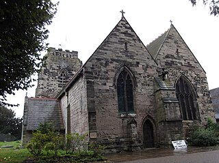
Polesworth is a large village and civil parish in the North Warwickshire district of Warwickshire, England. Polesworth is situated close to the northern tip of Warwickshire, adjacent to the border with Staffordshire, it is only 3 miles (5 km) east of Tamworth, and is 4.5 miles (7 km) north-west of Atherstone. The border with Derbyshire is 5.5 miles (9 km) to the north and the River Anker runs through the village.

Nuneaton is a constituency represented in the House of Commons of the UK Parliament since 2010 by Marcus Jones, a Conservative. Since 1997, the seat has been seen as an important national bellwether.
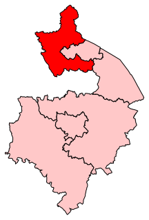
North Warwickshire is a constituency represented in the House of Commons of the UK Parliament since 2015 by Craig Tracey, a Conservative.
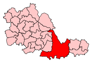
Meriden is a constituency represented in the House of Commons of the UK Parliament since 2019 by Saqib Bhatti, a Conservative. It is named after the village of Meriden, halfway between Solihull and Coventry.

The River Anker is a river in England that flows through the centre of Nuneaton. It is a major tributary of the River Tame, which it joins in Tamworth. The name of the river derives from an old British term for winding river. From source to river mouth at Tamworth is 50 kilometres (31 mi).
The Meriden Rural District was a rural district of Warwickshire, England, which existed between 1894 and 1974. It was named after the village of Meriden.
Tamworth was a rural district in the English Midlands from 1894 to 1965.
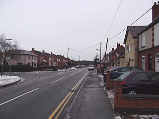
Wood End is an old mining village in North Warwickshire, England. It lies to the south east of Tamworth and close to the border with Staffordshire. It grew around the former Kingsbury Colliery but now it serves as a commuter village to Tamworth. It has a church, a primary school, a co-operative store, a working men's club and a village hall. The population of Wood End is 2,205, but from the 2011 Census has been included in Kingsbury, Warwickshire.
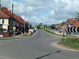
Dordon is a village and civil parish in the North Warwickshire district of the county of Warwickshire in England and close to the border with Staffordshire. The village is located on the A5 and is adjacent to the larger village of Polesworth. Other nearby places include Tamworth, Atherstone, Grendon, Wood End Village, Baddesley Ensor and Nuneaton. In 2001 the population for the parish of Dordon was 3,225, reducing slightly to 3,215 at the 2011 census.

Merevale is a village and civil parish in the North Warwickshire district of the county of Warwickshire in England. Located about one and a half miles west of Atherstone, it is the site of a medieval Cistercian Abbey and Merevale Hall.
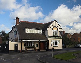
Hurley is a village in the Kingsbury civil parish of North Warwickshire, England. Other nearby places include Wood End, Hurley Common, Coleshill, Water Orton, Curdworth, Atherstone and Tamworth.
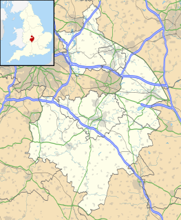
Piccadilly is a small village in the North Warwickshire district of the county of Warwickshire in England. It is located near to the larger village of Kingsbury, and is four miles south of Tamworth.

Shuttington is a village and civil parish in North Warwickshire, England, situated north-east of Tamworth, Staffordshire. In the 2001 census, the parish, which also includes Alvecote, had a population of 563, decreasing to 536 at the 2011 census.
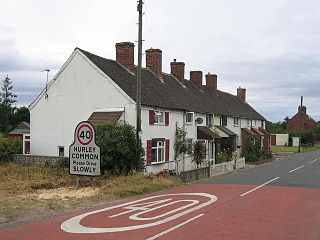
Hurley Common is a village in North Warwickshire, England, between Wood End and Hurley, it consists of several houses and 2 Farms, Hurley common does not have its own Parish Church so it is technically a hamlet. Population details for the 2011 Census can be found under Kingsbury.

Foul End is a small village in Warwickshire, England. Other nearby places include Hurley, Wood End, Hurley Common, Coleshill, Water Orton, Curdworth, Atherstone and Tamworth.

Grendon is a civil parish which includes both Old Grendon and New Grendon in North Warwickshire, England. Population details can be found under Baddesley Ensor.