
Coffee County is a county located in the southeastern part of the U.S. state of Alabama. As of the 2020 census, the population was 53,465. Its name is in honor of General John Coffee.

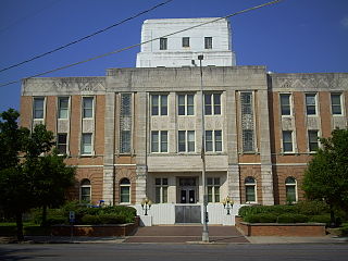
Dale County is a county located in the southeastern part of the U.S. state of Alabama. As of the 2020 census the population was 49,326. Its county seat and largest city is Ozark. Its name is in honor of General Samuel Dale.
Lauderdale County is a county located on the eastern border of the U.S. state of Mississippi. As of the 2020 census, the population was 72,984. The county seat is Meridian. The county is named for Colonel James Lauderdale, who was killed at the Battle of New Orleans in the War of 1812. Lauderdale County is included in the Meridian, MS Micropolitan Statistical Area.
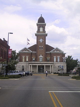
Greenville is a city and the county seat of Butler County, Alabama, United States. At the 2020 census, the population was 7,374. Greenville is known as the Camellia City, wherein originated the movement to change the official Alabama state flower from the goldenrod to the camellia with legislative sponsors LaMont Glass and H.B. Taylor.

Ozark is a city in and the county seat of Dale County, Alabama. As of the 2010 census, the population of the city was 14,907.
Clopton is an unincorporated community and census-designated place (CDP) in Dale County, Alabama, United States. Clopton is located on Alabama State Route 105, 10.9 miles (17.5 km) west-northwest of Abbeville.
Skipperville is an unincorporated community in Dale County, Alabama, United States. Skipperville is located on Alabama State Route 105, 8.8 miles (14.2 km) northeast of Ozark. Skipperville has a post office with ZIP code 36374, which opened on November 10, 1853.This community also consists of G.W. Long School, which has won a 2a state championship for baseball in many previous years. This school also has other sports teams with state wide victories.
Arguta is an unincorporated community in Dale County, Alabama, United States.
Asbury is an unincorporated community in Dale County, Alabama, United States.
Barnes, also known as Barnes Cross Roads or Burns, is an unincorporated community in Dale County, Alabama, United States. Barnes is located on Alabama State Route 123, 4.6 miles (7.4 km) south-southeast of Ariton.
Dillard, also known as Dillards, is an unincorporated community in Dale County, Alabama, United States.
Echo, also known as Marshalls Cross Roads, is an unincorporated community in Dale County, Alabama, United States. Echo is located on Alabama State Route 27, 10.4 miles (16.7 km) east of Ozark.
Ewell is an unincorporated community in Dale County, Alabama, United States. Ewell is located on Alabama State Route 27, 3.0 miles (4.8 km) southeast of Ozark.
Gerald was an unincorporated community in Dale County until 1965, when the area was incorporated into the town limits of the newly formed Level Plains, Alabama, United States.
Kelly, also known as Douglas or Douglas Kelly Station, is an unincorporated community in Dale County, Alabama, United States.
Mabson is an unincorporated community in Dale County, Alabama, United States.
Rocky Head, also known as Rockyhead, is an unincorporated community in Dale County, Alabama, United States. Rocky Head is located on Alabama State Route 51, 3.6 miles (5.8 km) southwest of Ariton.
Sylvan Grove, also spelled Sylvangrove, is an unincorporated community in Dale County, Alabama, United States.

Fort Dale was a stockade fort built in present-day Butler County, Alabama by Alabama Territory settlers. The fort was constructed in response to Creek Indian attacks on settlers in the surrounding area.


