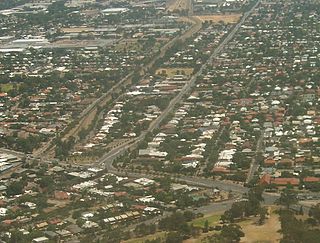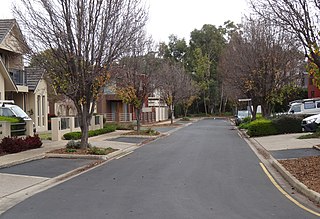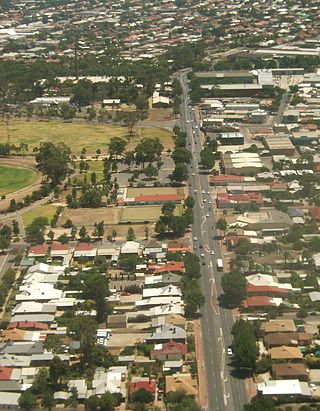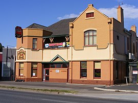
One Tree Hill is a town on the outskirts of Adelaide, South Australia. It is located in the City of Playford.

Prospect is the seat of the City of Prospect and an inner northern suburb of greater Adelaide. It is located 5 km (3.1 mi) north of Adelaide's centre.

Blair Athol is located about 15 km (9 mi) north of the Adelaide CBD, South Australia. Blair Athol borders the suburbs of Gepps Cross, Enfield, Prospect and Kilburn. The suburb is rectangular, stretching from Grand Junction Road in the north to Angwin Avenue in the south between Prospect Road on the west and Main North Road on the east. Blair Athol's main and longest street is Florence Avenue.
Beulah Park is a suburb of Adelaide, South Australia in the City of Burnside.

Unley Park is a southern suburb of Adelaide in the City of Unley. Its postcode is 5061.
St Morris is a suburb of Adelaide, located in the local government area of the City of Norwood Payneham St Peters.
Plympton is an inner south-western suburb of Adelaide, South Australia. The name is believed to have been given by Henry Mooringe Boswarva to a private subdivision in the area, naming after his home town in Devon, England. It was accepted as an official name for the suburb in 1944.

Thebarton, formerly Theberton, on Kaurna land, is an inner-western suburb of Adelaide, South Australia in the City of West Torrens. The suburb is bounded by the River Torrens to the north, Port Road and Bonython Park to the east, Kintore Street to the south, and South Road to the west.

Sturt is a suburb of Adelaide in the City of Marion local government area. It was named after the explorer Captain Charles Sturt.
Pennington is a northern suburb of Adelaide, South Australia, located about 10 km from the Adelaide city centre. It is located in the City of Charles Sturt.
Camden Park is a suburb of the city of Adelaide, South Australia.
Yatala Vale is an outer northeastern rural suburb of Adelaide, South Australia. It is located in the City of Tea Tree Gully local government area, and is adjacent to Golden Grove and Fairview Park, as well as the rural districts of Upper Hermitage and Gould Creek.

Valley View is a suburb of Adelaide, South Australia. It spans three separate local government areas. They are the City of Salisbury, the City of Port Adelaide Enfield, and the City of Tea Tree Gully. The suburb's boundaries are defined by the intersection of Walkleys, Grand Junction and North East Roads in the south, and Wright and Kelly Roads in the north and east.
Cumberland Park is an inner-southern suburb of Adelaide, South Australia in the City of Mitcham.

Underdale is a western suburb of South Australia's capital city Adelaide on Kaurna land. It sits between Henley Beach Road and the River Torrens. It is largely residential with a very small industrial section on the Eastern side of Holbrook's Road near the river.

Pooraka is a suburb in Adelaide, South Australia. It is 12 kilometres north of the central business district.

West Hindmarsh is a suburb of Adelaide, located in the City of Charles Sturt local government area. It is around 4 km west northwest of the Adelaide city centre. It is bounded on the south by the River Torrens, east by South Road, north by Port Road and west by streets separating it from the suburb of Welland which has the same north and south boundaries. Grange Road crosses the middle of the suburb.
Windsor Gardens is a suburb in the north-eastern suburbs of Adelaide, the capital of South Australia.

Virginia is a town on the rural outskirts of Adelaide, the capital city of South Australia. Port Wakefield Road, the main highway taking traffic to the north of Adelaide, passes through the area and used to pass straight through Virginia. Market gardening is the main activity there.
Cavan railway station was located 12.1 kilometres (7.5 mi) by rail from Adelaide on the now closed Northfield branch line. Its elevation was 13 metres (43 ft) above sea level.


