Commerce, Mississippi

Last updated
Commerce, Mississippi
Commerce Mississippi.jpg
Looking west from Commerce
USA Mississippi location map.svg
Red pog.svg
Commerce, Mississippi
Coordinates: 34°49′10″N90°22′49″W / 34.81944°N 90.38028°W / 34.81944; -90.38028 Coordinates: 34°49′10″N90°22′49″W / 34.81944°N 90.38028°W / 34.81944; -90.38028
Country United States
State Mississippi
County Tunica
Elevation
200 ft (61 m)
Time zone UTC-6 (Central (CST))
  Summer (DST) UTC-5 (CDT)
GNIS feature ID668724 [1]

Commerce is a ghost town in Tunica County, Mississippi, United States. Commerce Landing was the town's port.

Contents

Commerce is located on the Mississippi River, 4 mi (6.4 km) west of Tunica Resorts.

Once a thriving river port, Commerce today is farmland surrounded by large casinos. Little remains of the original community.

History

Commerce Landing is one of two hypothesized locations where Spanish explorer Hernando de Soto may have crossed the Mississippi River (the other is Friars Point, Mississippi). Archeological sites at Commerce have dated to around 1541, and three archeological sites near Commerce have been found to contain Late Mississippian ceramics, which corresponds to records left by the Spanish describing three Quizquiz Indian villages they encountered near the Mississippi River. [2]

During the 1820s, both Commerce and Mound City, Arkansas were considered commercial rivals of Memphis, Tennessee, and by 1839, Commerce had a larger population than Memphis (located 40 mi (64 km) north on the Mississippi River). [3]

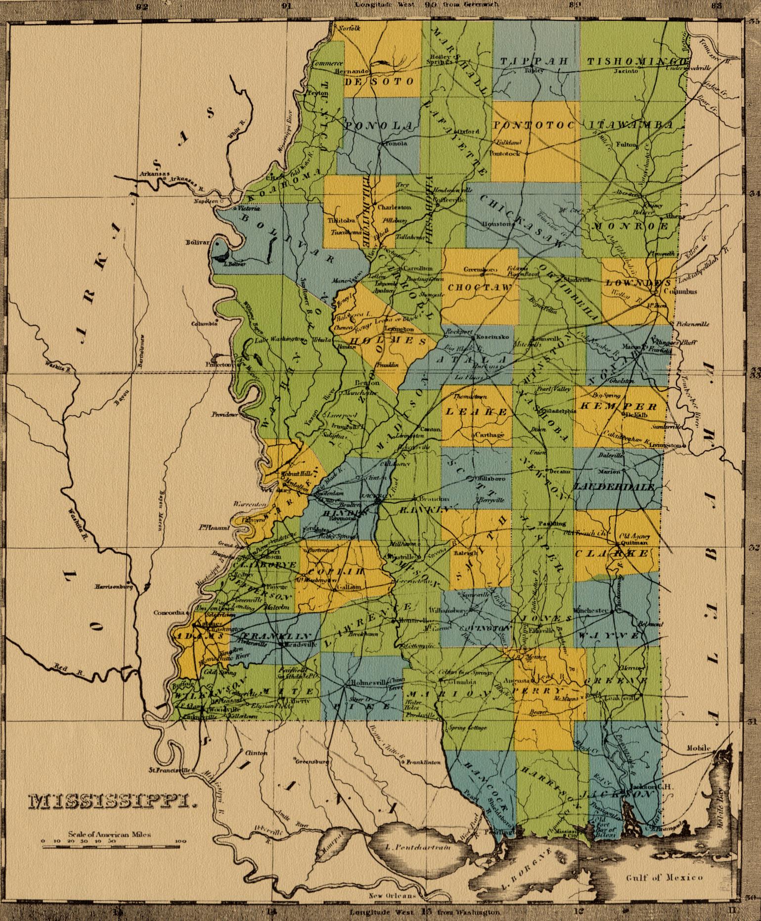
Thomas Fletcher, an early settler, along with an unknown Choctaw Indian, named the place "Commerce", expecting it to become a great city. Commerce was founded in 1834, and became the county seat in 1836. It incorporated in 1839, and was the first town in Tunica County. [4]

There is a story about artist John Banvard stopping at Commerce as he traveled the Mississippi River with a floating exhibition of his paintings during the 1840s. When a local "official" in Commerce attempted to extort a docking fee, Banvard's crew floated downstream with the man still on board.

They set him ashore in a thick cane-break, on the opposite side of the river, about three miles below the town. How he got home that night is best known to himself. We venture to say he never meddled with business that did not concern him after passing that night among the musquitoes and alligators. [5]

The construction of a railroad through Commerce was nearly completed in 1840, when the administration of Governor Alexander McNutt took the charter away from the Hernando Bank, bankrupting both the bank and the railroad. [4]

In 1843, the Mississippi River changed its course, submerging a portion of Commerce Landing. In an effort to save their homes, the early settlers built the first levees in this portion of the Delta. The county seat was temporarily moved to Peyton. Six months later it was moved back to Commerce. [6] [7] The Board of Supervisors then moved the county seat to Austin. [4] [8]

Explorer and naturalist Samuel Washington Woodhouse documented stopping above Commerce in 1849 "to take in wood". [9]

Much of the land of Commerce was sold by Thomas Fletcher to Ransom H. Byrn, who planted cotton, and was by 1860 the second largest slave owner in Tunica County. [10]

In 1888, the steamer Kate Adams, the fastest boat of its type on the Mississippi River, caught fire near Commerce, killing 23. The people of Commerce provided food, clothing and transportation to the survivors. [11]

As a child during the 1920s, blues musician Robert Johnson lived with his parents on the Abbay & Leatherman plantation in Commerce, and attended nearby Indian Creek School. A Mississippi Blues Trail marker is located in Commerce. [12] [13]

In 1955, a tornado touched down on the Abbay & Leatherman plantation, killing 28. It cut a 200 ft (61 m) wide path and destroyed a row of tenant houses, a school, a church, and a cotton gin. The school was in session, and most of the dead were children and their teacher. [14]

Related Research Articles

Tunica County, Mississippi U.S. county in Mississippi

Tunica County is a county located in the U.S. state of Mississippi. As of the 2010 census, the population was 10,778. Its county seat is Tunica. The county is named for the Tunica Native Americans. Most migrated to central Louisiana during the colonial period.

DeSoto County, Mississippi U.S. county in Mississippi

DeSoto County is a county located on the northwest border of the U.S. state of Mississippi. As of the 2010 census, the population was 161,252, making it the third-most populous county in Mississippi. Its county seat is Hernando.

West Memphis, Arkansas City in Arkansas, United States

West Memphis is the largest city in Crittenden County, Arkansas, United States. The population was 26,245 at the 2010 census, ranking it as the state's 18th largest city, behind Bella Vista. It is part of the Memphis metropolitan area, and is located directly across the Mississippi River from Memphis, Tennessee.

Friars Point, Mississippi Town in Mississippi, United States

Friars Point is a town in Coahoma County, Mississippi, United States. The population was 1,200 at the 2010 census, down from 1,480 in 2000.

Hernando, Mississippi City in Mississippi, United States

Hernando is a city in and the county seat of DeSoto County, which is on the northwest border of Mississippi, United States. The population was 14,090 at the 2010 census, up from 6,812 in 2000. DeSoto County is the second-most-populous county in the Memphis metropolitan area, which includes counties in Tennessee and Mississippi.

Tunica, Mississippi Town in Mississippi, United States

Tunica is a town in and the county seat of Tunica County, Mississippi, United States, near the Mississippi River. Until the early 1990s when casino gambling was introduced in the area, Tunica had been one of the most impoverished places in the United States. Despite this economic improvement, Tunica's population continues to decline from its peak in 1970.

Tunica-Biloxi

The Tunica-Biloxi Indian Tribe, formerly known as the Tunica-Biloxi Indian Tribe of Louisiana, is a federally recognized tribe of primarily Tunica and Biloxi people, located in east central Louisiana. Descendants of Ofo (Siouan-speakers), Avoyel, and Choctaw (Muskogean) are also enrolled in the tribe.

Downtown Memphis, Tennessee

Downtown Memphis, Tennessee is the central business district of Memphis, Tennessee and is located along the Mississippi River between Interstate 40 to the north, Interstate 55 to the south and I-240 to the east, where it abuts Midtown Memphis.

Tunica Resorts, Mississippi Census-designated place in Mississippi, United States

Tunica Resorts is a census-designated place (CDP) in northern Tunica County, Mississippi, United States, north of the county seat of Tunica. The community is situated mostly between the Mississippi River and U.S. Route 61 along the border with Arkansas.The population as of the 2010 census was 1,910.

Mississippi Highway 304 (MS 304) is east-west state highway in the northwestern part of the U.S. state of Mississippi, running for 40.3 miles (64.9 km) as a four-lane freeway from U.S. Route 61 in Tunica Resorts to the Tennessee state line near Collierville. It is mostly concurrent with Interstate 69 (I-69) and Interstate 269 (I-269).

Area code 662 Telephone area code serving the northern half of Mississippi, US

Area code 662 is the telephone area code serving the northern half of Mississippi, including the six counties that are part of the Memphis metro area. It also includes the cities which are home to the state's two largest universities, Oxford and Starkville.

Walls, Mississippi Place in Mississippi, United States

Walls is a town located in northern DeSoto County, Mississippi, United States, near the Mississippi River, part of the larger region known as "The Delta", and known for its rich, dark soil. As it is in the upper northwest corner of Mississippi, it is in the Memphis, Tennessee metropolitan area. Its ZIP code is 38680. As of the 2010 census it had a population of 1,162, with an estimated population of 1,463 in 2018.

The proposed Interstate 69 (I-69) extension from Indianapolis southwest to Texas currently has a short piece completed in the U.S. state of Mississippi, south of Memphis, Tennessee. The south end is an at-grade intersection with the former route of MS 304 near Tunica Resorts, where Mississippi Highway 713 continues west to U.S. Highway 61, and the route continues north to the Mississippi state line. Much of the route overlaps Mississippi Highway 304, which intersects US 61 farther north than MS 713. MS 304 continues east from I-55, connecting to State Route 385 in Tennessee, forming part of the Interstate 269 Memphis outer beltway.

The Koroa were one of the groups of indigenous people who lived in the Mississippi Valley prior to the European settlement of the region. They lived in the northwest of present-day Mississippi in the Yazoo River basin.

Tunica people

The Tunica people were a group of linguistically and culturally related Native American tribes in the Mississippi River Valley, which include the Tunica ; the Yazoo; the Koroa ; and possibly the Tioux. They first encountered Europeans in 1541 - members of the Hernando de Soto expedition.

Mhoon Landing, Mississippi Unincorporated community in Mississippi, United States

Mhoon Landing is an unincorporated community located on the Mississippi River in Tunica County, Mississippi, United States. It is approximately 6 miles (9.7 km) northwest of North Tunica and approximately 12 miles (19 km) southwest of Tunica Resorts.

Tunica Museum History museum in Tunica, Mississippi

The Tunica Museum is a museum in Tunica, Mississippi dedicated to the history of Tunica County. Founded in 1997 and funded by casino gambling revenues, it has 6,500 square feet (600 m2) of permanent exhibit space and 1,600 square feet (150 m2) of temporary exhibit space, which showcase historically aspects of the region including race relations, Native American settlements, and the daily life of residents. It offers self-guided tours and is free to enter.

Norfolk, Mississippi Unincorporated community in Mississippi, United States

Norfolk is an unincorporated community located in Desoto County, Mississippi, United States. Norfolk Landing, located a short distance west of Norfolk, was the community's port on the Mississippi River.

Brunswick, Mississippi Ghost town in Mississippi, United States

Brunswick is a ghost town in Warren County, Mississippi. Brunswick Landing, north of the community, was located directly on the Mississippi River.

Quigualtam or Quilgualtanqui was a powerful Native American Plaquemine culture polity encountered in 1542-1543 by the Hernando de Soto expedition. The capital of the polity and its chieftain also bore the same name; although neither the chief nor his settlements were ever visited in person by the expedition. Their encounters consisted of messages sent by runners and a three-day long canoe battle on the Mississippi River. Multiple archaeological cultures, archaeological sites, and protohistoric and early historic period Native American groups have been proposed by historians and archaeologists to identify the polity, but their identity will probably never be known with any degree of certainty.

References

  1. U.S. Geological Survey Geographic Names Information System: Commerce, Mississippi
  2. Morse, Dan F. (1983). "Archeology of the Central Mississippi Valley" (PDF). Academic Press. Archived from the original (PDF) on 2016-03-04. Retrieved 2013-09-11.
  3. Biles, Roger (1986). Memphis in the Great Depression. University of Tennessee Press. ISBN   9781572331570.
  4. 1 2 3 "Communities of Tunica County, Mississippi". MSGenWeb. Retrieved September 9, 2013.
  5. Howitt, Mary Botham (1848). Howitt's Journal of Literature and Popular Progress, Volume 3. William Lovett.
  6. "Museum History". Tunica Museum. Retrieved December 1, 2013.
  7. "Tunica Timeline". Tunica Convention and Visitors Bureau. Archived from the original on 2014-02-07. Retrieved December 1, 2013.
  8. McElvaine, Robert S. (1988). Mississippi: The WPA Guide to the Magnolia State. University Press of Mississippi. ISBN   9781604732894.
  9. Woodhouse, S.W. (1992). A Naturalist in Indian Territory: The Journals of S. W. Woodhouse, 1849-1850. University of Oklahoma Press. ISBN   9780806128054.
  10. Blake, Tom (Feb 2002). "Tunica County: Largest Slaveholders from 1860 Slave Census Schedules". Rootsweb.
  11. "Twenty-Three Lives Lost" (PDF). New York Times. Dec 24, 1888.
  12. "Abbay & Leatherman". Mississippi Blues Foundation. Retrieved September 8, 2013.
  13. Gates, Henry Louis (2004). African American Lives. Oxford. ISBN   9780199882861.
  14. "Commerce, Olive Branch, MS Tornado Damages Small Towns, Feb 1955". Dixon Evening Telegraph. Feb 2, 1955. Archived from the original on November 9, 2014. Retrieved September 11, 2013.