Eberstein, Austria

Last updated
Eberstein
Eberstein1.jpg
Wappen at eberstein.png
Coat of arms
Austria adm location map.svg
Red pog.svg
Eberstein
Location within Austria
Coordinates: 46°48′N14°34′E / 46.800°N 14.567°E / 46.800; 14.567 Coordinates: 46°48′N14°34′E / 46.800°N 14.567°E / 46.800; 14.567
Country Austria
State Carinthia
District Sankt Veit an der Glan
Government
   Mayor Andreas Grabuschnig
Area
[1]
  Total65.24 km2 (25.19 sq mi)
Elevation
580 m (1,900 ft)
Population
 (2018-01-01) [2]
  Total1,271
  Density19/km2 (50/sq mi)
Time zone UTC+1 (CET)
  Summer (DST) UTC+2 (CEST)
Postal code
9372
Area code 04264
Website www.eberstein.at

Eberstein (Slovenian: Svinec) is a town in the district of Sankt Veit an der Glan in the Austrian state of Carinthia.

Contents

Geography

The municipality lies in the central Görtschitz valley at the foot of the Saualpe.

World War II

Peter Pearson tells a story about the region on the BBC Website "WW2 People's War". He says that Signal Platoon of HQ Company 5th Battalion Sherwood Foresters came from Italy into Eberstein, Austria in 1945, and that it was

Somewhere in the area between St Viet and Neumark we eventually came to a stop in an idyllic picturesque village called Eberstein. It was the sort of place you see on Austrian postcards with a clear sparkling river (complete with trout) and green meadows full of wild flowers, and cows with tinkling bells round their necks. There was a castle here known as Schloss Eberstein.

[3]

He goes on to describe the surrender at Eberstein of 30,000 Cossack troops, with 20,000 horses, who had been fighting on the Axis side, many of whom he describes as Ukrainian. They were eventually turned over to the Red Army at Judenburg as part of the Repatriation of Cossacks after WWII. [3]

Related Research Articles

Lenzing Place in Upper Austria, Austria

Lenzing is a small town of approximately 5,000 residents, three kilometers north of Lake Attersee in Austria, It is located in the Upper Austrian part of the Salzkammergut.

Kapfenberg Place in Styria, Austria

Kapfenberg[ˈkapfənbɛʁk], with around 23,059 inhabitants, is the third largest city in Styria, Austria, near Bruck an der Mur. The town's landmark is Burg Oberkapfenberg. Its main employer is the steel manufacturer Böhler.

Pasching Place in Upper Austria, Austria

Pasching is a municipality in the Austrian state of Upper Austria. It is situated a few miles southwest of Linz and borders Leonding, Hörsching, Wilhering and Traun.

Attnang-Puchheim Place in Upper Austria, Austria

Attnang-Puchheim is a town in Austria, located in the Vöcklabruck district, lying between the cities Vöcklabruck and Schwanenstadt. Its partner city is the city of Puchheim in Bavaria, Germany.

Gmünd, Lower Austria Place in Lower Austria, Austria

Gmünd is a town in the northwestern Waldviertel region of Lower Austria and the capital of the Gmünd district. The municipality consists of the Katastralgemeinden Böhmzeil, Breitensee, Eibenstein, Gmünd and Grillenstein. Situated on the Lainsitz (Lužnice) river where it forms the border with České Velenice in the Czech Republic, it is an important road and railway crossing point, next to the Blockheide protected area.

Litzelsdorf Place in Burgenland, Austria

Litzelsdorf is a town in the district of Oberwart in the Austrian state of Burgenland.

Kappel am Krappfeld Place in Carinthia, Austria

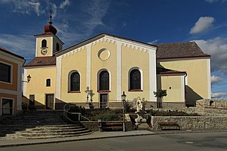
Kappel am Krappfeld is a town in the district of Sankt Veit an der Glan in the Austrian state of Carinthia. It is the birthplace of Maria Lassnig.

Lendorf Place in Carinthia, Austria

Lendorf is a municipality in the district of Spittal an der Drau in the Austrian state of Carinthia.

Sankt Peter in der Au Place in Lower Austria, Austria

Sankt Peter in der Au is a town in the district of Amstetten in Lower Austria in Austria.

Aspangberg-Sankt Peter Place in Lower Austria, Austria

Aspangberg-Sankt Peter is a town in the district of Neunkirchen in the Austrian state of Lower Austria.

Böheimkirchen Place in Lower Austria, Austria

Böheimkirchen is a town in the district of Sankt Pölten-Land in the Austrian state of Lower Austria.

Sankt Ulrich am Pillersee Place in Tyrol, Austria

Sankt Ulrich am Pillersee is a municipality in the Kitzbühel district, in midwestern Austria, and is located 16.4 kilometres (10.2 mi) northeast of Kitzbühel as well as 11 kilometres (6.8 mi) west of Sankt Johann in Tirol.

Brixlegg Place in Tyrol, Austria

Brixlegg is a market town in the Kufstein district in the Austrian state of Tyrol. The town lies in the Lower Inn Valley and at the entrance of the Alpbachtal.

Kautzen Place in Lower Austria, Austria

Kautzen is a municipality in the district of Waidhofen an der Thaya in the Austrian state of Lower Austria.

Sankt Radegund Place in Upper Austria, Austria

Sankt Radegund, abbreviated St. Radegund, is a municipality in the district of Braunau am Inn in the Austrian state of Upper Austria, named after Saint Radegund. It is situated at the western rim of the Innviertel region, where the Salzach river forms the border to the German state of Bavaria.

Sankt Peter am Wimberg Place in Upper Austria, Austria

Sankt Peter am Wimberg is a municipality in the district of Rohrbach in the Austrian state of Upper Austria. It is located 173 km from Austria's capital city, Vienna. The municipality also observes Daylight saving time (DST).
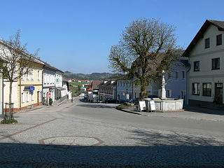
Taufkirchen an der Pram Place in Upper Austria, Austria

Taufkirchen an der Pram is a municipality in the district of Schärding in the Austrian state of Upper Austria.
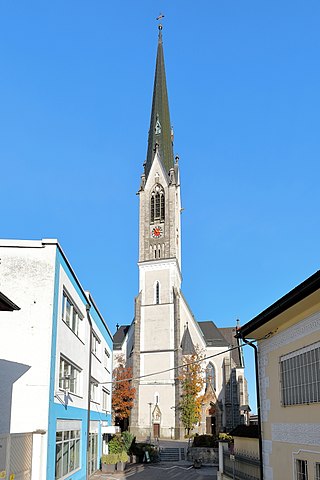
Sankt Peter ob Judenburg Place in Styria, Austria

Sankt Peter ob Judenburg is a municipality in the district of Murtal in Styria, Austria.

Krieglach Place in Styria, Austria

Krieglach is a municipality in the district of Bruck-Mürzzuschlag in Styria, Austria.

Sankt Peter am Ottersbach Place in Styria, Austria

Sankt Peter am Ottersbach is a municipality in the district of Südoststeiermark in the Austrian state of Styria.

References

[3]

  1. "Dauersiedlungsraum der Gemeinden Politischen Bezirke und Bundesländer - Gebietsstand 1.1.2018". Statistics Austria. Retrieved 10 March 2019.
  2. "Einwohnerzahl 1.1.2018 nach Gemeinden mit Status, Gebietsstand 1.1.2018". Statistics Austria. Retrieved 9 March 2019.
  3. 1 2 3 BBC. "BBC - WW2 People's War - Peter Pearson's War Story". BBC. Retrieved 2009-01-24.