
Lakehills is a census-designated place (CDP) in Bandera County, Texas, United States. The population was 5,150 at the 2010 census, making it the most populous place in Bandera County. It is part of the San Antonio Metropolitan Statistical Area.

Kempner is a city in Lampasas County, Texas, United States. The population was 1,146 at the 2020 census. It is part of the Killeen–Temple–Fort Hood Metropolitan Statistical Area.

Lipscomb is an unincorporated community and census-designated place (CDP) in Lipscomb County, Texas, United States. It is the Lipscomb county seat. The population was 37 at the 2010 census.
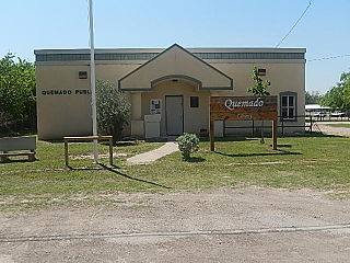
Quemado is a census-designated place (CDP) in Maverick County, Texas, United States. Its population was 230 at the 2010 census.
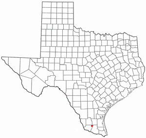
San Isidro is a census-designated place (CDP) in Starr County, Texas, United States. The population was 240 at the 2010 census. The town is named for St. Isidore the Laborer, the patron saint of farmers. A large Southwestern Barrel Cactus growing just east of town is said to be the largest in Texas.
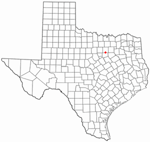
Rendon is a census-designated place (CDP) in Tarrant County, Texas, United States. The population was 13,533 in 2020.

Bruni is a census-designated place (CDP) in Webb County, Texas, United States. The population was 379 at the 2010 census.
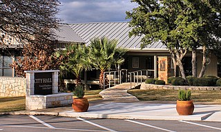
Horseshoe Bay is a city in Llano and Burnet counties in the U.S. state of Texas.
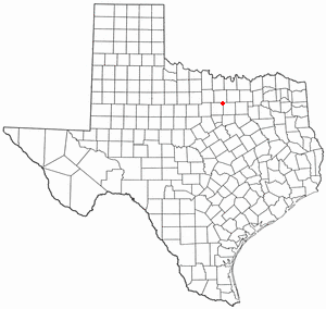
Briar is a census-designated place (CDP) in Parker, Tarrant and Wise counties in the U.S. state of Texas, near the west side of Eagle Mountain Lake.The population was 7,035 in 2020.
Pecan Acres is a census-designated place (CDP) in Tarrant and Wise counties in the U.S. state of Texas. The population was 4,808 in 2020.
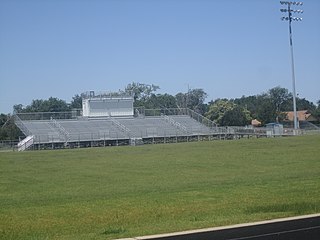
Chilton is a census-designated place (CDP) and unincorporated community in Falls County, Texas, United States. It had a population of 776 at the 2020 census.

McDade is an unincorporated community and census-designated place in northern Bastrop County, Texas, United States, located along U.S. Route 290. As of the 2020 census, it had a population of 720. It is 9 miles (14 km) east of Elgin and 34 miles (55 km) east of Austin. It is 21 miles (34 km) west of Giddings.
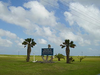
Matagorda is a census-designated place in Matagorda County, Texas, United States. It is located near the mouth of the Colorado River on the upper Texas coast in the United States. In 2020, its population was 313. Matagorda is primarily a tourist town, with commercial and recreational fishing being the top industries. Approximately 23 miles (37 km) of the beach are accessible by vehicle and 35 additional miles are accessible only by boat. Matagorda is at the end of State Highway 60 and the beginning of Farm to Market Road 2031, which runs over the Intracoastal Waterway and south to the Gulf of Mexico.
Oak Island is an unincorporated community and census-designated place (CDP) in Chambers County, Texas, United States. The population was 371 at the 2020 census.
Lake Medina Shores is a census-designated place in Bandera and Medina counties, Texas, United States. Its population was 1,235 as of the 2010 census. This was a new CDP for the 2010 census.
Thunderbird Bay is a census-designated place (CDP) in Brown County in central Texas, United States. The population was 663 at the 2010 census.
Hornsby Bend is a census-designated place (CDP) in Travis County, Texas, United States. This was a new CDP for the 2010 census with a population of 6,791, increasing to 12,168 in 2020. The area was named after early settler and Republic of Texas era postmaster Reuben Hornsby. His great-grandson, Baseball Hall of Famer Rogers Hornsby, is buried in Hornsby Bend.
Westwood Shores is a census-designated place (CDP) in Trinity County, Texas, United States. This was a new CDP for the 2010 census with a population of 1,162, increasing to 1,239 at the 2020 census.
Southwest Sandhill is an unincorprated area and census-designated place (CDP) in Ward County, Texas, United States. It was first listed as a CDP prior to the 2020 census.
Lockett is an unincorporated community and census-designated place (CDP) in Wilbarger County, Texas, United States. It was first listed as a CDP prior to the 2020 census.


