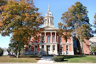
Whitley County is a rural county in the U.S. state of Indiana. As of the 2020 United States census, the population was 34,191. Whitley County is the 49th largest county in Indiana. The county seat is Columbia City. The county has the highest county number (92) on Indiana license plates, as it is alphabetically the last in the state's list of counties. It is part of the Fort Wayne Metropolitan Statistical Area and the Fort Wayne–Huntington–Auburn Combined Statistical Area.
Wells County is a county in the U.S. state of Indiana. As of the 2020 United States Census, the population was 28,180. The county seat is Bluffton.
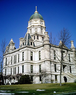
Vigo County is a county on the western border of the U.S. state of Indiana. According to the 2020 United States Census, it had a population of 106,153. Its county seat is Terre Haute.
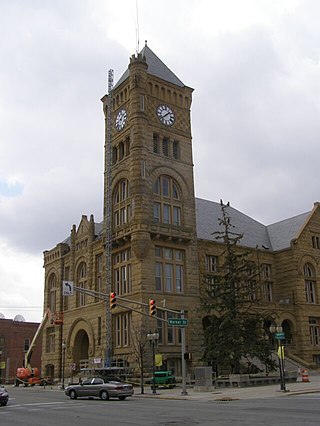
Marshall County is a county in the U.S. state of Indiana. The 2020 census recorded the population at 46,095. The county seat is Plymouth.

Knox County is a county in the U.S. state of Indiana in the United States. The oldest county in Indiana, it was one of two original counties created in the Northwest Territory in 1790, alongside St. Clair County, Illinois. Knox County was gradually reduced in size as subsequent counties were established. It was established in its present configuration when Daviess County was partitioned off. At the 2020 United States Census, the county population was 36,282. The county seat is Vincennes.

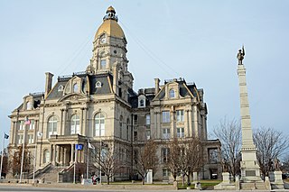
Allen County is a county in the U.S. state of Indiana. As of the 2020 Census, the population was 385,410, making it the third-most populous county in Indiana. The county seat and largest city is Fort Wayne, the second largest city in Indiana.

Chester Township is one of nine townships in Wells County, Indiana, United States. As of the 2010 census, its population was 936 and it contained 394 housing units.

Southwestern Indiana is an 11-county region of southern Indiana, United States located at the southernmost and westernmost part of the state. As of the 2010 census, the region's combined population is 474,251. Evansville, Indiana's third-largest city, is the primary hub for the region, as well as the primary regional hub for a tri-state area that includes Kentucky and Illinois. Other regional hubs include Jasper, Vincennes, and Washington. Although part of a Midwestern state, this region's culture and language is aligned more with that of the Upland South rather than the Midwest.

Indiana is a U.S. state in the Midwestern United States. It is the 38th-largest by area and the 17th-most populous of the 50 States. Its capital and largest city is Indianapolis. Indiana was admitted to the United States as the 19th state on December 11, 1816. It is bordered by Lake Michigan to the northwest, Michigan to the north and northeast, Ohio to the east, the Ohio River and Kentucky to the south and southeast, and the Wabash River and Illinois to the west.

The Rockhouse Cliffs Rockshelters are a pair of rockshelters in the far southern region of the U.S. state of Indiana. Located amid broken terrain in the Hoosier National Forest, the shelters may have been inhabited for more than ten thousand years by peoples ranging from the Early Archaic period until the twentieth century. As a result of their extensive occupation and their remote location, they are important and well-preserved archaeological sites and have been named a historic site.

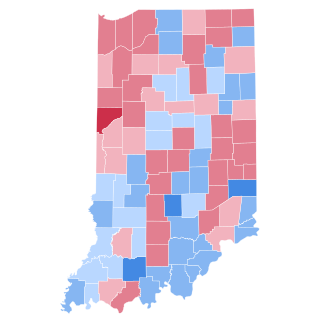
The 1976 United States presidential election in Indiana was held on November 2, 1976. Incumbent President Gerald Ford won the state of Indiana with 53% of the vote, carrying the state's 13 electoral votes. He defeated Democratic candidate Jimmy Carter in Indiana by a margin of 7.62 points.

Five Points is an unincorporated community in Thorncreek Township, Whitley County, in the U.S. state of Indiana.
Five Points is an extinct town that was located in Liberty Township in Warren County, Indiana, on U.S. Route 41.
Five Points is an unincorporated community in Craig Township, Switzerland County, in the U.S. state of Indiana.
Five Points is an unincorporated community in Madison Township, Morgan County, in the U.S. state of Indiana.
The 1916 United States presidential election in Indiana took place on November 7, 1916, as part of the 1916 United States presidential election which was held throughout all contemporary 48 states. Voters chose 15 representatives, or electors to the Electoral College, who voted for president and vice president.

The 1920 United States presidential election in Indiana took place on November 2, 1920, as part of the 1920 United States presidential election which was held throughout all contemporary 48 states. Voters chose 15 representatives, or electors to the Electoral College, who voted for president and vice president.
Five Points is an unincorporated community in Milan Township, Allen County, in the U.S. state of Indiana.

The 2022 Indiana Secretary of State election took place on November 8, 2022, to elect the next secretary of state of Indiana. Holli Sullivan, a Republican who was appointed to replace Connie Lawson as Secretary of State in 2021, ran for a full term in office but was defeated in the Republican primary by Diego Morales. The Democratic, Republican, and Libertarian parties chose their nominees for Secretary of State at a party convention on June 18, 2022.


