Freezywater

Last updated

Freezywater
Freezywater shops (8469249480).jpg
Shops at Freezywater
Greater London UK location map 2.svg
Red pog.svg
Freezywater
Location within Greater London
OS grid referenceTQ361993
London borough
Ceremonial county Greater London
Region
Country England
Sovereign state United Kingdom
Post town ENFIELD
Postcode district EN3
Dialling code 020, 01992
Police Metropolitan
Fire London
Ambulance London
UK Parliament
London Assembly
List of places
UK
England
London
51°40′33″N0°01′50″W / 51.6759°N 0.0306°W / 51.6759; -0.0306

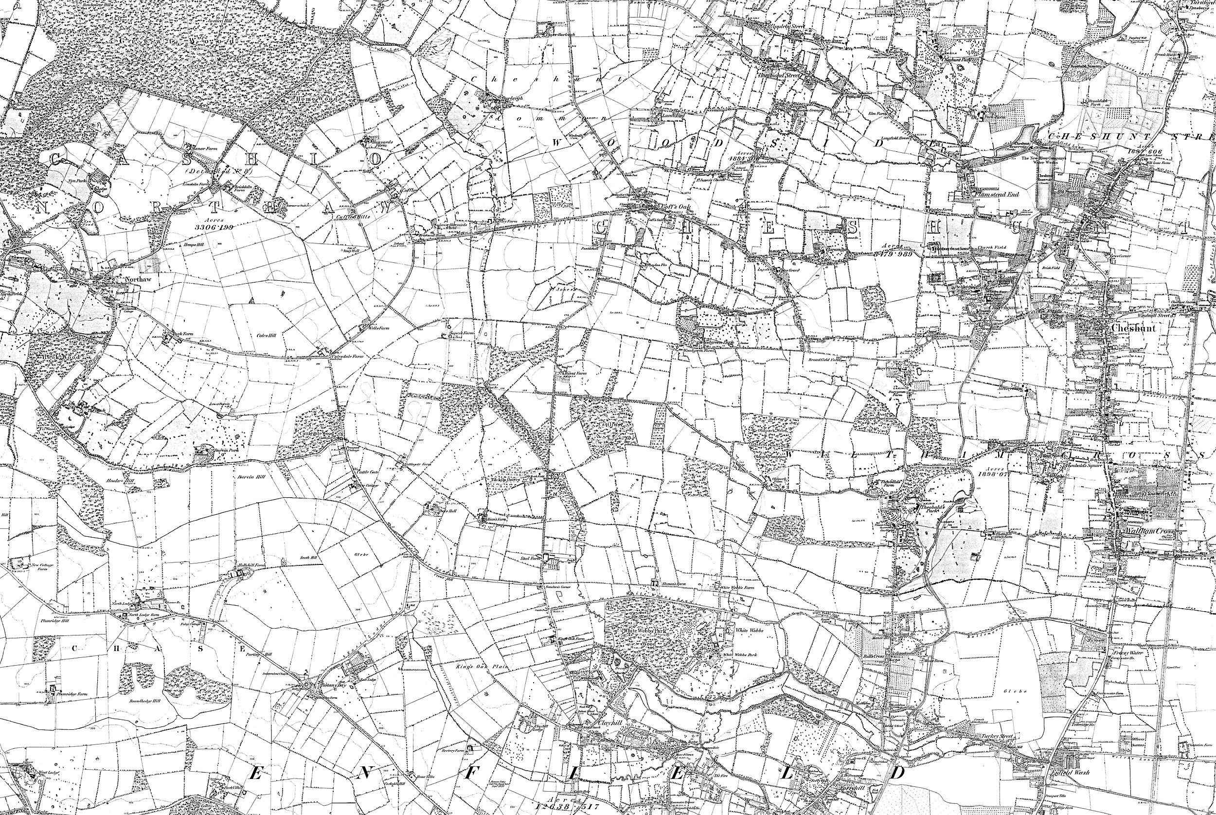
Freezywater is a neighbourhood of the traditional broad definition of Enfield in the London Borough of Enfield, North London. It has a border with Hertfordshire. It is between Bullsmoor to the west, Enfield Lock to the east, Enfield Wash to the south, and Waltham Cross, Hertfordshire to the north. [1] It became more than a hamlet at the beginning of the 20th century.

Contents

Freezywater occupies a zone straddling Hertford Road from its junction with Ordnance Road in the south to Bullsmoor Lane and the Holmesdale Tunnel overpass in the north. It is generally deemed to commence westwards from the Liverpool Street to Cheshunt railway.

Etymology

First recorded as Freezywater (1768) and Freezy Water (1819); the local farm choosing to name itself after its fishpond or duck pond which was liable to freeze. [2]

Local history

Map of Middlesex Sheet 002, Ordnance Survey, 1868-1883.jpg
Freezywater in about 1880. [4] Click for broader map and/or for varied magnification.

For centuries this area was farmed principally by three farms and smallholdings, the greatest being Freezywater Farm which was long one of the manor's tenant farms, the others being Totteridge House and Freezywater House. In the 18th century this was called Freezy Water Farm, and later developments largely informally took on the name until the completion of its church in 1906. [5]

During World War II, Chesterfield School was hit by a V1 flying bomb aimed for the Royal Small Arms Factory, about 1.5 miles (2.4 km) due east of the school. There was one fatality in the grounds, a teacher looking for her school children. [6]

The church of Saint George, a large red-brick gothic building designed by JEK and JP Cutts, was built between 1900 and 1906. A planned tower was never constructed. It replaced a temporary iron church on a site next to it which remained in use as a church hall for many years. [7]

Nearest places

Immediately
Beyond

Nearest railway stations

Schools

Open spaces

Related Research Articles

<span class="mw-page-title-main">London Borough of Enfield</span> London borough in United Kingdom

The London Borough of Enfield is a London borough in North London. It borders the London boroughs of Barnet to the west, Haringey to the south, and Waltham Forest to the southeast. To the north are the districts of Hertsmere, Welwyn Hatfield and Broxbourne, and to the east is Epping Forest District in Essex. The local authority is Enfield London Borough Council. Enfield's population is estimated to be 333,794; the main towns in the borough are Edmonton, Enfield, Southgate and Palmers Green. Enfield is the northernmost London borough.

<span class="mw-page-title-main">Enfield, London</span> Suburb of London

Enfield is a large town in north London, England, 10.1 miles (16.3 km) north of Charing Cross. It had a population of 156,858 in 2018. It includes the areas of Botany Bay, Brimsdown, Bulls Cross, Bullsmoor, Bush Hill Park, Clay Hill, Crews Hill, Enfield Highway, Enfield Lock, Enfield Town, Enfield Wash, Forty Hill, Freezywater, Gordon Hill, Grange Park, Hadley Wood, Ponders End, and World's End.

<span class="mw-page-title-main">Cheshunt</span> Town in Hertfordshire, England

Cheshunt is a town in the Borough of Broxbourne in Hertfordshire, England, 12 miles (19 km) north of Central London on the River Lea and Lee Navigation and directly south of Broxbourne. It contains a section of the Lee Valley Park, including much of the River Lee Country Park. To the north lies Broxbourne and Wormley, Waltham Abbey to the east, Waltham Cross and Enfield to the south, and Cuffley to the west.

<span class="mw-page-title-main">Waltham Abbey</span> Human settlement in England

Waltham Abbey is a town and civil parish in the Epping Forest District of Essex, within the metropolitan and urban area of London, England, 13.5 miles (21.7 km) north-east of Charing Cross. It lies on the Greenwich Meridian, between the River Lea in the west and Epping Forest in the east, with large sections forming part of the Metropolitan Green Belt.

<span class="mw-page-title-main">Enfield Lock railway station</span> National Rail station in London, England

Enfield Lock railway station is on the West Anglia Main Line, it is in Enfield Lock in the London Borough of Enfield, London. It is 11 miles 65 chains (19.0 km) down the line from London Liverpool Street and is situated between Brimsdown and Waltham Cross. Its three-letter station code is ENL and it is in Travelcard zone 6.

<span class="mw-page-title-main">Turkey Street railway station</span> London Overground station

Turkey Street is a London Overground station on the Southbury Loop section of the Lea Valley lines, located in the Bullsmoor area to the north of Enfield in north London. It is 12 miles 16 chains (19.6 km) down the line from London Liverpool Street and is situated between Southbury and Theobalds Grove.

<span class="mw-page-title-main">Broxbourne railway station</span> Network Rail station in Hertfordshire, England

Broxbourne railway station is on the West Anglia Main Line serving the towns of Broxbourne and Hoddesdon in Hertfordshire, England. It is 17 miles 17 chains (27.7 km) down the line from London Liverpool Street and is situated between Cheshunt and Roydon. Its three-letter station code is BXB and it is in fare zone B.

<span class="mw-page-title-main">Waltham Cross railway station</span> National Rail station in Hertfordshire, England

Waltham Cross railway station is on the West Anglia Main Line, serving the suburban town of Waltham Cross in Hertfordshire, and the neighbouring Waltham Abbey in Essex, England. It is 12 miles 63 chains (20.6 km) down the line from London Liverpool Street and is situated between Enfield Lock and Cheshunt. Its three-letter station code is WLC and it is in Travelcard zone 7.

<span class="mw-page-title-main">Waltham Cross</span> Town in Hertfordshire, England

Waltham Cross is a town in the Borough of Broxbourne, Hertfordshire, England, located 12 miles (19 km) north of central London. In the south-eastern corner of Hertfordshire, it borders Cheshunt to the north, Waltham Abbey to the east, and Enfield to the south.

<span class="mw-page-title-main">Edmonton, London</span> District of London, England

Edmonton is a town in north London, England within the London Borough of Enfield, a local government district of Greater London. The northern part of the town is known as Lower Edmonton or Edmonton Green, and the southern part as Upper Edmonton. Situated 8.4 miles (13.5 km) north-northeast of Charing Cross, it borders Enfield to the north, Chingford to the east, and Tottenham to the south, with Palmers Green and Winchmore Hill to the west. The population of Edmonton was 82,472 as of 2011.

Enfield Lock is an area in the London Borough of Enfield, north London. It is approximately located east of the Hertford Road between Turkey Street and the Holmesdale Tunnel overpass, and extends to the River Lee Navigation, including the Enfield Island Village. The locality gains its name from the lock on the River Lee Navigation. Today's Enfield Lock was rebuilt in 1922. The area forms part of the Lee Valley Park and the Enfield Lock Conservation Area. On its eastern boundary Enfield Lock has marshland formerly used as a testing site between the Royal Small Arms Factory and the Gunpowder Mills, beyond this is the village of Sewardstone and the Epping forest boundary. To the south is Brimsdown, the north Waltham Cross and to the west Bullsmoor and Freezywater. Enfield Lock forms part of the London boundary.

<span class="mw-page-title-main">Parks and open spaces in the London Borough of Enfield</span>

The London Borough of Enfield is the northernmost of the Outer London boroughs. The borough lies within the Metropolitan Green Belt, and several of its 123 or more parks and open spaces are part of it. The ancient Enfield Chase, remnants of which still exist, occupied much of the area. In addition to many playgrounds and sports facilities, the main areas of public open space are:

<span class="mw-page-title-main">Enfield Wash</span> Human settlement in England

Enfield Wash is an area in the London Borough of Enfield, North London. It is approximately located in the area either side of Hertford Road between Ordnance Road/Turkey Street and Bell Lane/Hoe Lane.

<span class="mw-page-title-main">Enfield Highway</span> Human settlement in England

Enfield Highway is an area in the London Borough of Enfield, north London. It is roughly located in the area either side of Hertford Road between Hoe Lane and The Ride.

<span class="mw-page-title-main">Lea Valley Walk</span> Long-distance footpath in South East England

The Lea Valley Walk is a 50-mile (80 km) long-distance path located between Leagrave, the source of the River Lea near Luton, and the Thames, at Limehouse Basin, Limehouse, east London. From its source much of the walk is rural. At Hertford the path follows the towpath of the River Lee Navigation, and it becomes increasingly urbanised as it approaches London. The walk was opened in 1993 and is waymarked throughout using a swan logo.

<span class="mw-page-title-main">Small River Lea</span>

The Small River Lea is a minor tributary of the River Lea, which flows through the Lee Valley Park between Cheshunt and Enfield Lock. It forms part of the Turnford and Cheshunt Pits Site of Special Scientific Interest (SSSI) as it flows through the River Lee Country Park.

<span class="mw-page-title-main">A1010 road</span> Road in London, England

51.5976°N 0.0704°W

<span class="mw-page-title-main">Deephams Sewage Treatment Works</span>

Deephams Sewage Treatment Works is a sewage treatment facility close to Picketts Lock, Edmonton, England. The outflow discharges via Pymmes Brook into the River Lee Navigation at Tottenham Lock. The treatment works was upgraded in 2012/13.

St Mary's Church of England High School is a mixed secondary school and sixth form located in Cheshunt, Hertfordshire, England. It is a Church of England school under the direction of the Diocese of St Albans.

Bullsmoor is an area of Enfield, on the outskirts of north London.

References

  1. http://www.enfield.gov.uk/362/Turkey%20Street.pdf%5B%5D Local Government Boundaries Map
  2. Mills, A. D. Oxford Dictionary of London Place Names (2001) p.85 ISBN   0-19-860957-4 Retrieved 22 October 2008
  3. Ordnance Survey, Map of Middlesex Sheet 2, 1868-1883
  4. Ordnance Survey, Map of Middlesex Sheet 2, 1868-1883
  5. http://www.british-history.ac.uk/report.asp?compid=26949 british-history.ac.uk
  6. http://www.bbc.co.uk/ww2peopleswar/stories/40/a7597740.shtml bbc.co.uk
  7. T F T Baker, R B Pugh (Editors), A P Baggs, Diane K Bolton, Eileen P Scarff, G C Tyack (1976). "Enfield: Churches". A History of the County of Middlesex: Volume 5. Institute of Historical Research. Retrieved 27 June 2011.{{cite web}}: |author= has generic name (help)CS1 maint: multiple names: authors list (link)