
Cape Le Grand National Park is a national park in Western Australia, 631 km (392 mi) south-east of Perth and 56 km (35 mi) east of Esperance. The park covers an area of 31,801 hectares The area is an ancient landscape which has been above sea level for well over 200 million years and remained unglaciated. As a result, the area is home to many primitive relict species. Established in 1966, the park is managed by the Department of Parks and Wildlife. The name Le Grand is from one of the officers on L'Espérance, one of the ships in the 1792 expedition of Bruni d'Entrecasteaux.

Hamersley is a residential suburb 14 kilometres north-northwest of the central business district of Perth, the capital of Western Australia, and six kilometres (4 mi) from the Indian Ocean. The suburb adjoins two major arterial roads—Mitchell Freeway to the west and Reid Highway to the south—and is within the City of Stirling local government area. It was built during the late 1960s and 1970s as part of the Government of Western Australia's response to rapidly increasing land prices across the metropolitan area.
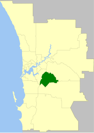
The City of Gosnells is a local government area in the southeastern suburbs of the Western Australian capital city of Perth, located northwest of Armadale and about 20 kilometres (12 mi) southeast of Perth's central business district. The City covers an area of 128 square kilometres (49.42 sq mi), a portion of which is state forest rising into the Darling Scarp to the east, and had a population of approximately 118,000 at the 2016 Census. The largest activity centre in the City is the Central Maddington shopping centre. District centres exist in the Gosnells town centre, Thornlie and Canning Vale.

Leeming is a southern suburb of Perth, Western Australia. It is divided between the three local government areas of the City of Melville, the City of Cockburn (south) and the City of Canning (north-east). It is located approximately 17 kilometres (11 mi) south of the Perth central business district and 13 kilometres (8.1 mi) east of Fremantle.

Yanchep is an outer coastal suburb of Perth, Western Australia, 56 kilometres (35 mi) north of the Perth CBD. It is a part of the City of Wanneroo local government area. Originally a small crayfishing settlement, it was developed by entrepreneur Alan Bond in the 1970s for the 1977 America's Cup. The area covers the urban centre of Yanchep as well as Yanchep National Park in its entirety.

Banksia Grove is a suburb of Perth, Western Australia, located within the City of Wanneroo. Its postcode is 6031, and it was until the late 1990s part of Neerabup. The suburb is approximately 27 km NE of the Perth central business district, 8 km east of the coast and 5 km ENE of Joondalup.
Carramar is a suburb of Perth, Western Australia, located within the City of Wanneroo and it is situated 30 km from the Perth CBD. Its postcode is 6031, and it came into being, together with Tapping to the south, in 1995 as a subdivision of Neerabup.

Clarkson is an outer northern suburb of Perth, Western Australia, located 34 kilometres north of Perth's central business district in the City of Wanneroo.

Wandi is a suburb of Perth, Western Australia in the City of Kwinana at its northern border. The suburb was approved on 14 March 1978.
McDowall is an outer northern suburb in the City of Brisbane, Queensland, Australia. In the 2016 census, McDowall had a population of 7,237 people.
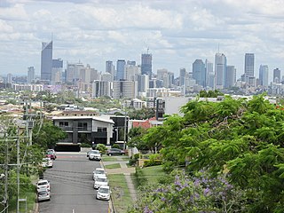
Greenslopes is a suburb in the City of Brisbane, Queensland, Australia. In the 2021 census, Greenslopes had a population of 7,941 people.

The Shire of Murray is a local government area of Western Australia. It has an area of 1,710.1 square kilometres (660.3 sq mi) and is located in the Peel Region about 80 kilometres (50 mi) south of the Perth central business district.

Upper Kedron is a outer north-western suburb in the City of Brisbane, Queensland, Australia. In the 2016 census, Upper Kedron had a population of 4,180 people.

Cullacabardee is a northeastern rural suburb of Perth, the capital city of Western Australia, located 21 km (13 mi) from Perth's central business district via Alexander Drive or Beechboro Road. It is in the City of Swan local government area. Most of the suburb is covered in native sheoak and banksia forest. A small Noongar community is based on Baal Street, a drug rehabilitation retreat is located off Gnangara Road in the suburb's northeast, and the Perth International Telecommunications Centre facility is based in the suburb's northwest.

Twin Waters is a coastal suburb of Maroochydore in the Sunshine Coast Region, Queensland, Australia. In the 2016 census, Twin Waters had a population of 2,687 people.
Mira Mar is a northeastern suburb of Albany, Western Australia, between the Albany city centre and Spencer Park in the local government area of the City of Albany.

Dalyellup,, is an outer northern suburb of the Shire of Capel local government area. The suburb was established in 1999 when the Department of Housing and Works entered into a joint venture with Satterley Property Group to develop Dalyellup Beach Estate, a master-planned community which was expected to yield 3,000 lots by its completion in 2012.
Williams Landing is a suburb in Melbourne, Victoria, Australia, 19 km (12 mi) south-west of Melbourne's Central Business District, located within the City of Wyndham local government area. Williams Landing recorded a population of 9,448 at the 2021 census.

Redwood is a rural locality on the outskirts of Toowoomba in the Toowoomba Region, Queensland, Australia. In the 2016 census, Redwood had a population of 170 people.
Hannans is a residential suburb of Kalgoorlie-Boulder, a city in the Eastern Goldfields region of Western Australia. At the 2016 census it had a population of 2,546 people, up from 2,483 in 2011. Hannans is named after Paddy Hannan, the prospector whose discovery of gold in 1893 led to the initial rush. The name Hannans originally referred to the Kalgoorlie townsite, and it was only much later in the city's history that it was applied to the current suburb.
