Ardagger is a town in the district of Amstetten in Lower Austria in Austria.

Sankt Georgen am Ybbsfelde is a town in the district of Amstetten in Lower Austria in Austria.

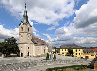
Sankt Georgen am Reith is a town in the district of Amstetten in Lower Austria in Austria.

Au am Leithaberge is a town in the district of Bruck an der Leitha in Lower Austria in Austria.
Maria Laach am Jauerling is a town in the district of Krems-Land in the Austrian state of Lower Austria.
Schönberg am Kamp is a town in the district of Krems-Land in the Austrian state of Lower Austria.
Weinzierl am Walde is a town in the district of Krems-Land in the Austrian state of Lower Austria.
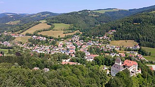
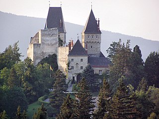
Sankt Leonhard am Forst is a town in the district of Melk in the Austrian state of Lower Austria.
Feistritz am Wechsel is a town in the district of Neunkirchen in the Austrian state of Lower Austria.

Grünbach am Schneeberg is a town in the district of Neunkirchen in the Austrian state of Lower Austria.
Raach am Hochgebirge is a town in the district of Neunkirchen in the Austrian state of Lower Austria.
Schwarzau am Steinfeld is a town in the district of Neunkirchen in the Austrian state of Lower Austria.
Sankt Corona am Wechsel is a town in the district of Neunkirchen in the Austrian state of Lower Austria.

Sankt Egyden am Steinfeld is a town in the district of Neunkirchen in the Austrian state of Lower Austria.

Hof bei Salzburg is a municipality in the district of Salzburg-Umgebung in the state of Salzburg in Austria.
Fels am Wagram is a municipality in the district of Tulln in the Austrian state of Lower Austria.

Kirchberg am Wagram is a municipality in the district of Tulln in the Austrian state of Lower Austria.
Königsbrunn am Wagram is a municipality in the district of Tulln in the Austrian state of Lower Austria.

Sankt Marienkirchen am Hausruck is a municipality in the district of Ried im Innkreis in the Austrian state of Upper Austria.
Dechantskirchen is a municipality in the district of Hartberg-Fürstenfeld in Styria, Austria. At 1. January 2015 it was expanded by a part of the to this date existing immediate neighbor municipality Schlag bei Thalberg within the scope of the Gemeindestrukturreform.


