Related Research Articles

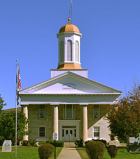
Ralls County is a county located in the northeastern portion of the U.S. state of Missouri. As of the 2010 census, the population was 10,167. Its county seat is New London. The county was organized November 16, 1820 and named for Daniel Ralls, Missouri state legislator.

New London is a city in Ralls County, Missouri, United States. The population was 974 at the 2010 census. It is the county seat of Ralls County.

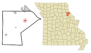
Rensselaer is a village in Ralls County, Missouri, United States. The population was 228 at the 2010 census. It is part of the Hannibal Micropolitan Statistical Area.

Monroe City is a city in Marion, Monroe, and Ralls counties in the U.S. state of Missouri. The population was 2,531 at the 2010 census.

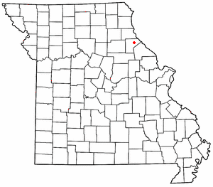
Saverton is an unincorporated community in eastern Ralls County, Missouri, United States. It is located on the Mississippi River, approximately ten miles southeast of Hannibal. Saverton is part of the Hannibal Micropolitan Statistical Area.
Cincinnati is an unincorporated community in Ralls County, in the U.S. state of Missouri.
Greenlawn is an unincorporated community in Ralls County, in the U.S. state of Missouri.
Hassard is an unincorporated community in Ralls County, in the U.S. state of Missouri.
Hatch is an unincorporated community in Ralls County, in the U.S. state of Missouri.
Huntington is an unincorporated community in Ralls County, in the U.S. state of Missouri.
Hutchison is an unincorporated community in Ralls County, in the U.S. state of Missouri.
Hydesburg is an extinct town in Ralls County, in the U.S. state of Missouri.
Joanna is an extinct town in Ralls County, in the U.S. state of Missouri. The GNIS classifies it as a populated place.
Madisonville is an unincorporated community in Ralls County, in the U.S. state of Missouri. The community lies approximately four miles southeast of Center and on the banks of Spencer Creek.
Noonan is an extinct town in Ralls County, in the U.S. state of Missouri.
Sheil is an unincorporated community in Ralls County, in the U.S. state of Missouri.
Spalding is an unincorporated community in Ralls County, in the U.S. state of Missouri.
West Hartford is an unincorporated community in Ralls County, in the U.S. state of Missouri.
Saverton Township is an inactive township in Ralls County, in the U.S. state of Missouri.

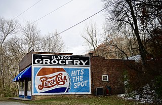
Ilasco Historic District is a national historic district located at Ilasco, Ralls County, Missouri. The district encompasses two contributing buildings and one contributing structure in the unincorporated community of Ilasco. It developed about 1909–1910, and includes a jail, a one-story commercial building with two storefronts, and a Pratt pony truss bridge.
References
- ↑ U.S. Geological Survey Geographic Names Information System: Ilasco, Missouri
- ↑ "Ralls County Place Names, 1928–1945". The State Historical Society of Missouri. Archived from the original on June 24, 2016. Retrieved December 11, 2016.
- ↑ "Post Offices". Jim Forte Postal History. Retrieved 27 November 2016.
- ↑ "National Register of Historic Places Listings". Weekly List of Actions Taken on Properties: 6/06/16 through 6/10/16. National Park Service. 2016-06-17.
- ↑ "City of Dust A Cement Company Town in the Land of Tom Sawyer". University of Missouri Press. Archived from the original on 12 December 2016. Retrieved 12 December 2016.CS1 maint: BOT: original-url status unknown (link)
Coordinates: 39°40′17″N91°18′39″W / 39.6714346°N 91.3107020°W
| This Ralls County, Missouri state location article is a stub. You can help Wikipedia by expanding it. |
