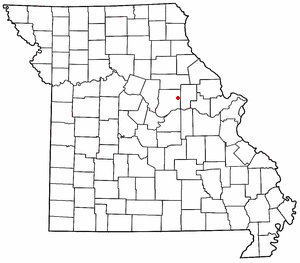
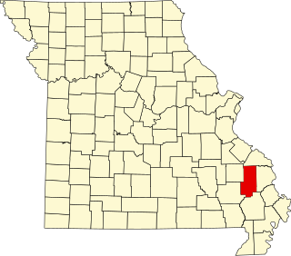
Almartha is an unincorporated community in northern Ozark County, Missouri, United States. It is located approximately thirteen miles north of Gainesville and four miles southeast of Wasola on Route 95. The village is located in a valley on a tributary of Spring Creek. Several homes are located there. The old mill and current fish hatchery of Rockbridge lies downstream on Spring Creek, about six miles to the east.
Willhoit is an unincorporated community in Ozark County, Missouri, United States. It is located approximately eight miles north of Gainesville, just east of Route 5 on a county road. The community lies in a valley at the junction of Ludecker and Barren Fork Creeks.
Romance is an unincorporated community in Ozark County, Missouri, United States. It is located approximately nine miles north of Gainesville. Romance is located in a valley at the confluence of two smaller streams with Ludecker Creek. It lies on state route Y, 2 miles (3.2 km) east of Missouri Route 5 and 2.3 miles (3.7 km) north of Willhoit. The Romance fire tower sits atop a knob at 1,490 feet (450 m), about 2.5 miles east.
Bruner is an unincorporated community in northeast Christian County, Missouri, United States. It is located approximately five miles east of Sparta and two miles west of Elkhead along Route 14. Bruner is part of the Springfield, Missouri Metropolitan Statistical Area.

Sherrill is an unincorporated community in northern Texas County, Missouri, United States. It is located approximately six miles north of Licking and is located just west of U.S. Route 63. Sherrill Creek flows past the north side of the community. The community of Beulah lies about 2.5 miles northwest on Sherrill Creek in Phelps County.
Berryman is an unincorporated community on the border between Crawford and Washington counties in the U.S. state of Missouri. Located along Route 8, it lies in the Mark Twain National Forest, approximately sixteen miles west of Potosi. Courtois Creek flows under Route 8, just west of the village. Berryman Recreation Area and trail lie to the northeast of the village.

Williamsburg is an unincorporated community in eastern Callaway County, Missouri, United States. It is located on Missouri Supplemental Route D just north of Interstate 70, approximately thirteen miles northeast of Fulton. The Whetstone Creek Conservation Area along Whetstone Creek lies about one mile to the north. The ZIP Code for Williamsburg is 63388.
Big Sugar Creek is a 47-mile-long (76 km) waterway in the Ozark Mountains of southwest Missouri. The creek starts near the Arkansas state line. Big Sugar starts from three tributaries. One flows north from Garfield, Arkansas, and one, west near Seligman, Missouri, and another, south from Washburn, Missouri. Big Sugar flows west down Sugar Creek Valley, where in the Jacket community it is joined by Otter Creek, from Pea Ridge, Arkansas.
Wolf is a historic agricultural community in the western part of Nevada County. It lies about 12 miles south of Grass Valley at an elevation of 1578 feet. It is centered around the intersection of present day Wolf and Garden Bar roads.

Sank is an unincorporated community in the south-central part of Liberty Township in Bollinger County, Missouri, United States. The community is accessed via a county road, one mile north of Missouri Route 51. The confluence of Clubb and Hawker creeks lies just to the southwest of the location and the Sank State Wildlife Area is located along the south side of Route 51 and Hawker Creek. Zalma lies four miles to the southwest and Dongola is three miles east. Marble Hill is about nine miles to the north-northeast along Route 51.

Rucker is an unincorporated community in the northwest corner of Boone County, Missouri, United States. The community is located at the intersection of Missouri routes T and F about 6.5 miles north of Harrisburg. The site lies between Perche Creek and Sugar Creek.
Dayton is an unincorporated community in southeast Cass County, in the U.S. state of Missouri. Garden City is five miles north along Missouri Route F and Creighton lies 6.5 miles east along Missouri Route B. The Settles Ford Conservation Area along the South Grand River lies to the southeast. The community lies atop a ridge between Sugar Creek to the west and Lick Branch to the east. It is part of the Kansas City metropolitan area.
Merritt is an unincorporated community in southwestern Douglas County, Missouri, United States. Merritt is located west of Goodhope on Missouri Route T in the Little Beaver Creek valley.
Swan Creek is a stream in the Ozarks of southern Missouri. It is a tributary of the White River downstream from the Lake Taneycomo dam.
Plum Valley is an extinct town in west central Texas County, in the U.S. state of Missouri. The GNIS classifies it as a populated place. The community lies near the East Fork of Roubidoux Creek, approximately one mile west of Missouri Route 17 and 3.5 miles west of Bucyrus.
Riverdale is an unincorporated community in western Christian County in southern Missouri, United States. The community lies on Finley Creek, approximately four miles southwest of Ozark and two miles east of the Christian - Stone county line. U.S. Route 160 is about one-half mile southwest of the site. The Finley is dammed at Riverdale.
Ongo is an unincorporated community in northwestern Douglas County, Missouri, United States. Ongo is located on Missouri Route UU, on the north bank of Swan Creek. The Douglas-Christian county line is approximately one mile to the west. Missouri Route 14 is about two miles to the north and Honey Branch Cave, about one mile north.
Hest is an unincorporated community in Douglas County, Missouri, United States.
Pansy, Missouri is a community and former post office in western Douglas County in the U.S. State of Missouri.
Keyger Mountain is an irregular mountain ridge in Douglas and Christian counties in the Ozarks of southern Missouri.


