Horn is a small town in the Waldviertel in Lower Austria, Austria and the capital of the district of the same name.

Wolfurt is a municipality in the western Austrian state of Vorarlberg.

Weiz is a town in the eastern part of the Austrian state of Styria.
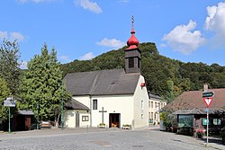
Gutenstein is a market town in Wiener Neustadt-Land in the Austrian state of Lower Austria.

Bezirk Baden is a district of the state of Lower Austria in Austria.

Bildstein is a municipality in the district of Bregenz in the Austrian state of Vorarlberg.

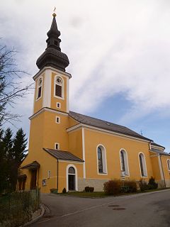
St. Valentin is the most westerly town in the district of Amstetten in Lower Austria in Austria.

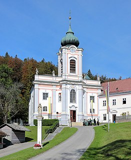
Herzogenburg is a town in the district of Sankt Pölten-Land in the Austrian state of Lower Austria.
Ober-Grafendorf is a municipality in the district of Sankt Pölten-Land in the Austrian state of Lower Austria.
Traismauer is a municipality in the district of Sankt Pölten-Land in Lower Austria, Austria. It was established by the Romans, probably on a location of prior settlements. Some Roman buildings survive to this day.
Leopoldsdorf is a municipality in the district of Bruck an der Leitha in the Austrian state of Lower Austria.

Bad Erlach is a municipality in the district of Wiener Neustadt-Land in the Austrian state of Lower Austria.

Bludesch is a municipality in the district of Bludenz in the Austrian state of Vorarlberg.

Dalaas is a municipality in the district of Bludenz in the Austrian state of Vorarlberg.

Lorüns is a municipality in the district of Bludenz in the Austrian state of Vorarlberg.
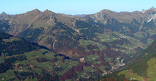
Sonntag is a municipality in the district of Bludenz in the Austrian state of Vorarlberg.
Altschwendt is a municipality in the district of Schärding in the Austrian state of Upper Austria.

Frankenmarkt is a municipality in the district of Vöcklabruck in the Austrian state of Upper Austria.

Schwanenstadt is a town in the district of Vöcklabruck in the Austrian state of Upper Austria.

Bad Waltersdorf is a municipality in the district of Hartberg-Fürstenfeld in Styria, Austria.