Related Research Articles

Everton is a small rural village of about 200 dwellings and civil parish in the Central Bedfordshire district of Bedfordshire, England about 9 miles (14 km) east of the county town of Bedford.

Kelmarsh is a village and civil parish in the Daventry district of Northamptonshire, England. The population of the civil parish at the 2011 Census was 208. The village is on the A508, close to its junction with the A14 about 5 miles (8 km) south of Market Harborough and 11 miles (18 km) north of Northampton.

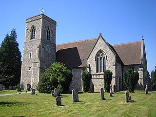
Holwell is a small village and a civil parish two miles north of Hitchin in Hertfordshire, England, near the Bedfordshire border. At the 2011 Census the population of the village was 362. The church is unusual and, although largely rebuilt, retains some Perpendicular features and an interesting brass to Richard Wodehouse. The school, almshouses, and rectory are all in a similar Tudor style erected in the 1830s, but are no longer in use and have been converted into housing. Fragments of early wall paintings and wooden mullioned windows have been discovered in the mediaeval timber-framed Church Farmhouse.
Lilley is a small village and civil parish situated between Hitchin and Luton in Hertfordshire, England. Lilley stands on high ground: nearby Telegraph Hill is just over 600 feet above sea level.

Tilbrook is a village and civil parish in Cambridgeshire, England. Tilbrook lies approximately 10 miles (16 km) west of Huntingdon, near Covington. Tilbrook is situated within Huntingdonshire which is a non-metropolitan district of Cambridgeshire as well as being a historic county of England, although Tilbrook belongs historically to Bedfordshire.
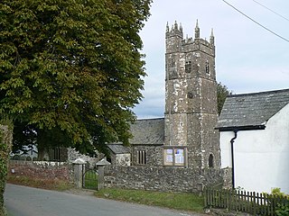
Ashwater is a village and civil parish in the Torridge district of Devon, England. According to the 2001 census it had a population of 651 that had risen to 673 by the 2011 census. It is close to the Cornish border, and is about 10 miles north of Launceston.
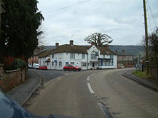
Wyboston is a village in the English county of Bedfordshire. The eastern part of the village is dominated by the A1 Great North Road which at this point also carries the traffic of the A428 east–west road. The northern junction of these roads is grade-separated, while the southern junction is a roundabout. This causes frequent delays at the junction, and to users of both routes.

Souldrop is a small village in Bedfordshire, located near the border with Northamptonshire. Nearby places are, Sharnbrook, Podington, Odell, Melchbourne, Yielden, Knotting, and Newton Bromswold and Rushden over the border in Northamptonshire. It is in the civil parish of Knotting and Souldrop.
Hurstbourne Tarrant is a village and civil parish in Hampshire, England. It lies to the north of the county in the Test Valley. The Tarrant part of the name originates from 1226, when the village was given to the Cistercian Tarrant nunnery. The civil parish includes the village of Ibthorpe.
Gosford and Water Eaton is a civil parish in the Cherwell district of the county of Oxfordshire, England. It is north of the city of Oxford and is crossed nearby by two major roads for, or by-passing, the city. The parish contains the village of Gosford and the hamlet of Water Eaton and as at the 2011 census had 1373 people resident across its 8.75km².

Willington is a village and civil parish located in the English county of Bedfordshire. It is west of Moggerhanger on the road from Sandy to Bedford. The village is recorded in the Domesday Book as Welitone and as Wilitona in c. 1150, from Old English tun (homestead) among the willows, and is part of the ancient hundred of Wixamtree.

Chart Sutton is a civil parish and small village on the edge of the Weald of Kent, England. It lies approximately 5 miles (8 km) to the south of Maidstone.

Earith is a village and civil parish in Cambridgeshire, England. Earith lies approximately 10 miles (16 km) east of Huntingdon. Earith is situated within Huntingdonshire which is a non-metropolitan district of Cambridgeshire as well as being a historic county of England. At Earith, two artificial diversion channels of the River Great Ouse, the Old Bedford River and the New Bedford River, leave the river on a course to Denver Sluice near Downham Market, where they rejoin the Great Ouse in its tidal part. At the 2001 census, the parish had a population of 1,677, reducing to 1,606 at the 2011 Census.

Hunsdon is a village and civil parish in Hertfordshire, England. It is around 5.5 miles (9 km) east of Ware and 5 miles (8 km) north-west of Harlow. The population of the village taken at the 2011 Census was 1,080.

Clayhanger is a hamlet and civil parish in the Mid Devon district of Devon, England. At the time of the 2011 census it had a population of 127.
Ireland is a hamlet in the civil parish of Southill, Bedfordshire, England.

Knotting is a small village in Bedfordshire, located near the border with Northamptonshire. Nearby places are, Sharnbrook, Podington, Odell, Melchbourne, Yielden, Newton Bromswold, Souldrop and Rushden over the border in Northamptonshire.
Begwary is a small hamlet in the parish of Staploe in the Borough of Bedford, Bedfordshire, England.

Upper Staploe is a hamlet located in the Borough of Bedford in the county of Bedfordshire, England. The settlement is close to Honeydon and Staploe, and forms part of the Staploe civil parish. Upper Staploe lies close to the county border with the Huntingdonshire district of Cambridgeshire.

Wethersfield is a village and a civil parish on the B1053 road in the Braintree district of Essex, England. It is near the River Pant. Wethersfield has a school, a social club, a fire station and one places of worship. Nearby settlements include the town of Braintree and the village of Finchingfield. The village probably gets its name from a Viking invader named Wuthha or Wotha, whose "field" or clearing it was. Reverend Patrick Brontë, father of the Brontë sisters, was a young curate here in 1807, as was the Rev. John West, missionary to Canada, who married Harriet Atkinson here in 1807.
References
- ↑ "Civil Parish population 2011". Neighbourhood Statistics. Office for National Statistics. Retrieved 9 November 2016.
- ↑ "Ordnance Survey Election Maps". www.ordnancesurvey.co.uk. Ordnance Survey. Retrieved 3 April 2016.
| This Bedfordshire location article is a stub. You can help Wikipedia by expanding it. |