Kyunsu Township

Last updated
Kyunsu Township
ကျွန်းစုမြို့နယ်
Kanmaw Township
Kyunsu tsp in Myeik district.svg
Location in Myeik district
Myanmar location map.svg
Red pog.svg
Kyunsu Township
Location in Burma
Coordinates: 11°48′6″N98°31′32″E / 11.80167°N 98.52556°E / 11.80167; 98.52556 Coordinates: 11°48′6″N98°31′32″E / 11.80167°N 98.52556°E / 11.80167; 98.52556
Country Flag of Myanmar.svg  Burma
Region Taninthayi Region
District Myeik District
Capital Kyunsu
Area
  Total3,137 km2 (1,211 sq mi)
Population
 (2014)
171,753
Time zone UTC+6.30 (MST)

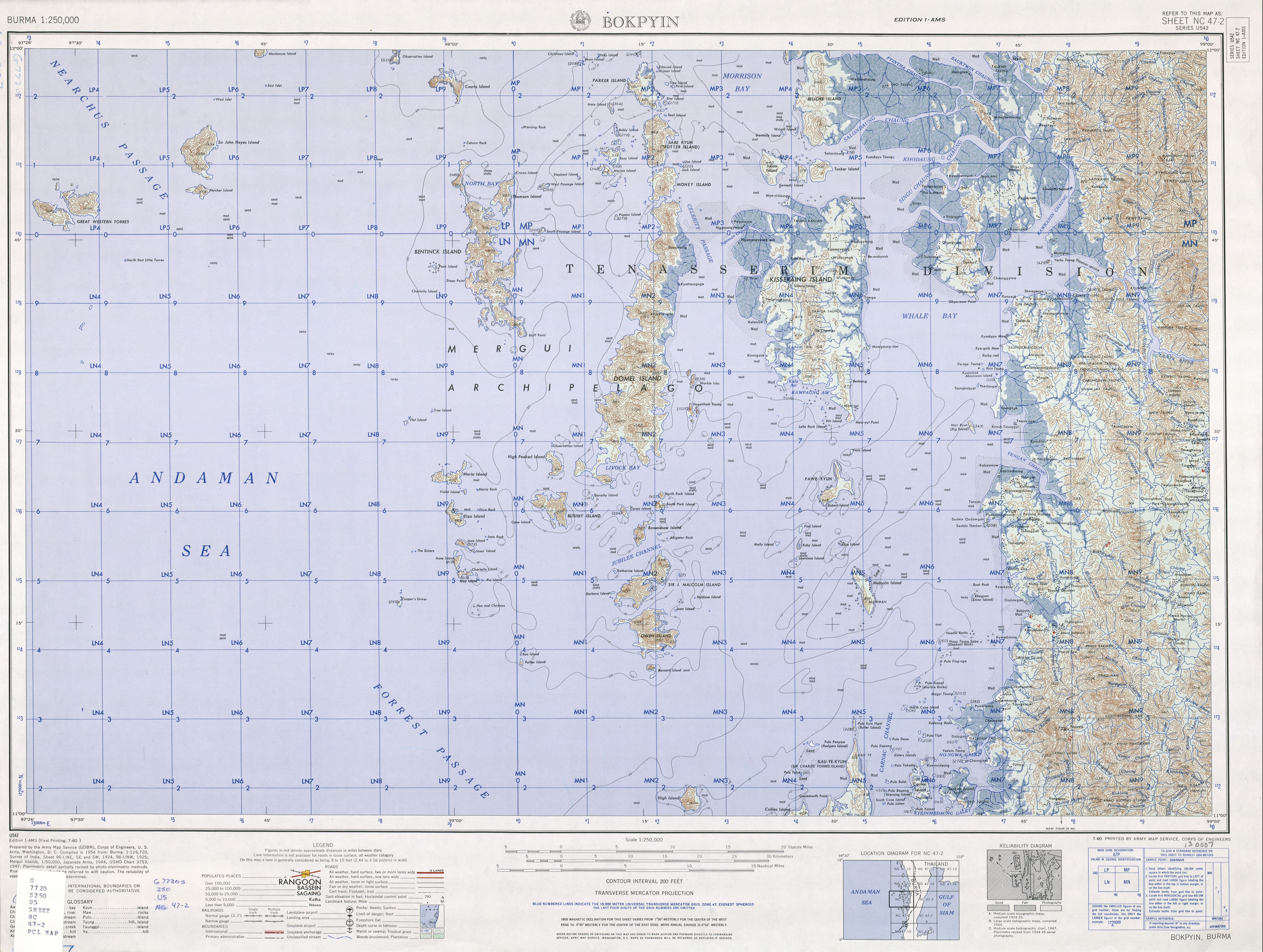
Kyunsu or Kanmaw Township is a township of Myeik District in the Taninthayi Division of Myanmar. The principal town is Kyunsu (older name Kanmaw [1] ). The township constitutes much of the Mergui Archipelago to the west, northwest and southwest of the city of Mergui (Myeik). [2] The main town is located on the north-east coast of Kanmaw Island to the southwest of Mergui city. [3] [4]

Contents

History

Kyunsu Township was created out of Mergui Township in 1990, [5] the remainder of which became Myeik Township.

Related Research Articles

<span class="mw-page-title-main">Mergui Archipelago</span> Archipelago in far southern Myanmar

The Mergui Archipelago is located in far southern Myanmar (Burma) and is part of the Tanintharyi Region. It consists of more than 800 islands, varying in size from very small to hundreds of square kilometres, all lying in the Andaman Sea off the western shore of the Malay Peninsula near its landward (northern) end where it joins the rest of Indochina. They are occasionally referred to as the Pashu Islands because the Malay inhabitants are locally called Pashu.

<span class="mw-page-title-main">Myeik, Myanmar</span> City in Tanintharyi Region, Myanmar

Myeik is a rural city in Tanintharyi Region in Myanmar (Burma), located in the extreme south of the country on the coast off an island on the Andaman Sea. As of 2010, the estimated population was over 209,000. Myeik is the largest city in Tanintharyi Region, and serves as the regional headquarters of Myanmar Navy's Tanintharyi Regional Command. The area inland from the city is a major smuggling corridor into Thailand. The Singkhon Pass, also known as the Maw-daung Pass, has an international cross-border checkpoint.

Tanintharyi or Taninthayi is a small town in Taninthayi Township, Myeik District, in the Tanintharyi Region of south-western Myanmar. It is the administrative seat for the township. The town is located on the Great Tenasserim River which eventually enters the sea at Myeik. The town is located at the confluence of this river and a tributary known as the "Little Tenasserim River" which runs south.

Myeik may refer to:

<span class="mw-page-title-main">Kawthaung</span> Town in Tanintharyi Region, Myanmar

Kawthaung is a border town located in the southernmost part of Myanmar, in the Tanintharyi Region. During British rule in Burma between 1824 and 1948, it was known as Victoria Point. As of 2021, it has a population of 57,949. Facing Ranong in Thailand, Kawthaung is one of 7 officialborder trade posts with Thailand.

<span class="mw-page-title-main">Tanintharyi Region</span> Region of Myanmar

Tanintharyi Region is an administrative region of Myanmar, covering the long narrow southern part of the country on the upper Malay peninsula, reaching to the Kra Isthmus. It borders the Andaman Sea to the west and the Tenasserim Hills, beyond which lie Thailand, to the east. To the north is the Mon State. There are many islands off the coast, the large Mergui Archipelago in the southern and central coastal areas and the smaller Moscos Islands off the northern shores. The capital of the division is Dawei (Tavoy). Other important cities include Myeik (Mergui) and Kawthaung. The division covers an area of 43,344.9 square kilometres (16,735.6 sq mi), and had a population of 1,406,434 at the 2014 Census.

<span class="mw-page-title-main">Myeik Township</span> Township in Taninthayi Region, Burma

Myeik Township is a township of Myeik District in the Taninthayi Division of Myanmar. The principal town is Myeik.

<span class="mw-page-title-main">Tanintharyi Township</span> Township in Taninthayi Region, Myanmar

Taninthayi Township is a township of Myeik District in the Taninthayi Division of Myanmar. The principal town is Taninthayi.

<span class="mw-page-title-main">Palaw Township</span> Township in Taninthayi, Burma

Palaw Township is a township of Myeik District in the Taninthayi Region of Burma (Myanmar). The principal town and administrative seat is Palaw. Second in importance is the town of Palauk.

<span class="mw-page-title-main">Tourism in Myanmar</span>

Tourism in Myanmar is a developing sector. As at February 2022, new tourist visa applications continue to be suspended. Although Myanmar possesses tourist potential, much of the industry remains to be developed. The number of visitors to Burma is small compared to its neighbouring countries. This is primarily due to its political situation. However, after the junta transferred power to the civilian government, the tourism sector saw an increase in tourism arrivals, and in 2012, tourist arrivals surpassed the one million mark for the first time. In 2013, the Tourism Master Plan was created, targeting 7.5 million arrivals by 2020.

<span class="mw-page-title-main">Great Tenasserim River</span> River in Burma

The Great Tenasserim River or the Tanintharyi River is a major river of southeastern Burma. It flows through the Tanintharyi Region, past the town of Tanintharyi, and enters the sea at Myeik (Mergui). The river rises from the Tenasserim Range at an altitude of 2,074 m (6,804 ft), and flows into the Andaman Sea. The region formed by this river is also known as Tenasserim, or Tanintharyi in Burmese. It is in a constricted coastal region in southeastern Myanmar, which borders Thailand on the east and the Andaman Sea on the west.

<span class="mw-page-title-main">Hkamti Township</span> Township in Sagaing Region, Burma

Hkamti Township or Khamti Township is a township in Hkamti District in the Sagaing Region of Burma (Myanmar). The principal town is Hkamti. As of 2014 the township had a population of 47,658 people and covered an area of 8,174 square kilometres (3,156 sq mi). The township is dominated by the Chindwin River and its tributaries as well as thickly forested areas. Nearly half the active working population are employed in agriculture, forestry or fishing. The township is a producer of rice and has gold and jade reserves.

<span class="mw-page-title-main">Pakokku Township</span> Township in Magway Division, Burma

Pakokku Township is a township of Pakokku District in Magway Division of Burma (Myanmar). The principal town and administrative seat is Pakokku. The township has its eastern and southeastern border along the Irrawaddy where its principal town, Pakokku, is a port. The Yaw River forms the township's southwest border. There is a commercial airport at Lanywa (Lan).

<span class="mw-page-title-main">Kyunsu</span> Town in Tanintharyi Region, Myanmar

Kyunsu, better known as Kanmaw, is a small town in the Mergui Archipelago of south-eastern Burma. It is the principal town of Kyunsu Township in Myeik District which since 1990 has covered much of the archipelago. The town lies on the north-eastern coast of Kanmaw Kyun, south-west of Myeik (Mergui).

Kanmaw may refer to:

<span class="mw-page-title-main">Kanmaw Kyun</span>

Kanmaw Kyun or Kanmaw Island is an island in the Andaman Sea along the coast of southeastern Burma (Myanmar), and is part of the Mergui Archipelago. Administratively, it is located in Kyunsu Township, Myeik District, in the Taninthayi Region. On the northeastern side of the island is the town of Kyunsu, which is the administrative seat for the township. The island covers a total area of 409 km2.

<span class="mw-page-title-main">Kat kyi kaik</span>

Kat kyi kaik, also specifically called Myeik kat kyi kaik (မြိတ်ကတ်ကြေးကိုက်), is a spicy Burmese fried noodle dish associated with the coastal town of Myeik in Southern Myanmar.

The Myeik dialect, also known as Beik in Burmese, Mergui and Merguese in English, and Marit (มะริด) in Thai, is a divergent dialect of Burmese, spoken in Myeik, the second largest town in Tanintharyi Region, the southernmost region of Myanmar. Myeik shares many commonalities with the Tavoyan dialect, although there are substantial differences especially with regard to phonology.

<span class="mw-page-title-main">Thein Daw Gyi Pagoda</span>

Thein Daw Gyi Pagoda is a Buddhist pagoda in Myeik, Tanintharyi Region, Myanmar. The pagoda is the largest pagoda in Myeik and is a popular tourist attraction. Thein Daw Gyi pagoda was situated over (280) years since Myanmar year (1093). We can play the historical Thailand pagoda, Buddha culture museum, Buddha Library and preach abode. And then we can enjoy sunset, natural overview of Myeik and we can play Marhar Atula Yanthi from Thein Daw Gyi Pagoda. The pagoda was built between 1772 and 1778.

<span class="mw-page-title-main">Paw Taw Mu Pagoda</span> Buddhist pagoda in Myeik, Myanmar

Paw Daw Mu Pagoda is a Buddhist pagoda in Myeik, Tanintharyi Region, Myanmar. The largest pagoda in Myeik, it is a popular tourist attraction. The original stupa was said to have been built in the 6th century BC during the time of Buddha and contains his relics.

References

  1. "Burma 1:250,000 topographic map, Series U542, Bokpyin NC 47-2" U.S. Army Map Service, July 1960
  2. Kyunsu Township (PDF) (Map). Myanmar Information Management Unit. Archived from the original (PDF) on July 22, 2011. Retrieved November 13, 2010.
  3. Google Maps (Map). Google.
  4. Bing Maps (Map). Microsoft and Harris Corporation Earthstar Geographics LLC.
  5. Südostasien Aktuell (Journal of current southeast Asian affairs) volume 18 page 199, in German