External links
- Rowlett, Russ. "The Lighthouse Directory". University of North Carolina at Chapel Hill.
| Types |
|  | ||||
|---|---|---|---|---|---|---|
| Fixtures | ||||||
| Maintenance | ||||||
| Locations | ||||||
| Categories | ||||||
| Global organizations | ||||||
This is a list of lighthouses in Suriname . [1]
| Name | Image | Year built | Location & coordinates (*) | Status | Tower height | NGA number | Admiralty number | ARLHS number |
|---|---|---|---|---|---|---|---|---|
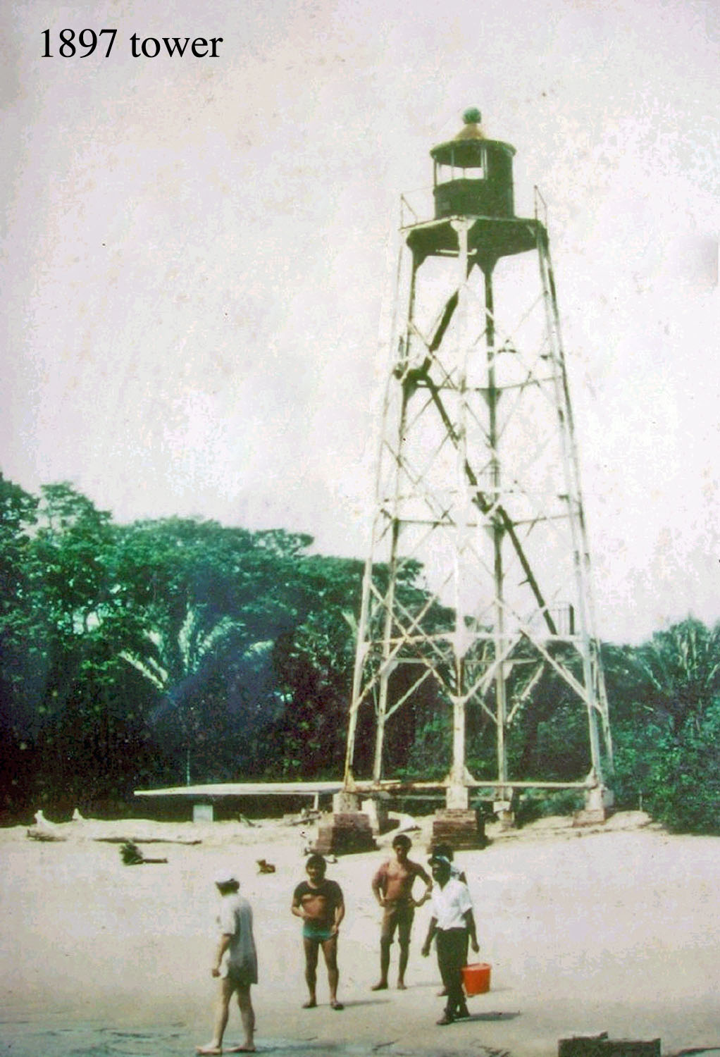
| Hoek Galibi Lighthouse | Image | 1871 est. | Galibi 5°44′44.2″N53°49′22.6″E / 5.745611°N 53.822944°E | inactive since 2012 | 60 metres (200 ft) | ex-17400 | ex-J6882 | SUR-001 |
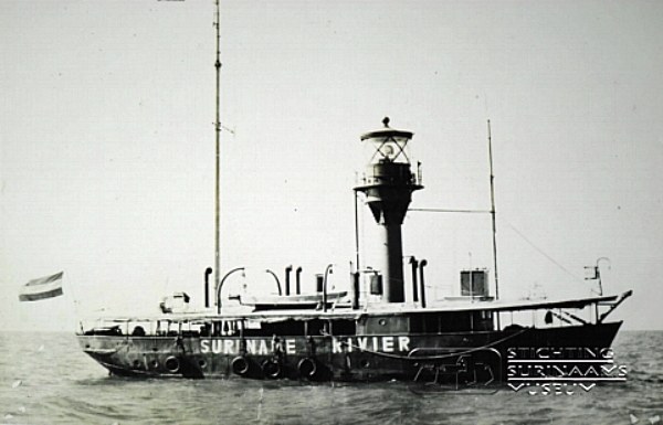
| Lightship Suriname 1 (Riviere) | Image | 1911 | Paramaribo District 5°53′22.9″N55°05′28.6″W / 5.889694°N 55.091278°W | decommissioned in 1972, permanently moored in the Fort Nieuw-Amsterdam Open-Air Museum. [2] | n/a | n/a | n/a | SUR-004M |
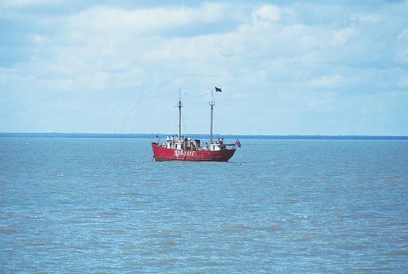
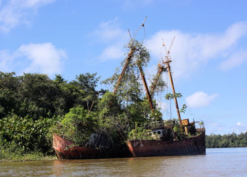
| Lightship Suriname 2 | Image | 1923 | Paramaribo District 5°31′42.8″N55°02′43.8″W / 5.528556°N 55.045500°W | decommissioned in 1981 | 40.3 metres (132 ft) | n/a | n/a | n/a |
| Lightship Suriname 3 | Image | 1923 | Paramaribo District 5°31′42.8″N55°02′43.8″W / 5.528556°N 55.045500°W | decommissioned in 1981 | 40.3 metres (132 ft) | n/a | n/a | n/a |
| Nickerie Rivier Lighthouse | Image | n/a | Nieuw Nickerie 5°57′39.9″N57°01′05.2″W / 5.961083°N 57.018111°W | inactive since 2011 | 21 metres (69 ft) | ex-17356 | ex-J6866 | SUR-005 |
(*) Lightship coordinates after decommissioned
| Types |
| | ||||
|---|---|---|---|---|---|---|
| Fixtures | ||||||
| Maintenance | ||||||
| Locations | ||||||
| Categories | ||||||
| Global organizations | ||||||