The List of windmills is a link page for any windmill or windpump.
Contents
- Africa
- South Africa
- Asia
- Indonesia
- Israel
- Japan
- Syria
- Taiwan
- Thailand
- Oceania
- Australia
- New Zealand
- Europe
- Austria
- Belarus
- Belgium
- Bulgaria
- Czech Republic
- Denmark
- Estonia
- Finland
- France
- Germany
- Greece
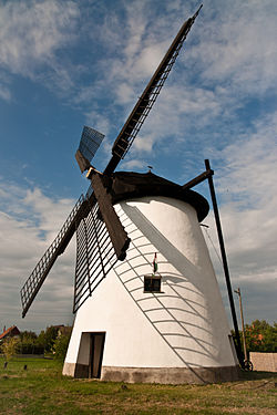
- Hungary
- Ireland
- Italy
- Latvia
- Lithuania
- Malta
- Netherlands
- Poland
- Portugal
- Romania
- Russia
- Slovakia
- Spain
- Sweden
- Turkey
- Ukraine
- United Kingdom
- North America
- Antigua
- Barbados
- Canada
- Guadeloupe
- Saint Kitts and Nevis
- United States
- South America
- Brazil
- Uruguay
- References
- See also