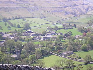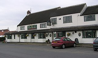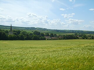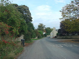
Boston Spa is a village and civil parish in the City of Leeds in West Yorkshire, England. Situated 3 miles (5 km) south of Wetherby, Boston Spa is on the south bank of the River Wharfe across from Thorp Arch. According to the 2001 census, the parish had a population of 4,006 rising to 4,079 in the 2011 census.

Whitkirk is a suburb of east Leeds, England. It is situated between Cross Gates to the north, Austhorpe to the east, Killingbeck to the west, Colton to the south-east and Halton to the south-west. The Temple Newsam estate lies directly south of the area.

Austhorpe is a civil parish and residential suburb of east Leeds, West Yorkshire, England. It is 5 miles (8.0 km) to the east of city centre and close to the A6120 dual carriageway and the M1 motorway.

Arncliffe is a small village and civil parish in Littondale, one of the Yorkshire Dales in England. Littondale is a small valley beside Upper Wharfedale, 3 miles (4.8 km) beyond Kilnsey and its famous crag. It is part of the Craven district of the non-metropolitan county of North Yorkshire, but is in the historic West Riding of Yorkshire. The population of the civil parish was estimated at 80 in 2015.
Langtoft is a small village and civil parish in the East Riding of Yorkshire, England. It is situated 6 miles (10 km) north of Driffield town centre, and on the B1249 road between Driffield and Foxholes.

Birkby is a village and civil parish about 6 miles north of the county town of Northallerton in the Hambleton district of North Yorkshire, England. The population of the parish was estimated at 40 in 2016.

Seamer is a village and civil parish in the Scarborough district of North Yorkshire, England. It was the location of the Mesolithic Age settlement of Star Carr.

Great Smeaton is a village and civil parish in North Yorkshire, England. It lies on elevated ground near the River Wiske, which is a tributary of the River Swale. The parish population at the 2011 census was 187.

East Cowton is a village and civil parish in the Hambleton District of North Yorkshire, England. It is 7 miles (11 km) north west of the county town of Northallerton.

Hornby is a village and civil parish in the Hambleton district of North Yorkshire, England. It lies on a minor road between Great Smeaton and Appleton Wiske.

Halton West is a village and civil parish in the Craven district of North Yorkshire, England. North Yorkshire County Council estimated the population in 2015 at 70. It is situated on the River Ribble and is 7 miles (11 km) north of Barnoldswick, 7 miles (11 km) south of Settle and 12 miles (19 km) west of Skipton.

High Worsall is a hamlet and civil parish in North Yorkshire, England. It is near Low Worsall and 4 miles (6.4 km) west of Yarm. The population of the parish was estimated at 40 in 2010. The population remained at less than 100 at the 2011 Census, so details were included in the civil parish of Low Worsall. However, in 2015, North Yorkshire County Council estimated the hamlet to have 40 people living there in 2015.

Seamer is a village and civil parish in the Hambleton district of North Yorkshire, England, near the border with the Borough of Stockton-on-Tees and 2 miles (3 km) northwest of Stokesley. According to the 2011 census, the population of the village was 566, which North Yorkshire County Council estimated had dropped to 560 by 2015.

Middleton Quernhow is a settlement and civil parish in North Yorkshire, England. The parish is included in the Wathvale Ward with a population of 3,479. North Yorkshire County Council estimated that the population of the parish was 60 in 2015. It is very near the A1(M) road and is 4 miles (7 km) north of Ripon.

Wintringham is a village and civil parish in North Yorkshire, England. The village is near the A64 road and 6 miles (9.7 km) east of Malton.

Markenfield Hall is an early 14th-century moated manor house about 3 miles (5 km) south of Ripon, North Yorkshire, England. It is in the civil parish of Markenfield Hall, which in 2015 had an estimated population of 10. The estate was an extra parochial area in the wapentake of Burghshire. It was made a civil parish in 1858. On 11 November 2011 the parish was renamed to Markenfield Hall. It was part of the West Riding of Yorkshire until 1974, when under the Local Government Act 1972 it became part of the new county of North Yorkshire. It is part of the Borough of Harrogate.

Kirk Smeaton is a village and civil parish in North Yorkshire, England. It is located at the southern end of the county, close to South Yorkshire and East Riding of Yorkshire. Historically, the village was part of the West Riding of Yorkshire until 1974.

Little Smeaton is a village and civil parish in North Yorkshire, England. The population of the parish at the 2011 Census was 283. It is next to Kirk Smeaton, and the River Went flows through it. It was historically part of the West Riding of Yorkshire until 1974.

Horton, historically known as Horton-in-Craven, is a village and a civil parish in the Ribble Valley district of the English county of Lancashire. Population details are now included in the civil parish of Newsholme. It is near the town of Barnoldswick. Horton has a place of worship, anciently called a chapelry or chapel of ease. For transport, there is the A59 nearby.
Thwaite is a common element of placenames in North West England, and Yorkshire. It is also found elsewhere in England, including two places called Thwaite in Norfolk and one in Suffolk. It is most often found as a suffix. It is a common element of field names, as well as settlement names. It is most frequent in the North West, where some 80 examples are found in Cumberland, at least 30 in Westmorland, about 40 in Lancashire and 30 in the North Riding, whilst it is common in the western parts of the West Riding. Elsewhere in England it is rare, only three examples occurring in the East Riding and seven in Nottinghamshire.


