
Mooloolaba is a coastal suburb of Maroochydore in the Sunshine Coast Region, Queensland, Australia. It is located 97 kilometres (60 mi) north of the state capital, Brisbane, and is part of the Maroochydore urban centre. In the 2016 census, Mooloolaba had a population of 7,730 people.

Portsea is a seaside town on the Mornington Peninsula in Melbourne, Victoria, Australia, approximately 60 kilometres (37 mi) south-west of Melbourne's Central Business District, located within the Shire of Mornington Peninsula local government area. Portsea recorded a population of 787 at the 2021 census.
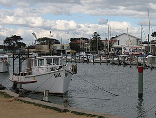
Mordialloc is a beachside suburb in Melbourne, Victoria, Australia, 24 km south-east of Melbourne's Central Business District, located within the City of Kingston local government area. Mordialloc recorded a population of 8,886 at the 2021 census.

Sorrento is a northern coastal suburb of Perth, the capital city of Western Australia in the local government area of the City of Joondalup. At its northwestern corner is the Hillarys Boat Harbour, built in the late 1980s.
West Beach is a seaside suburb of Adelaide, South Australia. It is located in both the City of Charles Sturt and the City of West Torrens.
Hillarys is a northern coastal suburb of Perth, the capital city of Western Australia, in the local government area of the City of Joondalup. It is part of the Whitfords precinct, and is located 21 km north-northwest of Perth's central business district via Mitchell Freeway and Hepburn Avenue.
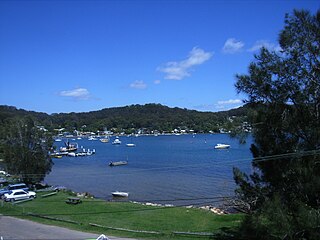
Pretty Beach is a south-eastern suburb of the Central Coast region of New South Wales, Australia on the Bouddi Peninsula. It is part of the Central Coast Council local government area.

Glenelg North is a seaside suburb of Adelaide, South Australia. It is located in both the City of Holdfast Bay and the City of West Torrens.
Wonboyn is a village in New South Wales, Australia in Bega Valley Shire. It is on Wonboyn Lake. At the 2006 census, Wonboyn had a population of 310.

Nudgee Beach is a suburb and beach in the City of Brisbane, Queensland, Australia. In the 2016 census, the suburb had a population of 263 people.
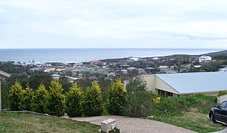
Boat Harbour is a suburb of the Port Stephens local government area in the Hunter Region of New South Wales, Australia. The main population centre of the suburb is the village also known as Boat Harbour. Both lie adjacent to the bay after which they were named. The traditional owners of the land are Worimi people.
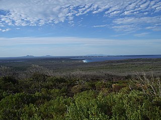
Bremer Bay is a coastal town situated on the south coast of Western Australia in the Great Southern region between Albany and Esperance, at the mouth of the Bremer River. Bremer Bay is 515 kilometres (320 mi) southeast of the state capital, Perth, and 180 kilometres (112 mi) east of Albany.
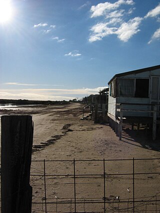
Middle Beach is a small town in South Australia located about 40 kilometres northwest of the Adelaide city centre. It is located in the Adelaide Plains Council.

Great Mackerel Beach is a suburb about 43 kilometres north of the Sydney central business district, from 2016 in the local government area of Northern Beaches Council, Sydney, New South Wales, Australia, formerly part of Pittwater Council. It is on the western shores of Pittwater in Ku-ring-gai Chase National Park, beside Currawong Beach, and near Coasters Retreat and Palm Beach.The resident population was 50 at the 2021 census; the median age was 57, with an average of 0.3 children per family and an average of 1.7 people per household. The population was 36 at the 2016 census, 301 at the 2011 census, and 103 in 2006. As of 2021 there were 111 private dwellings, with many people not listed as residents occupying properties during school holidays and weekends.

Currarong is a small coastal fishing and tourist village of 556 houses in the Shoalhaven area of New South Wales, Australia. At the 2021 census, Currarong had a permanent population of 479. The village is a haven for fishermen, with several underwater rises where fish are abundant. As of 2021, there is a general store and take away cafe called Zac's Place, a licensed club, a caravan park, and many properties available for holiday rental.
Saunders Beach is a coastal town and suburb of Townsville in the City of Townsville, Queensland, Australia. In the 2016 census, the suburb of Saunders Beach had a population of 409 people.

Woodgate is a coastal locality in the Bundaberg Region, Queensland, Australia. In the 2016 census Woodgate had a population of 1,165 people.
Turkey Beach is a coastal town and locality in the Gladstone Region, Queensland, Australia. In the 2016 census, Turkey Beach had a population of 183 people.

Balgal Beach is a coastal suburb and a beach in the City of Townsville, Queensland, Australia. The town of Balgal is within the locality. In the 2016 census, Balgal Beach had a population of 966 people.
Toomulla is a coastal town and suburb in the City of Townsville, Queensland, Australia. In the 2016 census, Toomulla had a population of 183 people.


