Supreme is a census-designated place (CDP) in Assumption Parish, Louisiana, United States. The population was 1,052 at the 2010 census. In 2020, its population was 839.

Killona is a census-designated place (CDP) in St. Charles Parish, Louisiana, United States. The population was 724 in 2020. On December 14, 2022, the town was hit by a destructive and deadly EF2 tornado that damaged or destroyed numerous structures, killed one person, and injured eight others.
Bogue Chitto is an unincorporated community and census-designated place (CDP) in Lincoln County, Mississippi, United States. As of the 2020 census, it had a population of 437. Bogue Chitto is the only municipal hamlet in the state of Mississippi.
Mississippi State is a census-designated place in Oktibbeha County, Mississippi, United States. It is the official designated name for the area encompassing Mississippi State University, which lies partly in the nearby incorporated municipality of Starkville. The population at the 2020 census was 4,968.

Winterville is a census-designated place and unincorporated community located in Washington County, Mississippi, near Mississippi Highway 1. Winterville is approximately 3 miles (4.8 km) north of Greenville, the county seat, and approximately 4 miles (6.4 km) south of Lamont.
Darling is a census-designated place in Quitman County, Mississippi. Darling is located on Mississippi Highway 3, north of Marks. Per the 2020 Census, the population was 154.
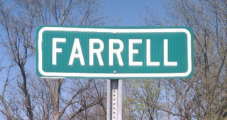
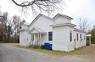
Farrell is an unincorporated community and census-designated place in Coahoma County, Mississippi, United States. Per the 2020 census, the population was 200. Farrell is located approximately 4 miles (6 km) south of Stovall and 4 miles (6 km) north of Sherard on Mississippi Highway 1. It is approximately 9 miles (14 km) northwest of Clarksdale, the county seat.

White Oak is a census-designated place located on Mississippi Highway 4 in Tunica County, Mississippi. White Oak is approximately 2 miles (3.2 km) east of Evansville and approximately 8 miles (13 km) west of Savage. The population at the 2020 census was 692.
Bayou Goula is an unincorporated community and census-designated place (CDP) in Iberville Parish, Louisiana, United States. Its population was 514 in 2020.
Lemannville is an unincorporated community and census-designated place in Ascension and St. James parishes, Louisiana, United States. It was first listed as a CDP in the 2010 Census. Per the 2020 census, the population was 695.
Cloverdale is a census-designated place (CDP) in Adams County, Mississippi, United States, located to the south of the city of Natchez. As of the 2020 census, it had a population of 557.
Beechwood is a census-designated place (CDP) in Warren County, Mississippi, United States. The population was 3,469 at the 2020 census.
Arnold Line is an unincorporated area and census-designated place (CDP) in Lamar County, Mississippi, United States. As of the 2020 census it had a population of 2,333. It is part of the Hattiesburg Metropolitan Statistical Area.
Hester is an unincorporated community and census-designated place in St. James Parish, Louisiana, United States. It was first listed as a CDP in the 2010 census with a population of 498. The community is located along Louisiana Highway 44 on the east bank of the Mississippi River.
Welcome is an unincorporated community and census-designated place in St. James Parish, Louisiana, United States. The community is located along Louisiana Highway 18 on the west bank of the Mississippi River.
Moonshine is an unincorporated community and census-designated place in St. James Parish, Louisiana, United States. It was first listed in the 2010 census with a population was 194. The community is located on the west bank of the Mississippi River.
Romeville is an unincorporated community and census-designated place in St. James Parish, Louisiana, United States. Its population was 130 as of the 2010 census. The community is located along Louisiana Highway 44 on the east bank of the Mississippi River.
Union is an unincorporated community and census-designated place in St. James Parish, Louisiana, United States. The community is located along Louisiana Highway 44 on the east bank of the Mississippi River.
Cleary is an unincorporated community and census-designated place in Rankin County, Mississippi, United States. Per the 2020 census, the population was 1,688.
Robinhood is an unincorporated community and census-designated place in Rankin County, Mississippi, United States. Per the 2020 census, the population was 1,491.

