
State Route 208 is a 37.893-mile (60.983 km) state highway in Douglas and Lyon counties in Nevada, United States. It connects U.S. Route 395 north of Topaz Lake to U.S. Route 95 Alternate in Yerington. The road serves as the primary transportation corridor of Smith Valley and is Main street in Yerington. The route was originally a portion of State Route 3.

State Route 221 is a state highway in Elko County, Nevada. The route, concurrent with Interstate 80 Business follows Chestnut Street in the city of Carlin. The highway was once part of the former route of State Route 1 and former U.S. Route 40 (US 40).

State Route 231 is an unsigned state highway in Elko County, Nevada, United States. Known as Angel Lake Road, the highway connects Angel Lake to the town of Wells. SR 231 is a Nevada Scenic Byway.

State Route 289 (SR 289) is a 1.637-mile (2.634 km) state highway in southern Humboldt County, Nevada, United States. The route serves the city of Winnemucca and the route's western end runs concurrent with Interstate 80 Business (I‑80 Bus.).
State Route 304 is a state highway in Lander County, Nevada, United States. The road is the main street through the town of Battle Mountain, and is also designated Interstate 80 Business. The highway was part of SR 1 and U.S. Route 40 prior to the mid-1970s.

State Route 338 is a state highway in Lyon County, Nevada, United States. It connects the towns of Smith and Wellington to the California state line north of Bridgeport, California. Much of the route has served as a road through this section of Nevada since at least 1919, and was known as State Route 22 from the 1920s until the late 1970s.
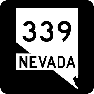
State Route 339 is a 11.523-mile-long (18.544 km) state highway in Lyon County, Nevada, United States. It starts at State Route 208 east of Wilson Canyon and it parallels that route to the west north to U.S. 95 Alternate in Yerington.

In the U.S. state of Nevada, U.S. Route 95 Alternate is an alternate route of U.S. Route 95 located in the western part of the state. It connects Schurz to Interstate 80 via the cities of Yerington and Fernley.
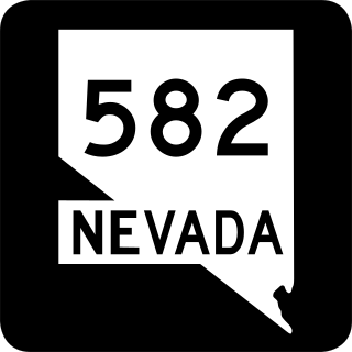
State Route 582 (SR 582) is a major 15.392-mile-long (24.771 km) highway in the Las Vegas Valley. The highway is the former route of U.S. Route 93 (US 93) and US 95 before they were moved to the current freeway alignment shared with Interstate 11 (I-11) and Interstate 515 (I-515). Known primarily as Boulder Highway, the route connects Downtown Las Vegas with Henderson and Boulder City to the southeast.
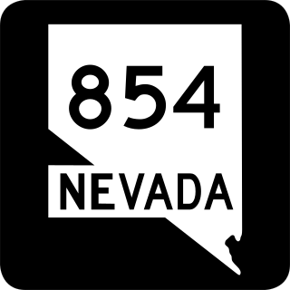
State Route 854 is a state highway in Pershing County, Nevada serving the vicinity of Lovelock. The route comprised a portion of former State Route 48.

State Route 824 is a state highway in Lyon County, Nevada, United States. It runs from State Route 208 near Smith north and west to State Route 823.

State Route 766 is a state highway in north central Nevada. It runs from the town of Carlin north to serve Newmont Mine.

State Route 511 was a short state highway that followed West Washington Street in Carson City, Nevada. It was turned over to local control in 2010.

State Route 512 was a state highway in Carson City, Nevada. It connected Kings Canyon west of Carson City to the state capitol using various city streets. The route dates to the mid-19th century, as part of a wagon trail linking Lake Tahoe and Carson City that was later incorporated into the Lincoln Highway. SR 512 was turned over to local control in 2010.

State Route 513 was a short state highway in Carson City, Nevada. The route was originally part of State Route 65, a longer highway that served the eastern outskirts of the city. SR 513 was turned over to Carson City in phases, and completely removed from the state highway system in 2011.
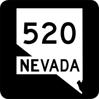
State Route 520 was a short state highway in Carson City, Nevada. The route served the central portion of the city, providing access to several government buildings in the capitol district. It was turned over to local control in 2010.

State Route 531 was a state highway in Carson City, Nevada. It followed a portion of College Parkway in the northern part of the city. Created by 1995, the highway was turned over to city control in 2011.

State Route 795 is a short state highway in southern Humboldt County, Nevada, United States. One of Nevada's newest state routes, SR 795 primarily serves as a connector road north of Winnemucca.


