Air Vanuatu is an airline with its head office in the Air Vanuatu House, Port Vila, Vanuatu. It is Vanuatu's national flag carrier, operating to Australia, New Zealand, New Caledonia and points in the South Pacific. Its main base is Bauerfield International Airport, Port Vila.
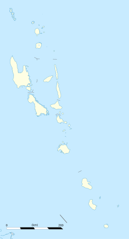
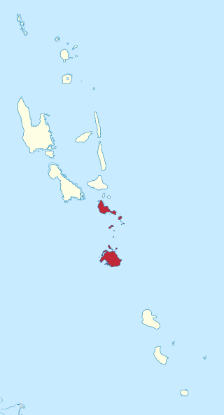
Malampa is one of the six provinces of Vanuatu, located in the center of the country. It consists of three main islands: Malakula, Ambrym and Paama, and takes its name from the first syllable of their names. It includes a number of other islands – the small islands of Uripiv, Norsup, Rano, Wala, Atchin and Vao off the coast of Malakula, and the volcanic island of Lopevi. Also included are the Maskelynes Islands and some more small islands along the south coast of Malakula.

Ambrym is a volcanic island in Malampa Province in the archipelago of Vanuatu. Volcanic activity on the island includes lava lakes in two craters near the summit.
Lakatoro is the capital of Malampa Province of the island country of Vanuatu. It is situated on the eastern shore of Malakula and is the largest settlement in that island. Lakatoro consists of a couple of retail shops, a supermarket, a local market selling locally farmed goods.
Shefa is one of the six provinces of Vanuatu, located in the center of the country and including the islands of Epi and Efate and the Shepherd Islands. The province's name is derived from the initial letters of SHepherd and EFAte. It has a population of 78,723 people and an area of 1,455 km2. Its capital is Port Vila, which is also the capital of the nation.

Malakula Island, also spelled Malekula, is the second-largest island in the nation of Vanuatu, formerly the New Hebrides, in Melanesia, a region of the Pacific Ocean.

Epi is an island in Shefa Province, Vanuatu, at the north end of the Shepherd Islands.

Paama is a small island in Malampa Province, Vanuatu.
Malekoula Airport, also known as Lamap Airport, is an airfield near Lamap on the island of Malekoula, in the Malampa province in Vanuatu. It is one of two airfields on the island, the other being Norsup Airport in the north.

Norsup Airport is an airfield near Norsup on the island of Malakula, in the Malampa province in Vanuatu. It is one of three airfields on the island, the others being Lamap Airport and South West Bay in the south.
Paama Airport is an airport on Paama island, in the Malampa Province of Vanuatu.
Lamap is a village in Malampa Province on the Malekula island in Vanuatu.
Sakao Island may refer to one of the two following islands in the archipelago of Vanuatu:
Sakao, also known as Khoti, is an island in Vanuatu, located off the southeastern shore of Vanuatu's second-largest island, Malakula, in Malampa Province.
Uri is a small island located near Malakula, in the Malampa Province of Vanuatu in the Pacific Ocean.
Arseo Island is a small, uninhabited island in the Malampa Province of Vanuatu in the Pacific Ocean. The estimated terrain elevation above sea level is some 172 metres (564 ft). There are two small neighboring islands: Leumanang and Varo.
Avock Island or Avokh Island is an inhabited island in Malampa Province of Vanuatu in the Pacific Ocean. The estimated terrain elevation above the sea level is some 166 meters.
Uluveo Island is a small, inhabited island in Malampa Province of Vanuatu in the Pacific Ocean. Uluveo is a part of the Maskelyne Islands archipelago.
Leumanang is a small uninhabited island in the Malampa Province of Vanuatu. Leumanang is a part of the Maskelyne group off south Malekula.