
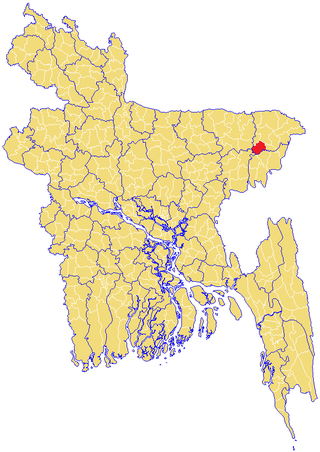
Feni is a district located in southeastern Bangladesh. It was a part of the Greater Noakhali, Comilla, Chittagong and Tripura. As of 2011, the district's estimated population stood at 1,437,371, making it the ninth-most populous district in Chittagong Division. The administrative hub of the district is in Feni City, which also serves as the headquarters of Feni Sadar Upazila in the central section of the district. The original name of the district was Shamshernagar, which served as a mahakuma under the district of Noakhali, Comilla and Chittagong District until 6 December 1984. It is the 64th Number Districts of Bangladesh. The district consists of six sub-districts: Sonagazi, Fulgazi, Parshuram, Daganbhuiyan, Chhagalnaiya and Feni Sadar.

Lakshmipur, also spelt Laxmipur, with an area of 1455.96 km2, is a district of Bangladesh. It is bordered by Chandpur to the north, Bhola and Noakhali districts to the south, Noakhali to the east, and Barisal and Bhola districts to the west. Lakshmipur was the part of Noakhali until 15 February 1984.
Banshkhali is an upazila of Chattogram District in Chattogram Division, Bangladesh.
Chandanaish is an upazila of Chattogram District in Chattogram Division, Bangladesh.
Lohagara is an upazila of Chattogram District in Chattogram Division, Bangladesh. Lohagara is situated between Chattogram and Cox's Bazar. It is one of the largest and most densely populated upazilas of Bangladesh.
Rangunia is an upazila of Chattogram District in Chattogram Division, Bangladesh.

Raozan,gohira is an upazila of Chattogram District, in Chattogram Division, Bangladesh. It was established in 1947.
Debidwar is an upazila of Comilla District in the Division of Comilla, Bangladesh.
Lakshmipur or Laxmipur Sadar is an upazila of Lakshmipur District in the Division of Chittagong, Bangladesh.
Senbagh, also spelt Senbag and Senbug, is an upazila of Noakhali District. It is named after its administrative centre, the municipality of Senbagh.
Lakhai is an upazila of Habiganj District in the Division of Sylhet, Bangladesh.
Balaganj is an upazila of Sylhet District in Sylhet Division, Bangladesh.
Fenchuganj is an upazila of Sylhet District in the Division of Sylhet, Bangladesh.
Islampur is an Upazila of Jamalpur District in the Division of Mymensingh, Bangladesh.
Hossainpur is an upazila of Kishoreganj District in the Division of Dhaka, Bangladesh. The city is located on the bank of Brahmaputra river. The distance of Hossainpur is 14 km from Kishoreganj District and 95 km from Dhaka Mohakhali bus station.
Dhamoirhat is an upazila of Naogaon District in the Division of Rajshahi, Bangladesh. The main river of the Dhamoirhat Upazila is the Atrai.
Chatmohar is an upazila of Pabna District in the Division of Rajshahi, Bangladesh.
Sirajganj Sadar is an upazila of Sirajganj District in the Division of Rajshahi, Bangladesh.
Kasim Ali Model High School is a secondary school situated in the Rajonpur area of Fenchuganj Upazila, Sylhet District, Bangladesh. The school is accredited by the Board of Intermediate and Secondary Education, Sylhet. It offers study in the fields of science, humanities and business studies.
Mahmud Us Samad Chowdhury was a Bangladesh Awami League politician and a Jatiya Sangsad member representing the Sylhet-3 constituency for three terms.

