
Malham Beck is a stream some 1.2 miles (2 km) long, running southwards through the valley beneath Malham Cove in the Yorkshire Dales, England. It originates in a cave beneath Malham Cove, and flows through Malham before joining Gordale Beck to become the River Aire just south of the village.

The River Swale in Yorkshire, England, is a major tributary of the River Ure, which becomes the River Ouse, that empties into the North Sea via the Humber Estuary. The river gives its name to Swaledale, the valley through which it flows.

The Eden Valley Railway (EVR) was a railway in Cumbria, England. It ran between Clifton Junction near Penrith and Kirkby Stephen via Appleby-in-Westmorland.

The Little Manatee River flows 51 miles (82 km), from east of Fort Lonesome, Florida South of Hwy 674 and Earl Reynolds Rd In Hillsborough County through southern Hillsborough County, Florida including towns such as Sun City, Florida, and Gulf City, Florida and northern Manatee County, Florida into Tampa Bay. It has a drainage basin of 222 square miles (570 km2). It flows along the Little Manatee River State Park for part of its route. Portions of the river Such as Hayes Bayou and Mills Bayou have been designated as an Outstanding Florida Water and are part of the Cockroach Bay Aquatic Preserve.

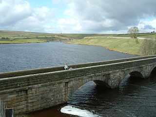
The River Lowther is a small river which flows through limestone rock in Cumbria, England. It is a tributary of the River Eamont which in turn is a tributary of the River Eden which flows into the Solway Firth near Carlisle. The Lowther begins with the confluence of the Keld Gill and the Keld Dub near the village of Keld. It flows north-west until it passes between Bampton and Bampton Grange, before turning north until it flows into the River Eamont close to Penrith.
The River Wenning is a tributary of the River Lune, flowing through North Yorkshire and Lancashire. The name derives from the Old English Wann, meaning dark river.
Lunedale is the dale, or valley, of the River Lune, on the east side of the Pennines in England, west of Middleton-in-Teesdale. Its principal settlements are Grassholme, Thringarth and Bowbank.
The River Keer is a river in Northern England. It flows for 10 kilometres (6.2 mi) through the English counties of Lancashire and Cumbria.

The River Lyvennet is a river flowing through the county of Cumbria in England.
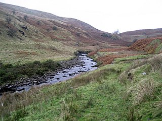
The River Roeburn is a river in Lancashire, England.
Leck Beck is a watercourse in Lancashire with its source on Crag Hill in Cumbria between Leck Fell and Casterton Fell.
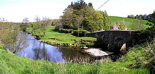
Artle Beck is a minor river of Lancashire, England.

Urr Water or River Urr is a river in which flows through the counties of Dumfriesshire and Kirkcudbrightshire in southwest Scotland.

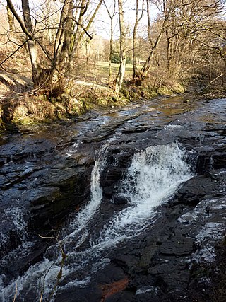
The River Grizedale, also known as Grizedale Beck, is a river in Lancashire, England.

The Little Ossipee River is a 33.7-mile-long (54.2 km) tributary of the Saco River in southwestern Maine, USA.

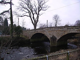
Cliburn is a village and civil parish in the Eden district of Cumbria, England. The civil parish includes the hamlet of Town Head. In 2001 the population was 204, increasing to 274 at the 2011 Census.

Melkinthorpe is a hamlet in the civil parish of Lowther, in the Eden district, in the county of Cumbria, England. It is near the villages of Hackthorpe and Cliburn. Circa 1870, it had a population of 99 as recorded in the Imperial Gazetteer of England and Wales.
Cliburn Moss is a national nature reserve located northwest of the village of Cliburn, in the county of Cumbria, England. It contains wetland habitats, produced by a hollow in the glacial valley.

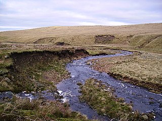
Mosedale Beck is a river in Cumbria, England, which rises on the northern slopes of Great Dodd and flows north east, to the south of Clough Head before joining the River Glenderamackin to the east of Threlkeld village. This then flows west, alongside the A66 road south of Blencathra, to form the River Greta which flows into the River Derwent.
The River Faughan is a river in northwest Northern Ireland.
